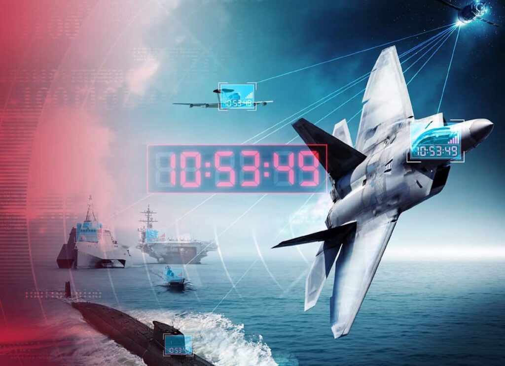
Navigation and positioning solutions deliver the critical foundation for accurate movement, coordination, and timing across air, land, and maritime missions. Encompassing technologies such as GNSS receivers, antennas, timing and synchronization equipment, geolocation software, sensing and air data systems, these capabilities ensure forces can operate with precision even in GPS-degraded or contested environments.
If you design, build or supply Navigation & Positioning, create a profile to showcase your capabilities and connect with visitors who have an active requirement for your solutions.
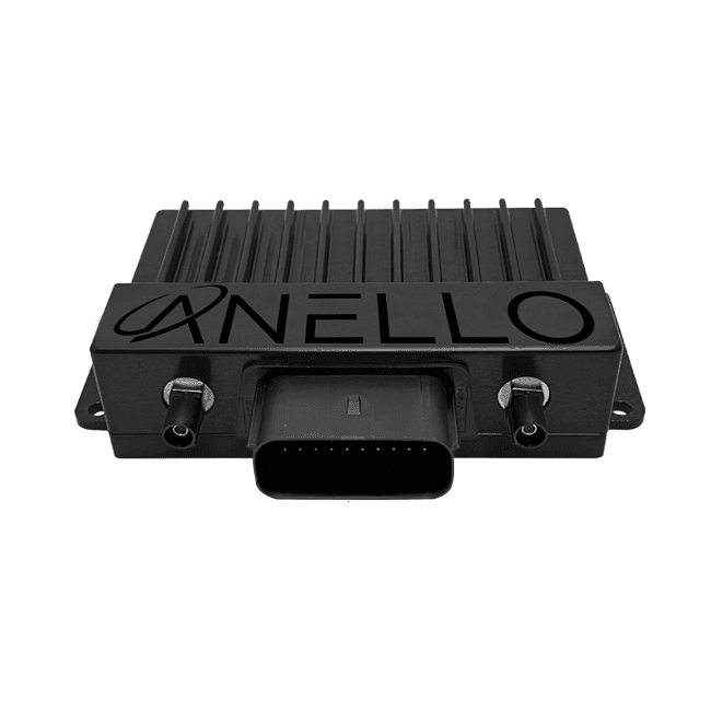
Laser velocity sensing for assured navigation in GNSS-denied operations
Laser velocity sensing for assured navigation in GNSS-denied operations
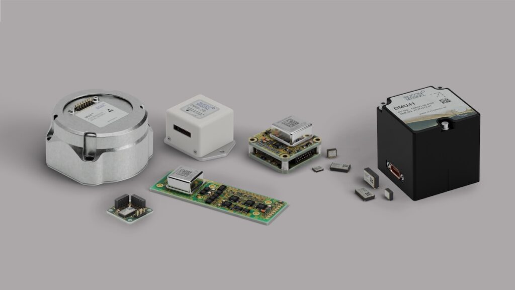
...ly to Advanced Navigation’s INS navigation filter, eliminating the scaling errors and slip effects... ......icle motion, capturing dynamics such as vibration and wheel slip that affect navigation accuracy....
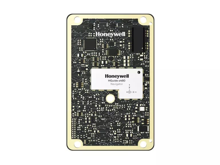
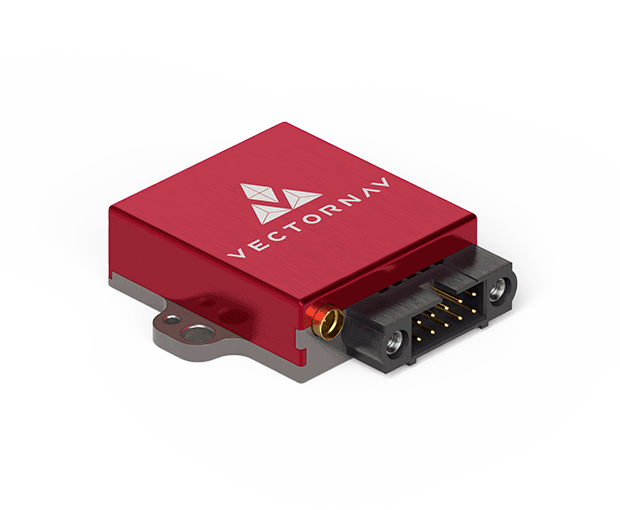
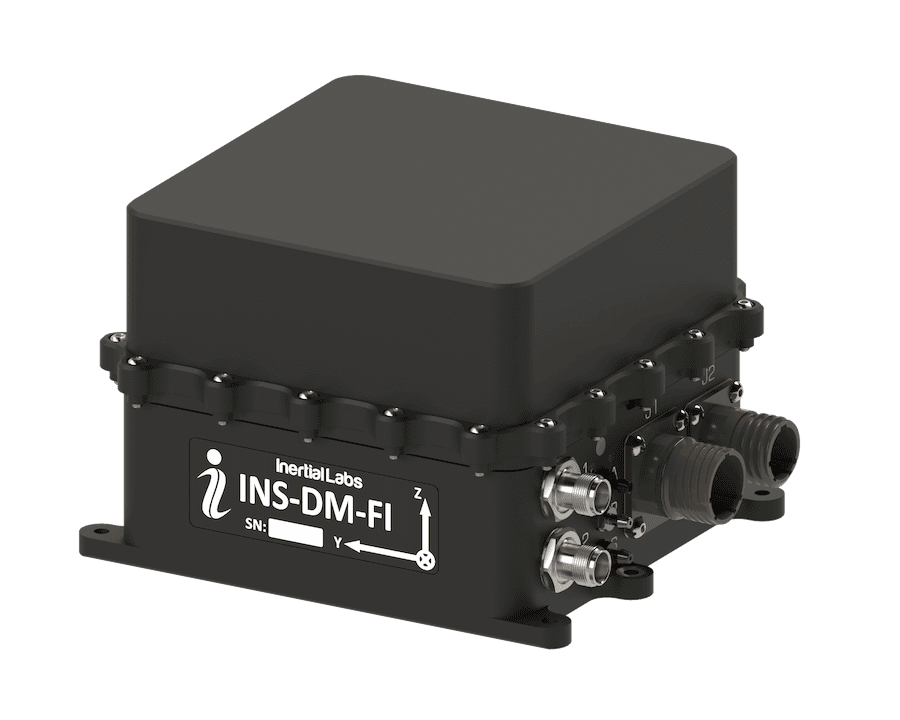
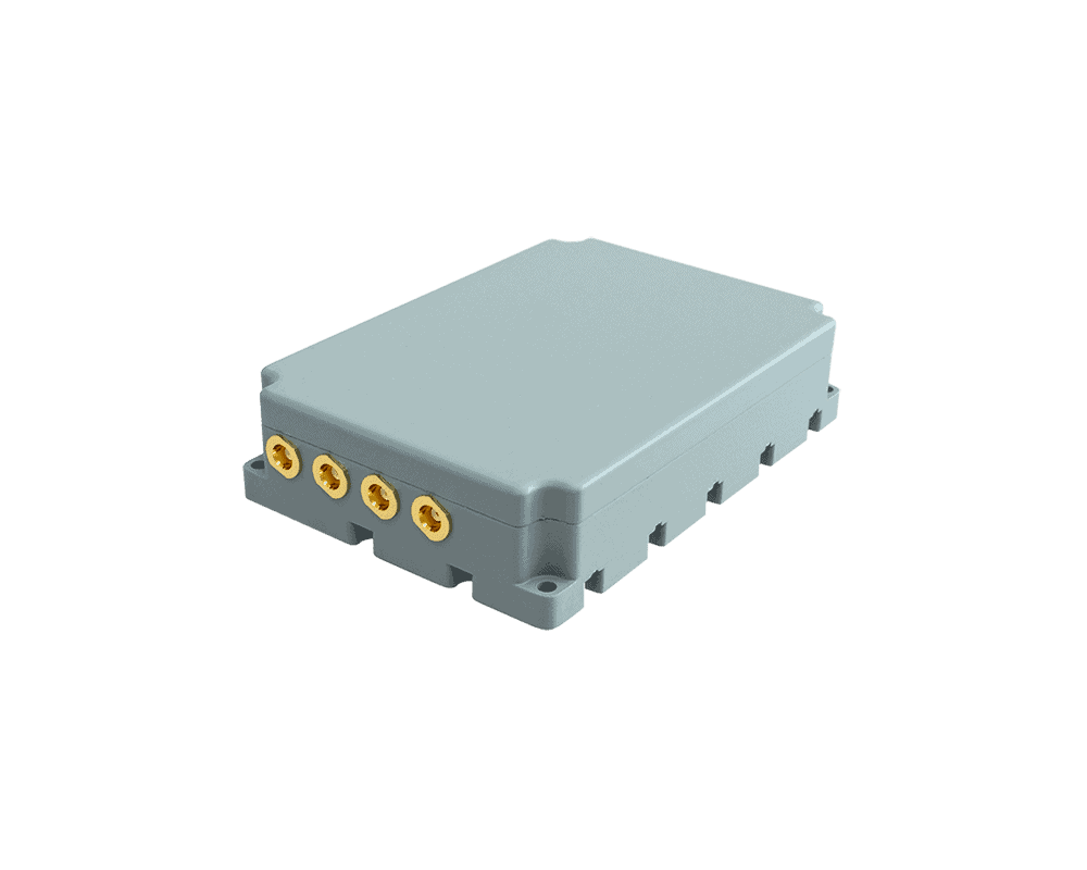
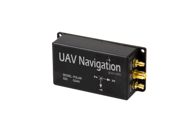
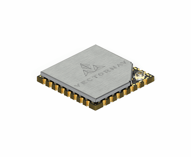
OEM dual-antenna GNSS-INS with Honeywell HG4930 IMU
OEM dual-antenna GNSS-INS with Honeywell HG4930 IMU
...Aided Inertial Navigation System (INS-DH-OEM) is an OEM version of the new generation of dual GNSS... ... MEMS inertial navigation system in an OEM form factor, featuring an advanced NovAtel dual-antenna...
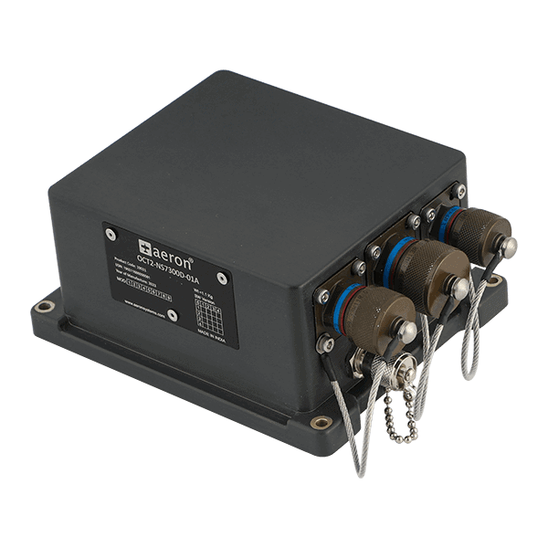
Multi-tiered system for secure UAV navigation in GNSS-denied environments
Multi-tiered system for secure UAV navigation in GNSS-denied environments
...pace Resilient Navigation System is a low-SWaP solution that utilizes three different technologies... ......
The three layers of the Resilient Navigation System include:
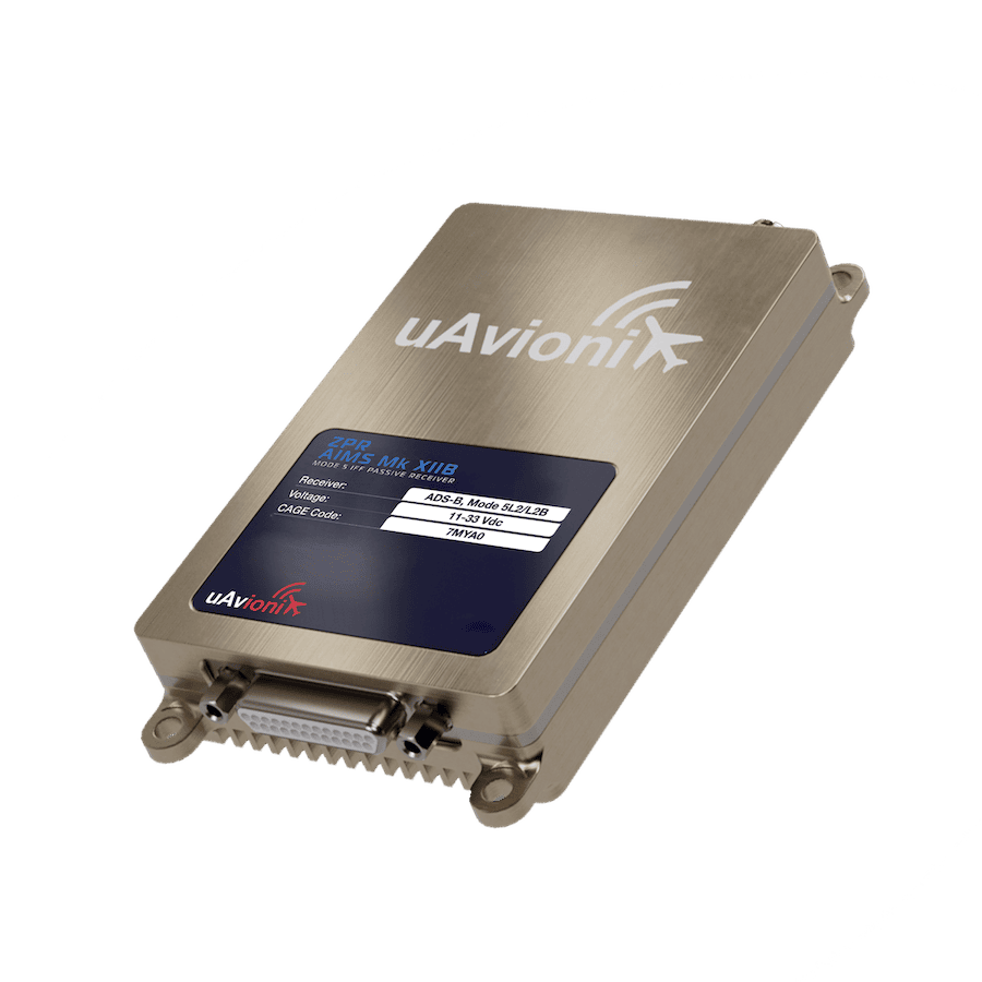
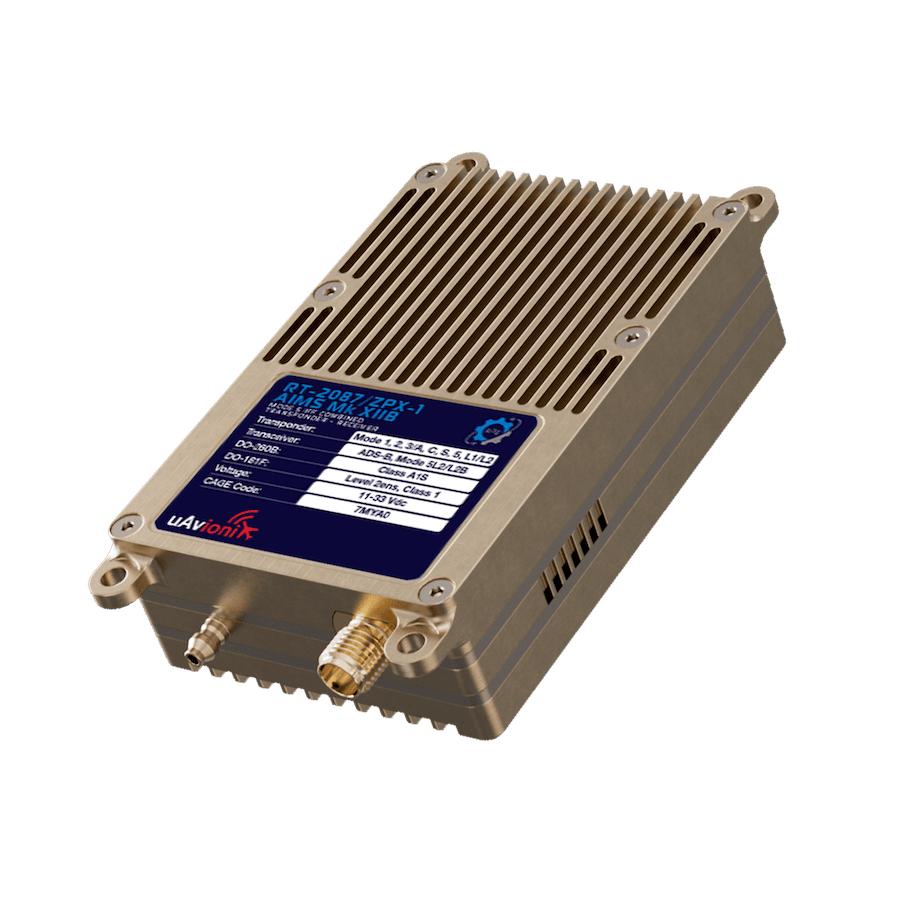
... receivers and navigation systems on existing and legacy military fleets.
... ... receivers and navigation systems on existing and legacy military fleets....
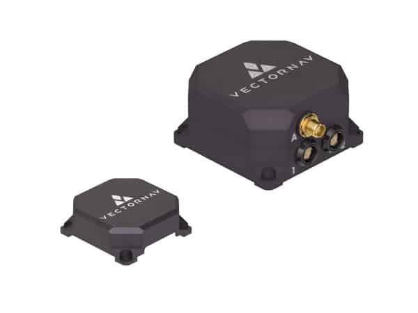
ALIGN® Heading and Relative Positioning GNSS Firmware
ALIGN® Heading and Relative Positioning GNSS Firmware
...urate relative positioning information between two or more receivers in dynamic land, air and marine... ...nerate precise positioning and heading for dynamic applications such as marine or aviation. ALIGN...
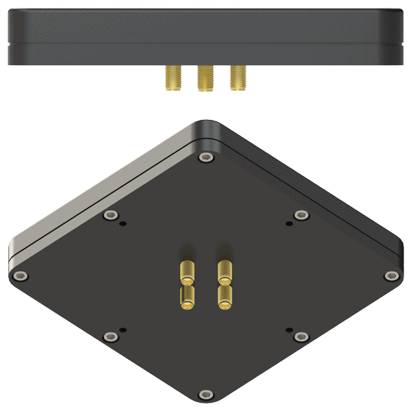
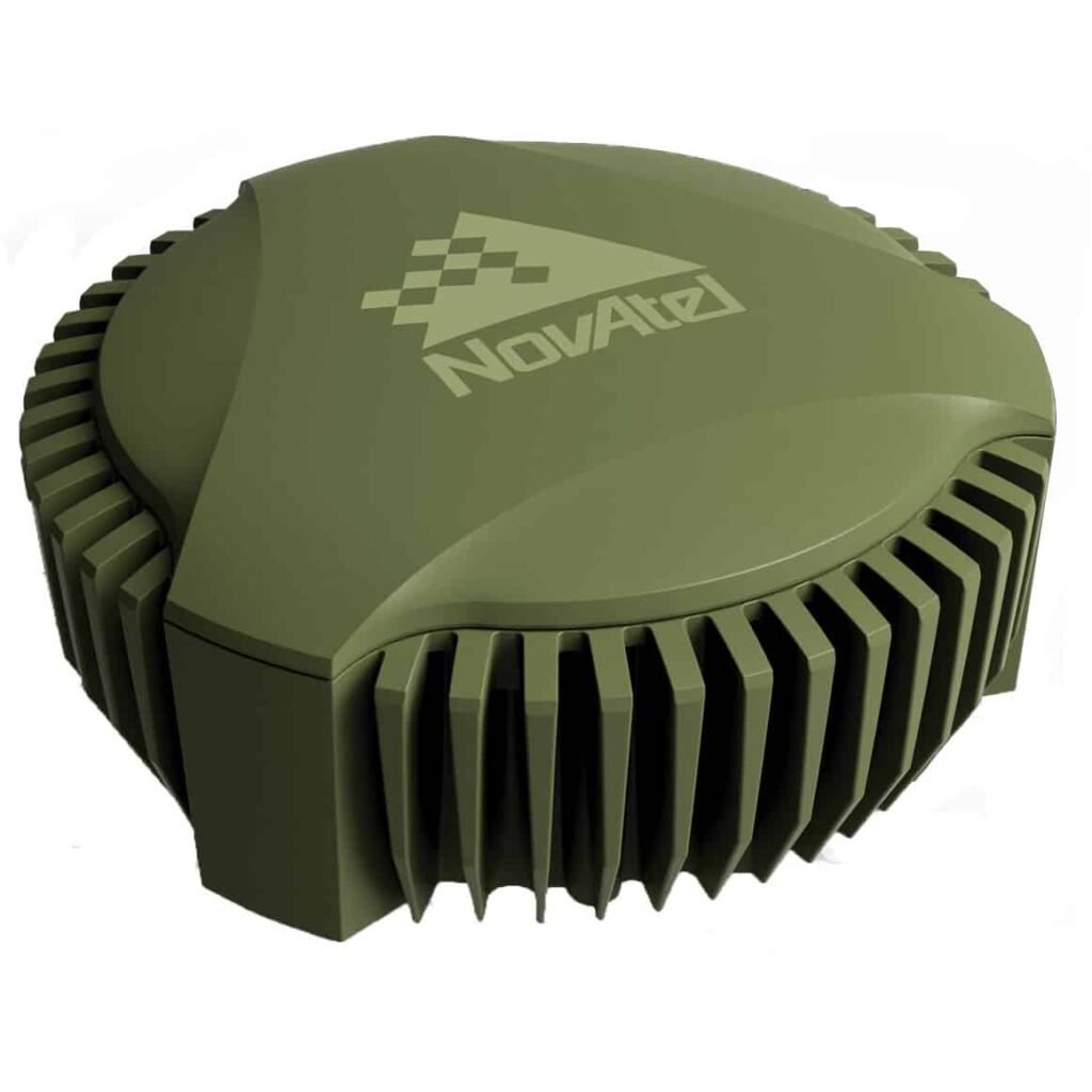
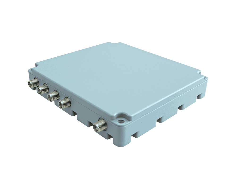
16-element multi-array CRPA anti-jamming solution for L1/L2/L5 GNSS protection
16-element multi-array CRPA anti-jamming solution for L1/L2/L5 GNSS protection
...upport assured navigation for tactical UAVs, autonomous ground systems, naval platforms, robotics,... ...t tracking and positioning performance under active interference conditions. An integrated WebGUI...
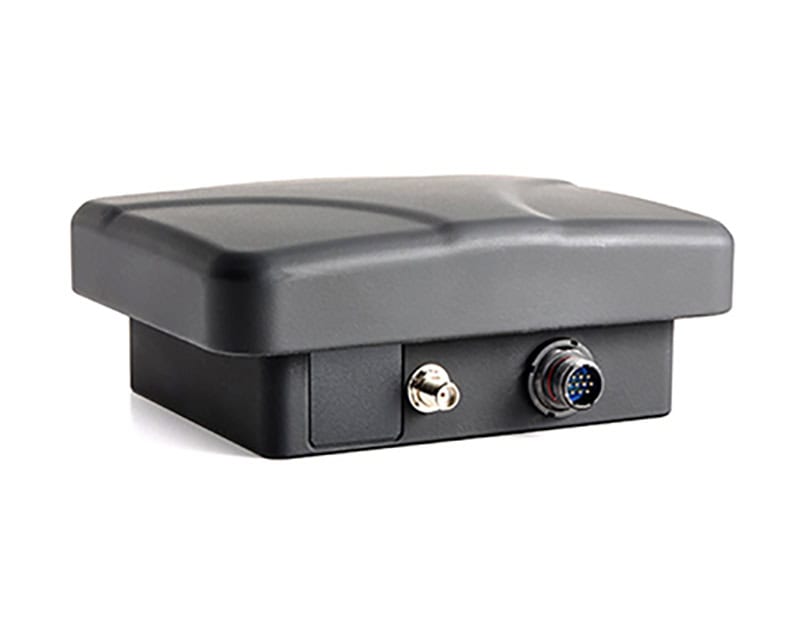
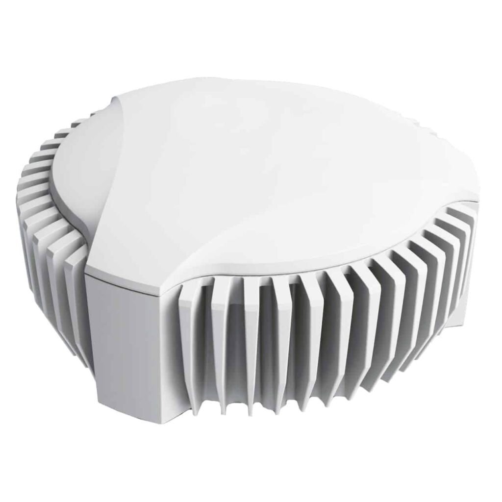
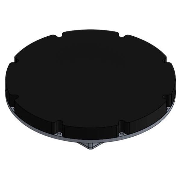
8-element dual-band CRPA anti-jamming solution for L1/L5 GNSS protection
8-element dual-band CRPA anti-jamming solution for L1/L5 GNSS protection
...ring resilient positioning performance in contested electromagnetic environments. Designed to meet... ...ver for robust navigation performance. An integrated WebGUI provides real-time monitoring and...
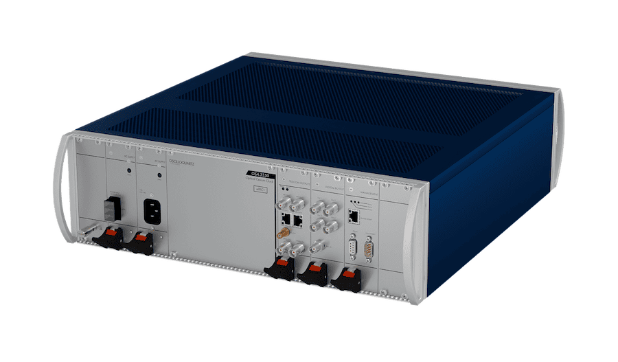
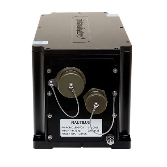
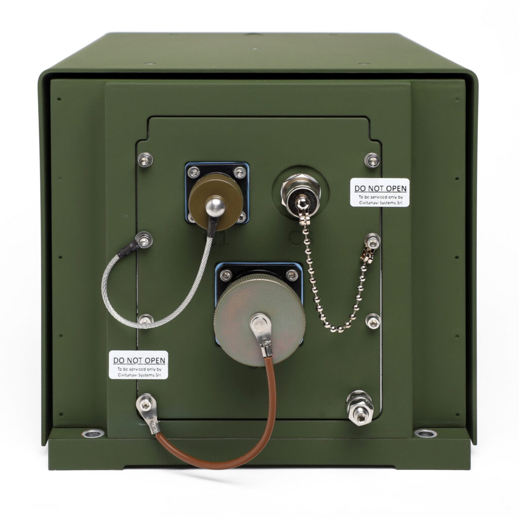
Precision navigation for military and commercial vehicles in GNSS-denied & contested environments
Precision navigation for military and commercial vehicles in GNSS-denied & contested environments
... is an assured navigationsolution for military land vehicles that uses advanced Doppler LiDAR... ...S and inertial navigation sensor architectures. It provides RS-422, CAN and Ethernet interfaces, and...
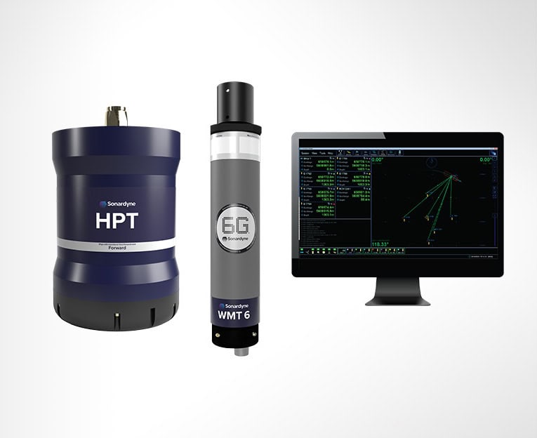
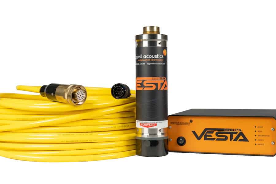
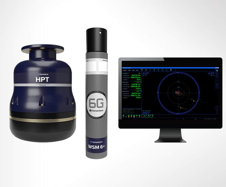
USBL tracking, dynamic positioning & subsea telemetry system
USBL tracking, dynamic positioning & subsea telemetry system
...ty for dynamic positioning, acoustically aided inertial navigation, autonomous vehicle command and... ...ile underwater positioning, tracking, and telemetry system developed for subsea survey, offshore...
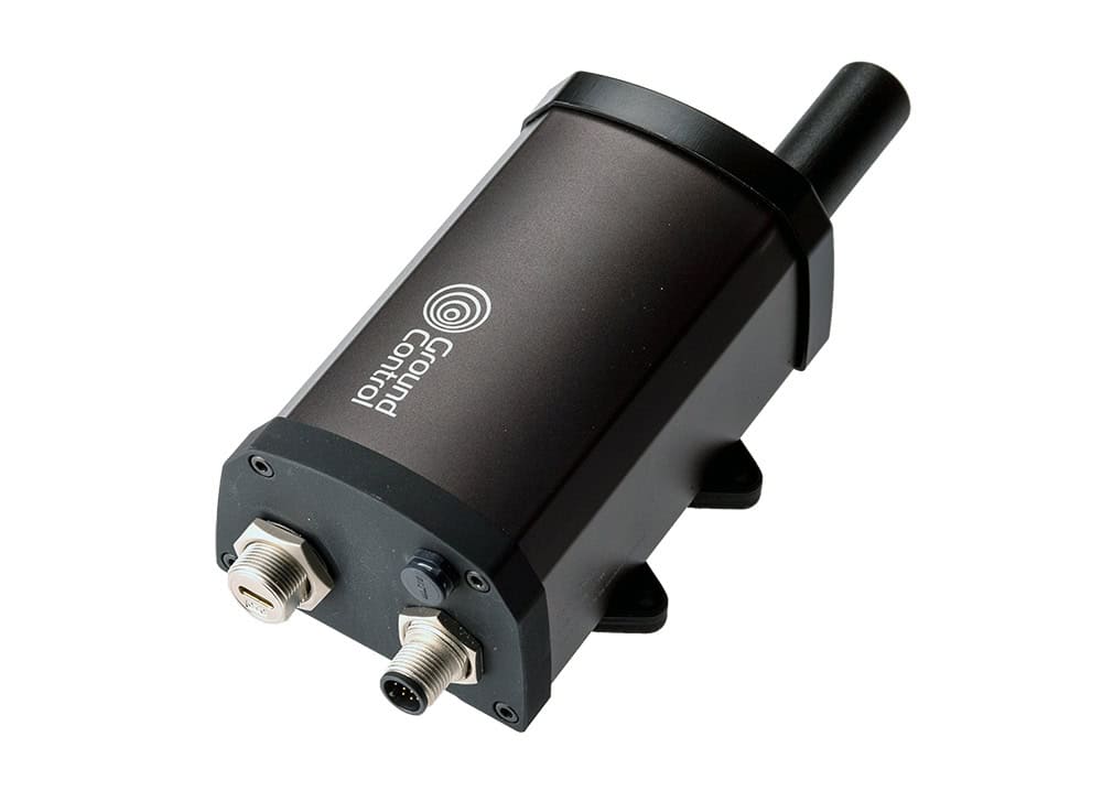
Compact acoustic transceiver for AUV tracking, communications & navigation aiding
Compact acoustic transceiver for AUV tracking, communications & navigation aiding
...ng, telemetry, navigation aiding, and emergency relocation capabilities within a highly... ...unications and positioning performance for swarm robotics, coordinated AUV missions, and seabed...
USBL tracking, positioning & underwater communications system for marine robotics
USBL tracking, positioning & underwater communications system for marine robotics
...ater tracking, positioning, and communications system developed for offshore survey, marine... ...ivers reliable positioning and telemetry performance even in challenging high-elevation and long...
Compact USBL transponder for underwater tracking & subsea positioning
Compact USBL transponder for underwater tracking & subsea positioning
...ater tracking, positioning, and acoustic communication across AUV, ROV, diver, and towfish... ..., and reliable positioning data in challenging underwater environments. Available in NFC, connector,...
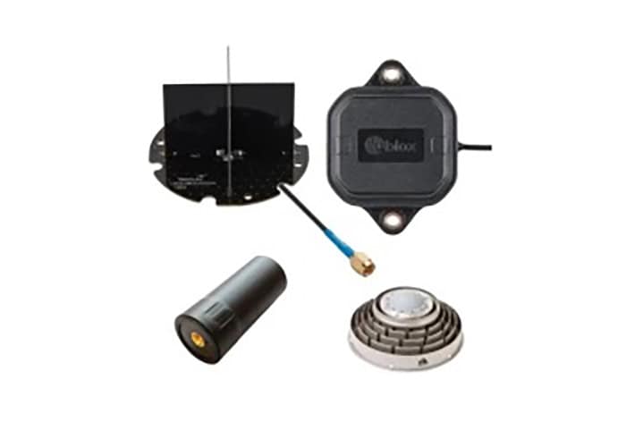
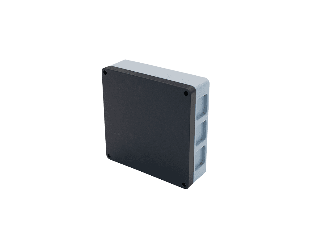
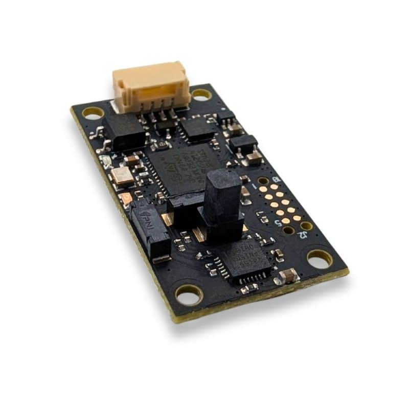
NDAA-compliant dual-band GNSS & magnetometer module for reliable positioning
NDAA-compliant dual-band GNSS & magnetometer module for reliable positioning
...ence-resistant positioning performance. Powered by the u-blox DAN-F10N receiver, it supports L1, L5,... ......sing, compact form factor, and verified compliance for demanding embedded navigation...
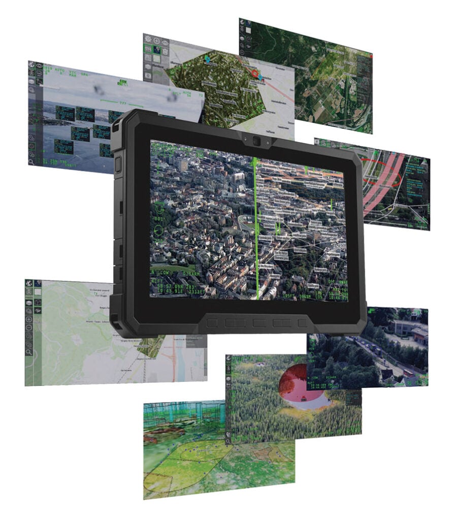
Cutting-edge multi-domain PED software for enhanced situational awareness
Cutting-edge multi-domain PED software for enhanced situational awareness
...Dissemination) solution that utilizes real-time geospatial and environmental information from a... ...multi-platform solution can be deployed on a wide variety of workstation, desktop and mobile...
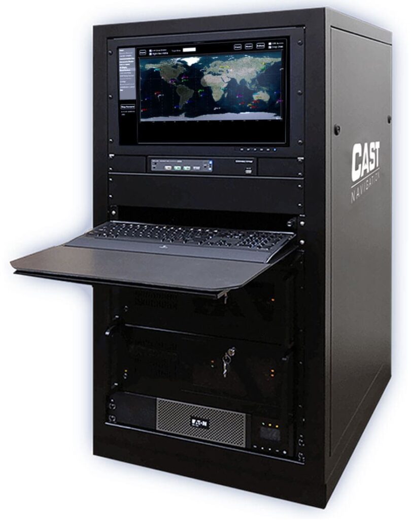
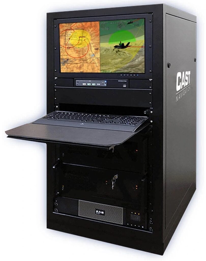
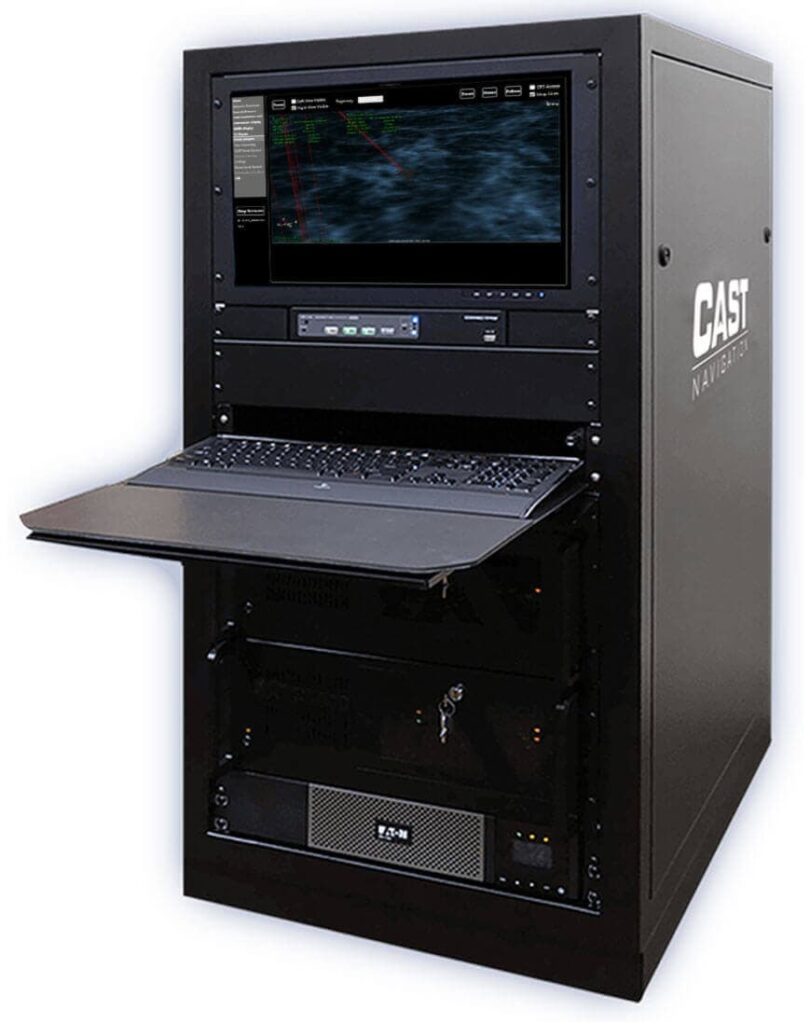
Threat simulation for navigation & anti-jamming systems
Threat simulation for navigation & anti-jamming systems
CAST Navigation's jamming and interference simulation systems for military navigation and... ...Ideal solution for military laboratories where an interference signal capability is desired
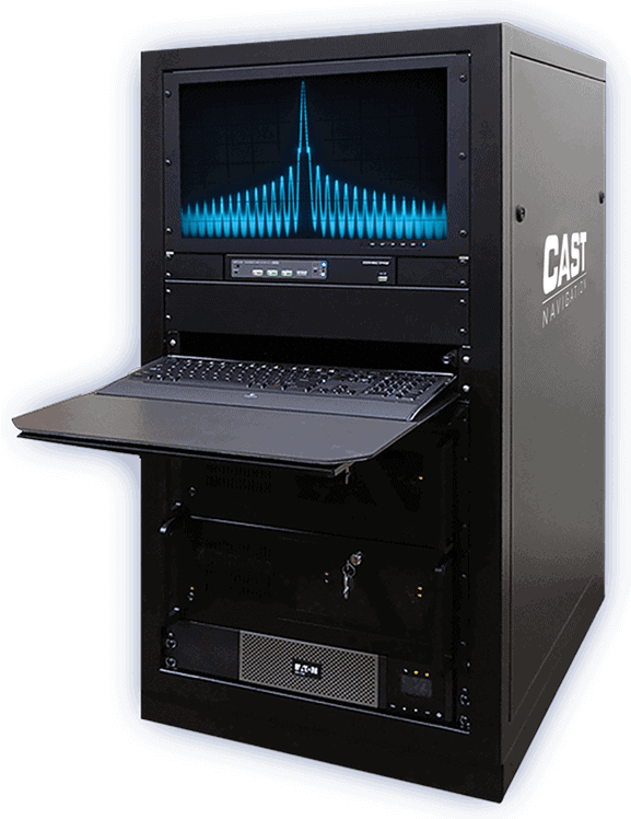
Wavefront simulation for CRPA antenna systems testing
Wavefront simulation for CRPA antenna systems testing
......��wavefront” that is a perfect solution for testing phased array (CRPA) types of antenna... CAST Navigation CRPA (controlled reception pattern antenna) simulators provide coherent, and...
Military navigation involves moving vehicles or personnel from place to place, usually by comparing current position to known locations. It is an essential process on land, at sea and in the air, and navigation systems have been developed for soldiers on foot, land vehicles, naval vessels, and manned and unmanned aircraft.
GNSS satellite navigation using systems such as GPS or Galileo is one of the primary forms of military geolocation and navigation technology, although older methods such as radio or radar navigation are also still used.
Radio navigation uses measurements that determine the direction of and distance to a radio source such as navigation beacons.
Radar navigation is usually used by airborne and marine platforms, and can be used to identify and track targets and obstacles at sea or in the air.
Military GPS navigation uses PPS (Precise Positioning Service), which utilizes both L1 and L2 frequencies to ensure more robust positioning. A signal known as M-code is also used to improve security and anti-jamming and spoofing capabilities.
Inertial navigation which uses measurements from accelerometers and gyroscopes to calculate position, orientation and velocity, can be used as a complement to GNSS navigation, and is especially useful for environments where GPS-denied navigation is required.
Other alternative navigation technologies currently under development include:
Vision-aided navigation: compares footage from a camera feed with computerized maps to provide accurate positioning and navigation
Celestial-aided navigation: uses stars and other objects such as satellites to provide known references for position and velocity
Magnetic anomaly-aided navigation: compares readings of magnetic strength to magnetic maps to determine position relative to Earth
Navigation Displays
Military navigation displays are used to provide information to soldiers, pilots, mariners and vehicle operators. These may take the form of handheld devices, built-in screens, rugged enclosed systems that can be plugged into vehicle interfaces, and aircraft head-up displays (HUDs). They may include features such as touchscreens or night vision compatibility.
Honeywell Aerospace has unveiled the iTALIN 550, a European-manufactured navigation platform that maintains high-precision vehicle positioning even when satellite signals are compromised
A new electronic warfare protection system from Roke aims to redefine access to resilient satellite navigation by delivering high performance filtering capabilities in an affordable and compact package built to secure modern autonomous platforms
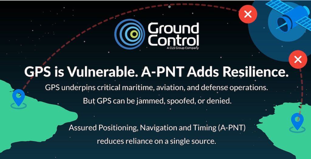
Ground Control is addressing rising GPS jamming and spoofing threats with resilient A-PNT capabilities designed to provide independent positioning, trusted timing, and operational continuity during GNSS disruption
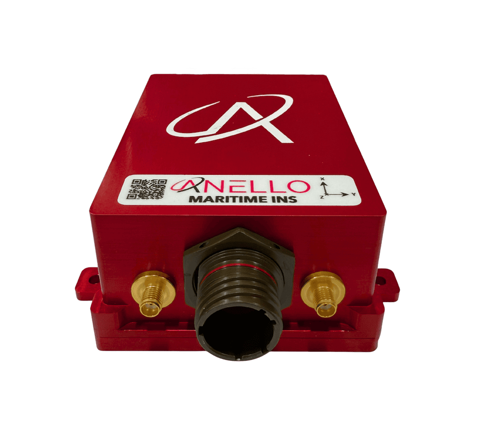
ANELLO Photonics outlines how its Maritime INS combines SiPhOG™ optical gyroscope technology, multi-sensor fusion, and real-time state estimation to support resilient maritime navigation during GPS jamming, spoofing, signal degradation, and GNSS-denied operations
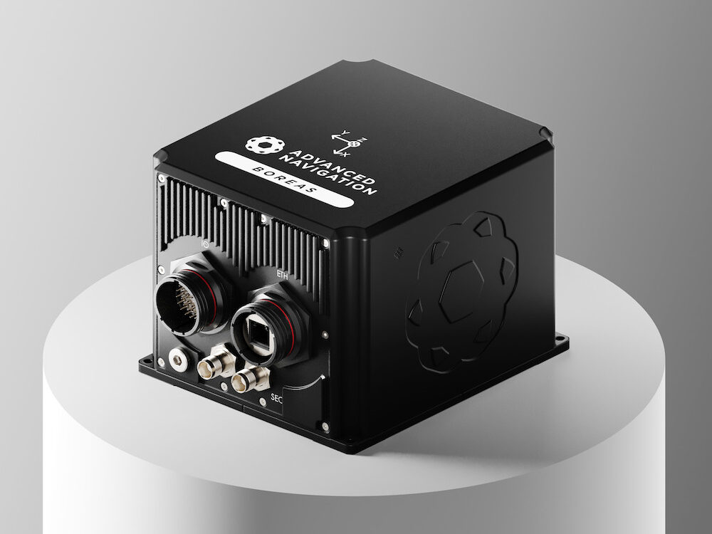
Advanced Navigation discusses comprehensive Evaluation Kits for the Boreas 50 INS Series, providing engineers with all necessary components in a rugged case to ensure immediate performance validation upon the first power-up
May 11, 2026
Advancing Defense Capability Through Strategic Collaboration
Defense Advancement works with major OEMs to foster collaboration and increase engagement with SMEs, to accelerate innovation and drive defense capabilities forward.