EMCORE Corporation

High-Performance Fiber Optic, Ring Laser Gyro and MEMS Inertial Sensors & Navigation Systems

United States of America
EMCORE Corporation
High-Performance Fiber Optic, Ring Laser Gyro and MEMS Inertial Sensors & Navigation Systems
450 Clark Drive, Budd Lake, NJ 07828 United States of America Regional offices
+1 626-293-3400

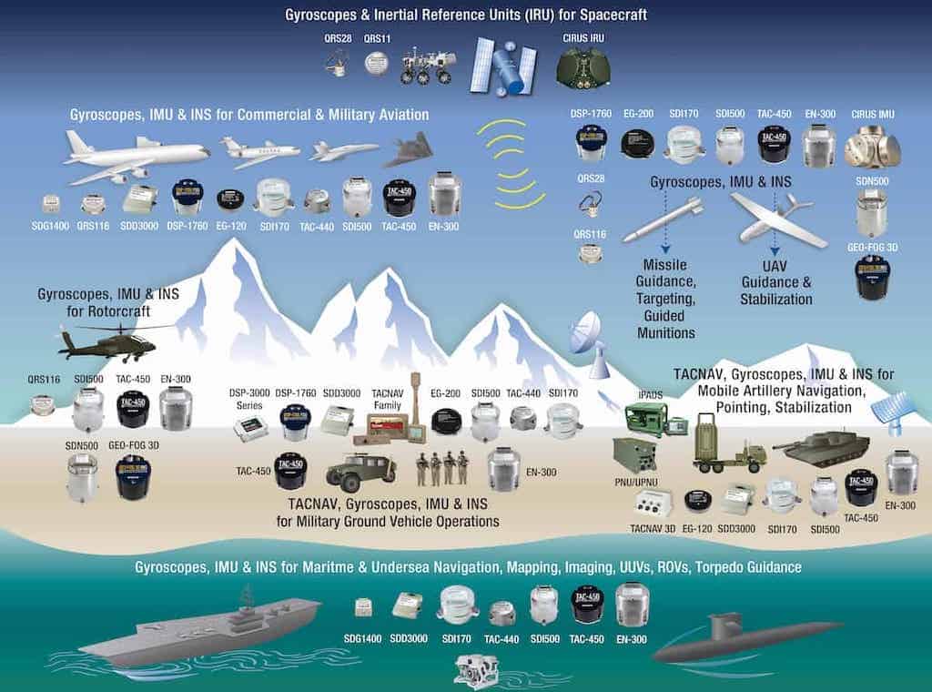
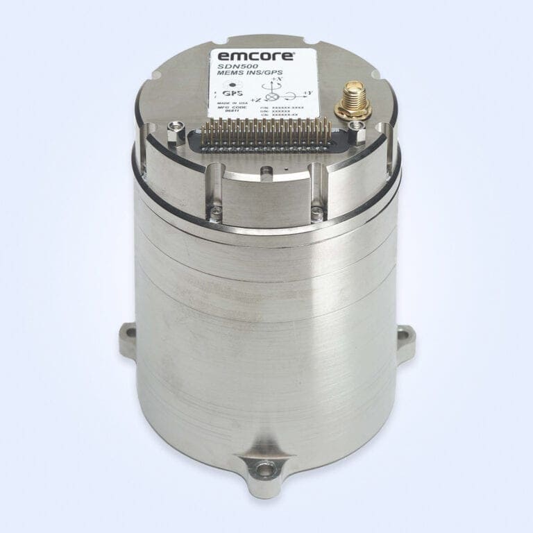
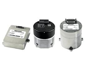
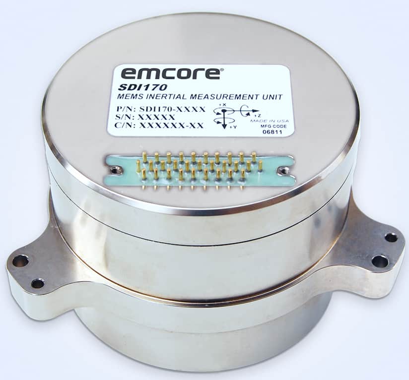
EMCORE Corporation is a leading designer and manufacturer of the world’s highest-performance Fiber Optic Gyro (FOG), Ring Laser Gyro (RLG), and MEMS-based inertial sensors and navigation systems for aerospace and defense. Our comprehensive product suite serves a broad range of tactical, navigation- and strategic-grade requirements for armed forces worldwide, and are integrated into demanding defense platforms in the harshest conditions on land, sea, air and space.

emcore tactical navigation solutions

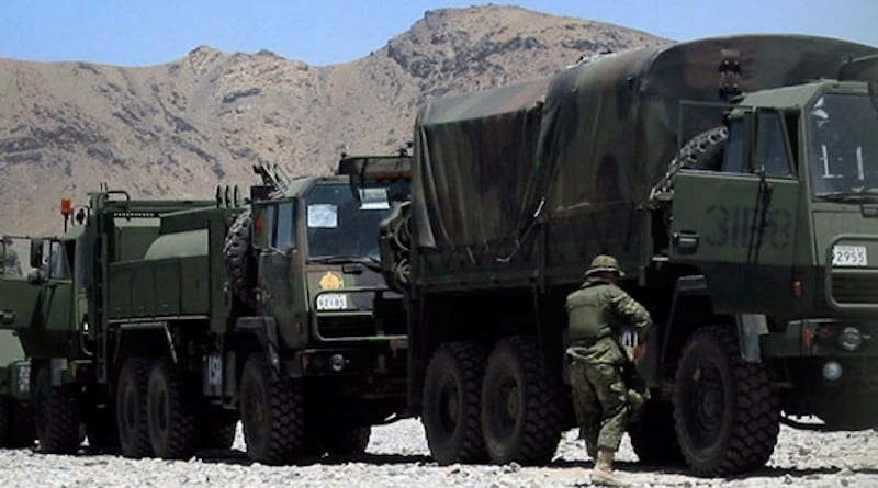
Backed by decades of experience in inertial technology and assured positioning, navigation and timing (A-PNT), EMCORE’s combat-proven products for the battlefield deliver mission-critical information to warfighters and their equipment, ensuring success in precision military operations.

Tactical Navigation Solutions

Our TACNAV tactical navigation systems for military ground vehicles provide resilient and unjammable A-PNT capabilities without reliance on vulnerable satellite-based data. To date, EMCORE has manufactured and installed over 22,000 TACNAV systems on combat, command, and support vehicles of all types.

Full 3D tactical navigation & A-PNT solutionTACNAV 3D
Full 3D tactical navigation & A-PNT solution

Light military vehicle navigation system with embedded GPSTACNAV Light/GPS
Light military vehicle navigation system with embedded GPS

Universal multilingual display for military vehicle navigation systemsTACNAV UMD
Universal multilingual display for military vehicle navigation systems

FOG-based tactical INS for military vehiclesTACNAV IIc
FOG-based tactical INS for military vehicles

tactical navigation for turreted vehiclesTACNAV TLS
Easy-to-integrate tactical navigation for turreted vehicles

Real-time moving map display for battlefield navigationTACNAV MMD
Real-time moving map display for battlefield navigation

FOG & MEMS IMUs

We offer FOG- and MEMS-based IMUs in a variety of performance variants to suit a range of military and defense requirements, up to navigation-grade. Our robust inertial measurement units provide reliable acceleration and angular rate outputs for GPS-denied navigation, precise targeting, line-of-sight stabilization and other mission-critical use cases.

Tactical-grade IMU with photonic chip technologyTAC-450 Series
Tactical-grade IMUs with photonic chip technology

Precision FOG IMUEN-300
Precision FOG IMU with multiple performance variants

World’s smallest tactical-grade 1°/hour IMUTAC-440
World’s smallest tactical-grade 1°/hour IMU

Tactical-grade quartz MEMS IMUSDI500
Tactical-grade quartz MEMS IMU for rugged military environments

Tactical-grade MEMS IMUSDI170
Tactical-grade MEMS IMU alternative to legacy RLG systems

Strategic-Grade FOG Systems

Our CIRUS (Compact Inertial Reference Unit for Space) products deliver cutting-edge strategic-grade inertial navigation, guidance, pointing and stabilization for defense applications, and have been used to support U.S. Department of Defense and NASA missions.

Compact space-grade inertial reference unitsCIRUS & CIRUS-EX
Compact space-grade inertial reference units

Strategic-grade FOG IMUCIRUS-A
Strategic-grade FOG IMU for missile & defense applications

Inertial Navigation Systems

Our rugged ultra-reliable inertial navigation systems provide state-of-the-art navigation, guidance and control for a wide variety of platforms including fixed-wing aircraft and rotorcraft, weapon systems, unmanned systems, and land vehicle platforms. The product family includes high-performance GNSS-aided systems that utilize sophisticated sensor fusion to ensure precision and accuracy even in the event of loss of GPS tracking.

GEO FOG 3D Dual Inertial Navigation SystemGEO-FOG 3D Dual INS
Rugged FOG INS with two GNSS antennas

Tactical-grade quartz MEMS GPS-aided INSSDN500
Tactical-grade quartz MEMS GPS-aided INS

Fiber Optic & MEMS Gyroscopes

EMCORE’s range of single- and multi-axis FOG and quartz MEMS gyroscopes offer superior performance with a lower SWaP-C (size, weight, power and cost) footprint than competing units and legacy designs. Delivering robust angular rate data for tactical to navigational-grade requirements, our gyros are ideal for precision navigation in GPS-denied environments, gimbal and platform stabilization, and integration into higher-order systems.

Smallest closed-loop FOGEG-120
Smallest closed-loop FOG

Tactical-grade FOGEG-200
Tactical-grade FOG for high-accuracy navigation & stabilization

Low noise FOG for navigation-grade applicationsEG-1300
Lowest-noise FOG for navigation-grade applications

low-cost single-axis FOGDSP-3000 Series
Versatile low-cost single-axis FOG

Ultra-miniature single- & dual-axis FOGsDSP-1750
Ultra-miniature single- & dual-axis FOGs with analog or digital output

Single- & multi-axis FOGsTAC-450
Single- & multi-axis FOGs with housed, low-profile & OEM options

Tactical-grade digital MEMS gyroSDD3000
Tactical-grade digital MEMS gyro with low SWaP footprint

Tactical-grade analog gyroQRS116
Tactical-grade analog gyro with very low noise

Hermetically-sealed solid-state quartz MEMS gyroQRS11
Hermetically-sealed solid-state quartz MEMS gyro

two-axis MEMS gyroscopeQRS28
Compact and lightweight two-axis MEMS rate sensor

Pointing & Positioning Systems

Our high-performance pointing and position location systems have been selected for and combat-proven on U.S. Army programs such as the Multiple Launch Rocket System (MLRS) and High-Mobility Artillery Rocket System (HIMARS), and can be easily adapted to any current or future weapon system or sensor requiring precision pointing and positioning.

Dynamic reference unit for accurate vehicle position & attitude dataDRU-H-R
Dynamic reference unit for accurate vehicle position & attitude data

RLG-based position and navigation unitPNU & UPNU
RLG-based position and navigation unit with integrated GPS

Battlefield Inertial Surveying Systems

Battlefield Inertial Surveying SystemsThe Improved Position and Azimuth Determining System (IPADS) is an inertial surveying system designed to meet demanding military requirements. The rugged and easily transportable solution is housed in a robust frame, is two-person portable and is ideal for survey operations and artillery and weapons initialization and alignment.

It can be provided with an optional GNSS receiver, and an international version (IPADS-I) is available to suit the needs of military forces around the world.

Digital Naval Compass

Digital Magnetic CompassOur digital magnetic compass is ideal for a wide range of naval vessels and small watercraft, and has been authorized by the U.S. Navy as a replacement for magnetic card compasses on all of its ships. Featuring solid-state components and a modular design, the maintenance-free solution can be mounted in a variety of ways.

Aerospace and Defense Applications

Regional Offices & Locations
Corporate Headquarters United States of America 450 Clark Drive, Budd Lake, NJ 07828 +1 626-293-3400 Contact Website
EMCORE Alhambra United States of America 2015 Chestnut Street Alhambra, CA 91803 +1 626-293-3400 Website
EMCORE Concord United States of America 2700 Systron Drive, Concord, CA 94518 +1 925-979-4400 Website
EMCORE Middletown United States of America 1 Corporate Place, Middletown, RI 02842 +1 866-234-4976 Website
EMCORE Tinley Park United States of America 8412 W. 185th Street, Tinley Park, IL 60487 +1 708-444-2800 Website