

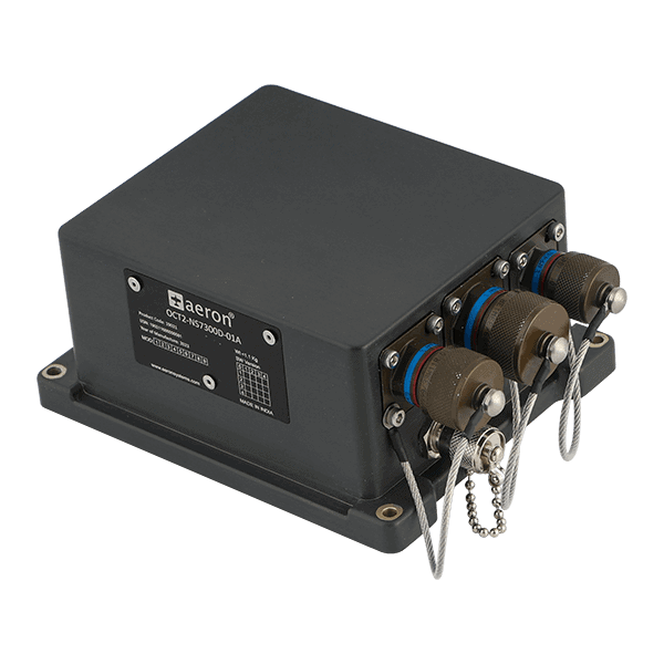
Aeron Systems' Octantis 2 GNSS-aided INS is a field-proven MEMS-based inertial navigation system that outputs reliable position and navigation information even under intermittent GNSS conditions. The RTK-capable sensor supports centimeter-level RTK positioning, and features an integrated multi-constellation and triple-frequency GNSS receiver.
The rugged sensor is compliant with MIL-STD-810G, JSS-55555, MIL-STD-704D, MIL-STD-461F, MIL-STD-2164 and MIL-STD-1275E. It offers a wide range of interfaces and protocols, including binary and NMEA over Ethernet, CAN, and serial RS-422/RS-232. It can accept external odometer aiding data and air data via CAN, and is ideal for armored vehicle navigation and dead reckoning, as well as platform orientation and stabilization.
Specifications:
| Dimensions (L x W x H): | 142 x 115 x 65 mm |
| Weight: | <1.1kg |
| Power Consumption: | <7W |
| Accelerometer Range: | ±16 g |
| Gyro Range: | ±450 o/s |
| Magnetometer Range: | ±8 gauss |
| Roll Range: | ±180o |
| Pitch Range: | ±90o |
| Roll & Pitch Accuracy: | 0.06o RMS static, 0.1o RMS dynamic |
| Heading Range: | ±180o |
| Heading Accuracy: |
<0.3o RMS with GNSS <0.5o RMS with magnetometer |
| Position Accuracy: |
Horizontal: <0.8cm with RTK, 1.5m CEP with GNSS, 1m CEP with SBAS Vertical: <2cm with RTK, 5m CEP with GNSS, 3m CEP with SBAS |
| Velocity Accuracy: | 0.05 m/s RMS with GNSS |
| GNSS: | GPS L1C/A, GLONASS L1OF, Galileo E1B/C, BeiDou B1I, QZSS L1C/A L1S L5, SBAS L1C/A, GPS L2C, GLONASS L2OF, Galileo E5b, IRNSS/NAVIC |


