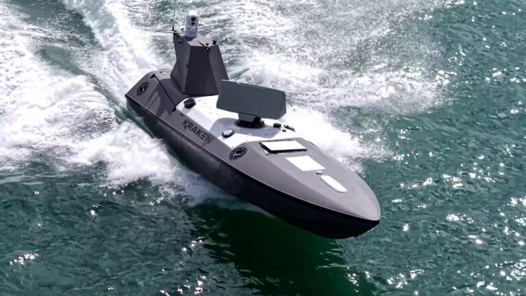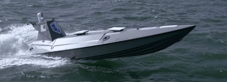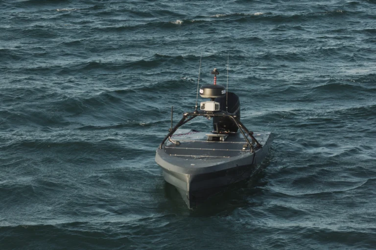


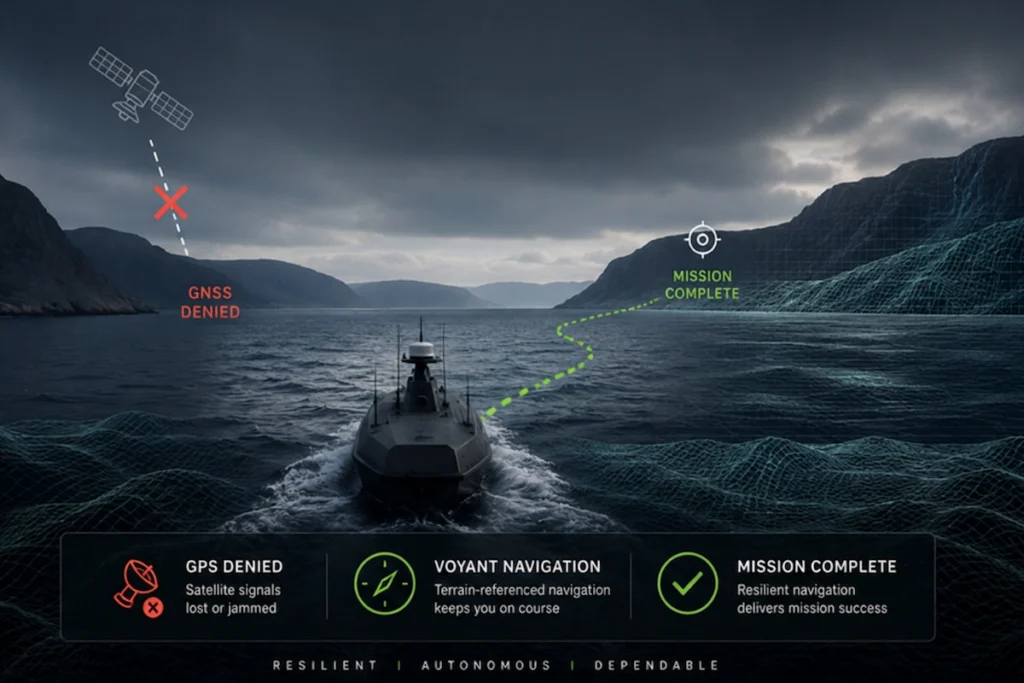
ASV Uses Radar & Terrain Mapping for GNSS-Denied Navigation
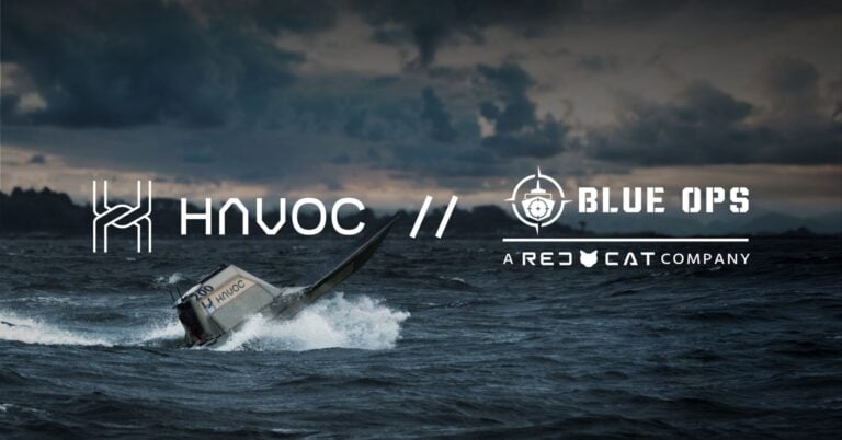
Live trials aboard an autonomous surface vessel proved that Voyant's advanced software comparing radar imagery with terrain maps maintains reliable positioning across contested maritime operating environments where satellite signals are denied