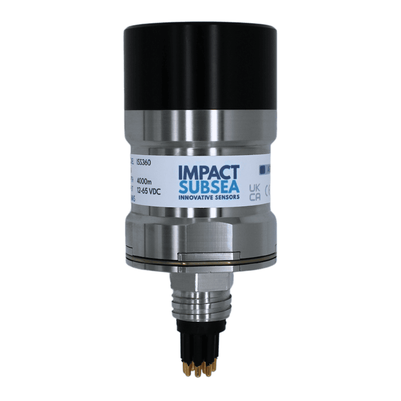
Underwater navigation systems combine inertial, acoustic, velocity, depth, and heading sensors to provide positioning and motion data when GNSS is unavailable below the surface. These systems are used across submarines, AUVs, UUVs, ROVs, diver systems, and payload delivery platforms.
This page showcases suppliers of underwater navigation systems including INS, DVL, acoustic positioning, compasses, altimeters, and sonar-based navigation for naval applications.
If you design, build or supply Underwater Navigation Systems, create a profile to showcase your capabilities and connect with visitors who have an active requirement for your solutions.
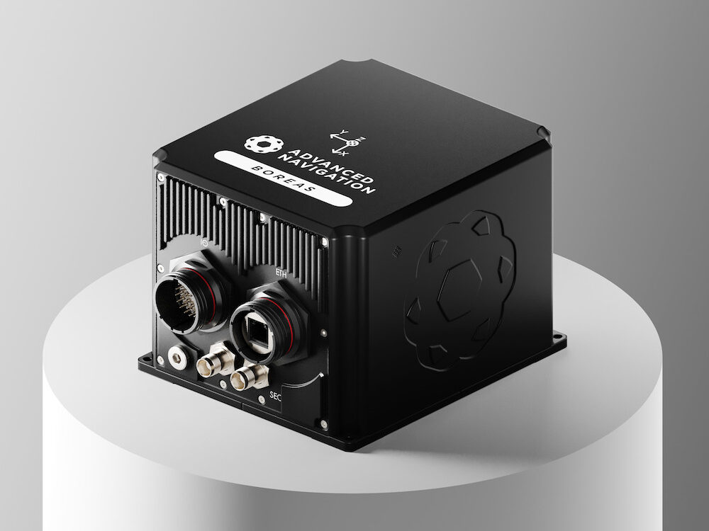
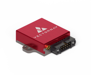
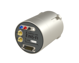
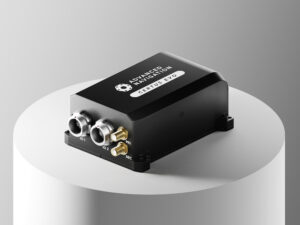
LEO-aided inertial navigation system for A-PNT in D3SOE operations
LEO-aided inertial navigation system for A-PNT in D3SOE operations
...aided Inertial NavigationSystem (INS) engineered for reliable performance across land, sea, and air... ...ous and secure navigation and timing data without reliance on GNSS. The device includes an embedded...
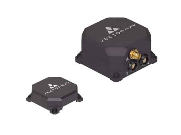
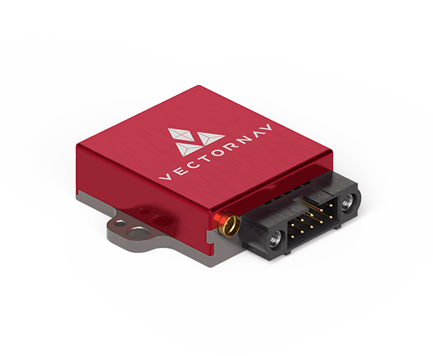
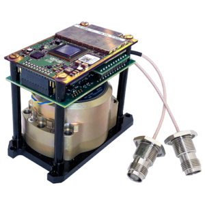
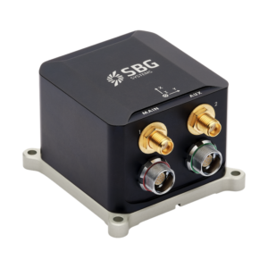
OEM dual-antenna GNSS-INS with Honeywell HG4930 IMU
OEM dual-antenna GNSS-INS with Honeywell HG4930 IMU
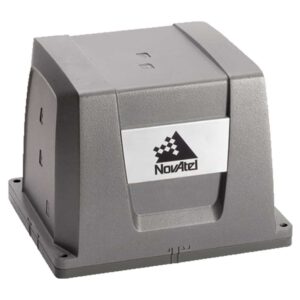
...Aided Inertial NavigationSystem (INS-DH-OEM) is an OEM version of the new generation of dual GNSS... ... MEMS inertial navigationsystem in an OEM form factor, featuring an advanced NovAtel dual-antenna...
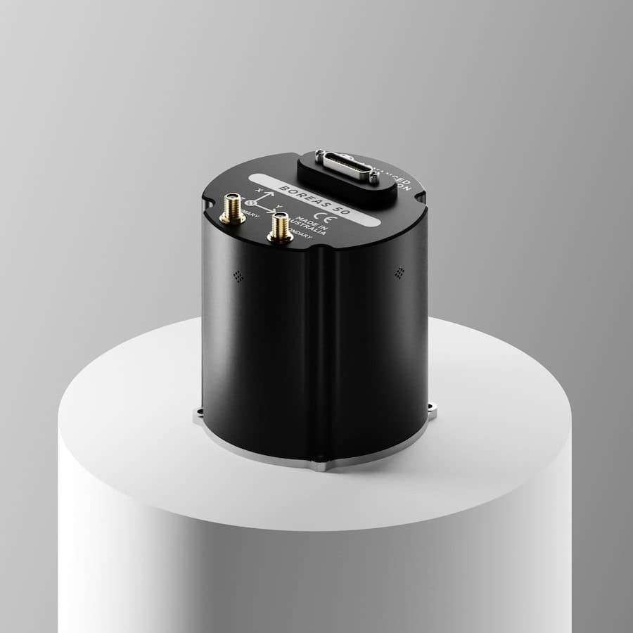
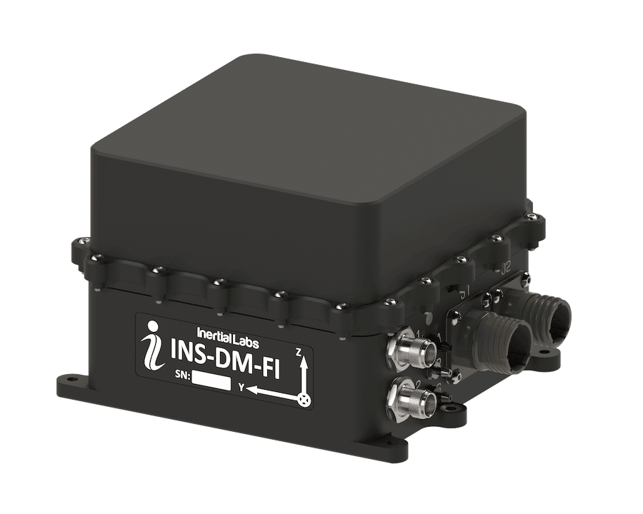
FOG AHRS & INS for GPS-denied navigation & resilient heading
FOG AHRS & INS for GPS-denied navigation & resilient heading
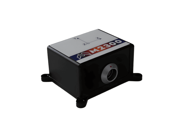
...ding Reference System (AHRS) and Inertial NavigationSystem (INS) engineered for military... ...as 50 supports navigation in GNSS-denied or degraded scenarios and provides sensor outputs suitable...
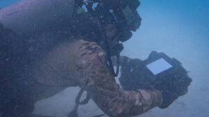
Diver navigation & autonomy platform for combat operations
Diver navigation & autonomy platform for combat operations
...to operate the system, reroute navigation, or monitor mission progress and system status. An... ...-the-art diver navigation platform developed by Greensea IQ in partnership with STIDD Military....
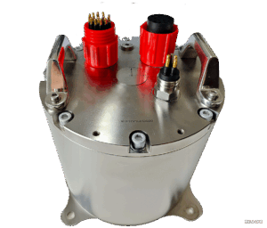
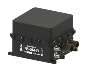
Marine inertial navigation system (INS) & global positioning system (GPS)
Marine inertial navigation system (INS) & global positioning system (GPS)
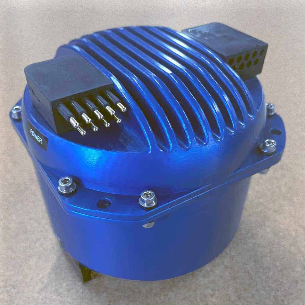
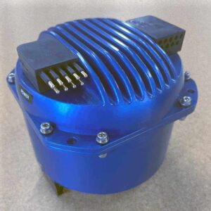
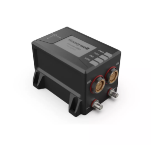
...dable maritime navigation, TALIN marine INS integrates both inertial navigationsystem (INS) and... ...arine Inertial NavigationSystem (MINS) is a highly accurate and shock-stabilized inertial...
Combines with SPAN GNSS+INS technology providing 3D position, velocity and attitude
Combines with SPAN GNSS+INS technology providing 3D position, velocity and attitude
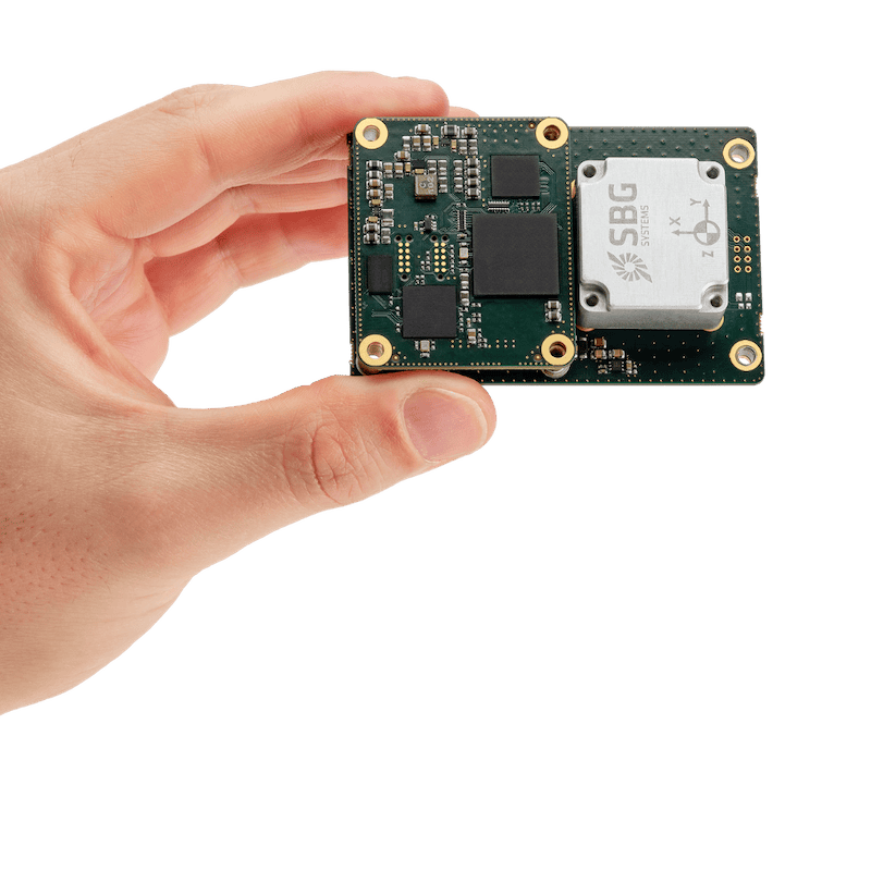
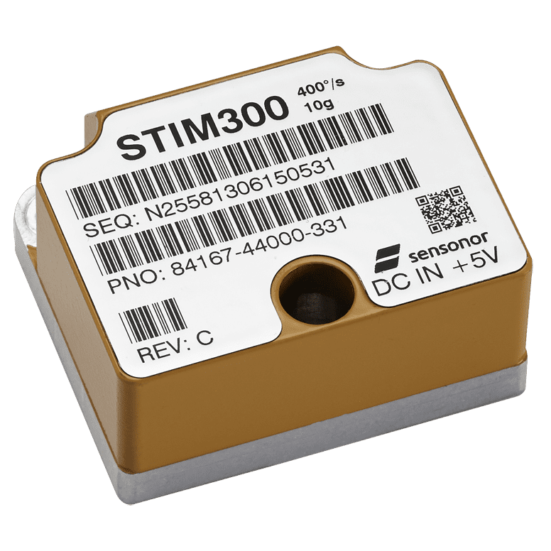
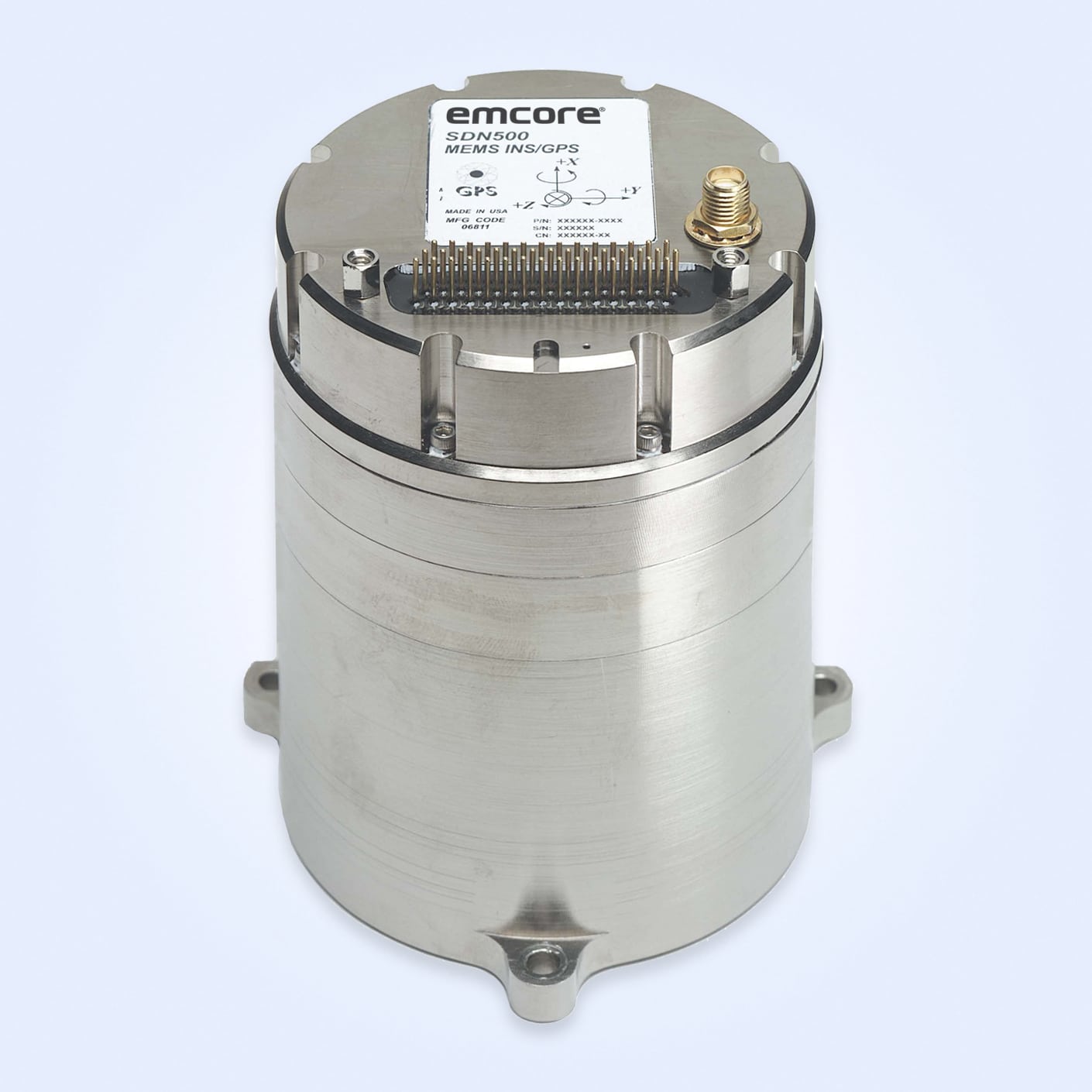
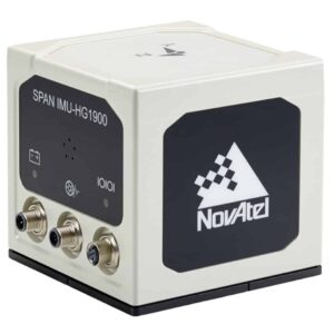
......actical grade Mems IMU enclosure for commercial and military guidance and navigation... ...ctromechanical Systems (MEMs) Gyros and RBA accelerometers. Our Synchronous Position, Attitude and...
Commercial MEMS IMU combines with SPAN GNSS+INS technology to deliver 3D position and velocity
Commercial MEMS IMU combines with SPAN GNSS+INS technology to deliver 3D position and velocity
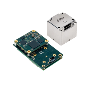
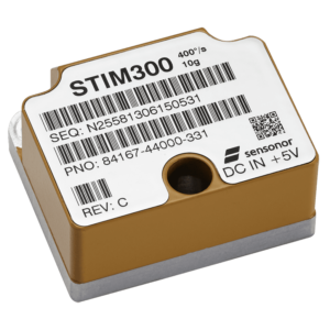
...logies: Global Navigation Satellite System (GNSS) positioning and Inertial NavigationSystems (INS).... ...ctromechanical System (MEMS) Inertial Measurement Unit (IMU) from Sensonor. It features low noise...
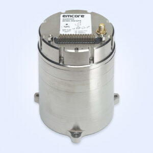
High-accuracy inertial navigation system for airborne, maritime and land platforms
High-accuracy inertial navigation system for airborne, maritime and land platforms
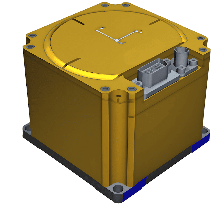
...dised inertial navigation unit built around a closed-loop fibre-optic gyroscope and high-precision... ... accelerometer system achieving accelerometer bias stability of ~10 µg....
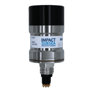
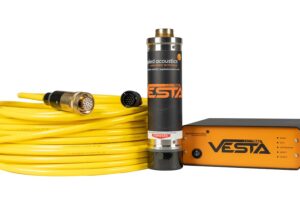
Precision subsea altimeter with optional echosounder & AHRS integration
Precision subsea altimeter with optional echosounder & AHRS integration
... high-accuracy underwater altimetry and optional echosounding, tailored for complex subsea defense... ...ding Reference System) provides highly stable pitch, roll, and magnetic heading data using a...
...Tactical Grade System, engineered for high-quality performance in demanding military applications.... ...nsures precise navigation and control for aerial operations in diverse environments and combat...
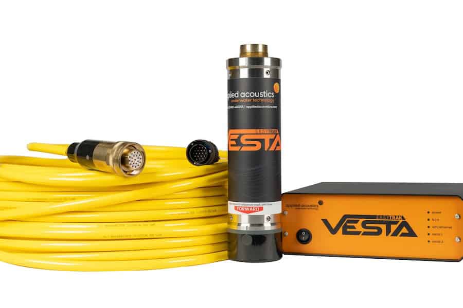
USBL tracking, dynamic positioning & subsea telemetry system
USBL tracking, dynamic positioning & subsea telemetry system
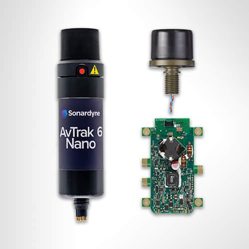
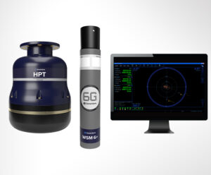
...is a versatile underwater positioning, tracking, and telemetry system developed for subsea survey,... ...aided inertial navigation, autonomous vehicle command and control, and coordinated multi-vehicle...
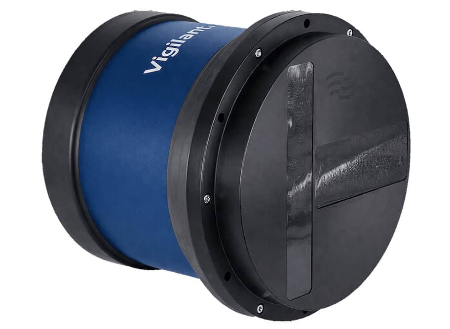
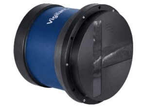
...nd-and-control systems. Vigilant FLS supports autonomous navigation and reactive manoeuvring through... ...ng Sonar (FLS) system developed for crewed and uncrewed surface and subsurface platforms operating...
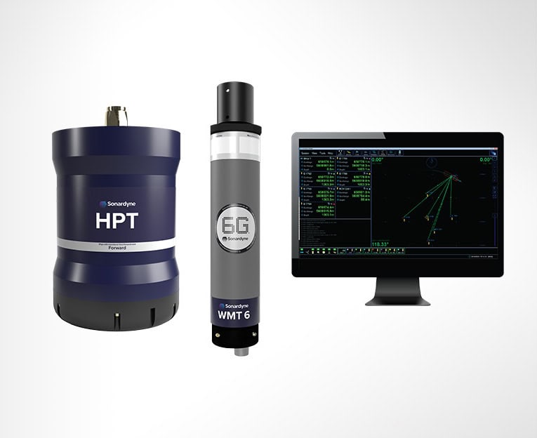
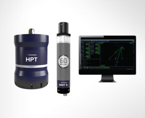
USBL tracking, positioning & underwater communications system for marine robotics
USBL tracking, positioning & underwater communications system for marine robotics
...L is a compact underwater tracking, positioning, and communications system developed for offshore... ...echnology, the system delivers reliable positioning and telemetry performance even in challenging...
The Complete Guide to Underwater Navigation Systems for Naval Operations
Overview by
William Mackenzie
Updated:
Introduction to Underwater Navigation Systems
Underwater navigation systems enable submarines, Unmanned Underwater Vehicles (UUVs), divers, and other subsea platforms to determine motion, orientation, depth, and position when satellite navigation is unavailable. Unlike surface navigation, subsea navigation must operate without continuous Global Navigation Satellite System (GNSS) reception and therefore combines inertial, acoustic, velocity, depth, and heading sensors.
A modern underwater navigation system depends on sensor integration rather than a single navigation device. Mission duration, accuracy, vehicle size, operating depth, seabed clearance, acoustic conditions, and available navigation aids all influence the architecture. Conventional GNSS signals cannot provide a continuous submerged fix, so underwater GPS navigation generally requires surfacing, an exposed antenna or buoy, or another method of transferring externally derived position information to the subsea platform.
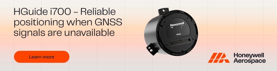
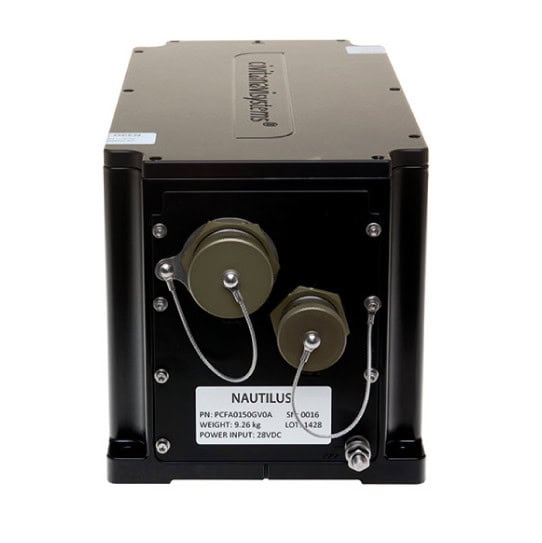
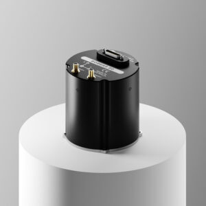
TALIN Marine Inertial Navigation System by Honeywell Aerospace
Core Technologies Used for Underwater Navigation
Inertial Navigation Systems and Inertial Sensors
Underwater inertial navigation uses gyroscopes and accelerometers to estimate attitude, velocity, and movement from a known starting point. These sensors are commonly packaged in an Inertial Measurement Unit (IMU), while an Inertial Navigation System (INS) adds navigation computation and error estimation. Attitude and Heading Reference Systems (AHRS) can provide orientation data for smaller platforms or form part of a wider subsea navigation system. Because biases, alignment errors, and sensor noise accumulate with time, INS performance is normally improved with other navigation aids.
Doppler Velocity Logs
Doppler Velocity Logs (DVLs) measure vehicle velocity acoustically, usually relative to the seabed when bottom lock is available. DVL data can be fused with INS measurements to limit dead-reckoning error, making INS/DVL integration a common basis for AUV navigation. Bottom lock depends on altitude and seabed return. Water-track measurements can provide an alternative when bottom tracking is unavailable, although the measured velocity is then relative to the surrounding water.
Acoustic Navigation Aiding
Acoustic navigation provides external measurements that can correct or constrain an onboard navigation solution. Long Baseline (LBL), Short Baseline (SBL), and Ultra-Short Baseline (USBL) systems use acoustic measurements between a vehicle and known references, while transponders and beacons can provide additional fixes. These acoustic underwater navigation techniques help control inertial drift but may require deployed infrastructure, a surface vessel, or external equipment. Sound-speed variation, multipath, range, and reference geometry can affect accuracy.
Pressure and Depth Sensors
Pressure sensors provide depth information for vertical control, mission planning, and sensor fusion. They are fundamental underwater navigation sensors because they constrain the vertical component of the navigation solution. Water density and atmospheric conditions can affect pressure-to-depth conversion.
Magnetic Compasses and Heading Sensors
Magnetic compasses provide heading without requiring an external acoustic or satellite reference. They are used in diver navigation systems, compact underwater navigation devices, and some vehicle architectures, although platform-generated or local magnetic disturbances can affect accuracy. Compass-based underwater navigation techniques therefore depend on suitable calibration, installation, and compensation.
Altimeters and Echo Sounders
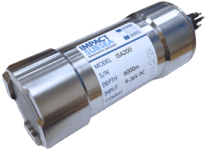
Altimeters and echo sounders measure distance to the seabed or another surface using acoustic energy. Their measurements support altitude control, obstacle clearance, bottom following, and terrain-referenced navigation. On an AUV navigation system, altitude data can also indicate whether a DVL is likely to maintain bottom lock.
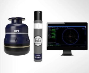
Mini-Ranger 2 USBL for acoustic positioning by Forcys
Integrated Navigation and Sensor Fusion
Integrated navigation combines INS, DVL, pressure, heading, acoustic, and other measurements into a consistent estimate of vehicle state. Filtering methods such as Kalman filters account for sensor uncertainty and correct the solution when aiding data becomes available. Robust systems also monitor measurement quality when sensors are degraded or unavailable.
Terrain-Aided and Sonar-Aided Navigation
Terrain-aided navigation compares measured seabed characteristics with stored bathymetric or environmental information to constrain navigation error. Sonar can also identify features that provide relative references when external acoustic infrastructure is unavailable. Sonar-based Simultaneous Localization and Mapping (SLAM) can also support positioning. Optical feature tracking can provide relative motion in suitable visibility. These approaches are relevant to long-endurance autonomous underwater vehicle navigation and missions requiring reduced dependence on external aids.
Applications of Underwater Navigation Systems Across Defense Platforms
Autonomous and Unmanned Underwater Vehicles
Autonomous Underwater Vehicles (AUVs) and Remotely Operated Vehicles (ROVs) use subsea navigation systems to follow routes, hold position, conduct surveys, approach targets, and coordinate sensor or payload operations. Autonomous platforms require onboard navigation that can continue without continuous operator input, while subsea ROV navigation may use acoustic references and information from a surface vessel. Sensor selection depends on autonomy, tethering, endurance, and mission geometry.
Submarine Navigation and Manned Submersibles
A submarine navigation system must support accurate submerged operation while limiting dependence on surfacing for external fixes. High-performance inertial navigation, depth sensing, velocity aiding, and independent references can be combined to maintain the solution. Manned submersibles apply similar principles, with underwater navigation equipment selected for their depth, endurance, and mission profile.
Diver Navigation Systems and Swimmer Delivery Vehicles
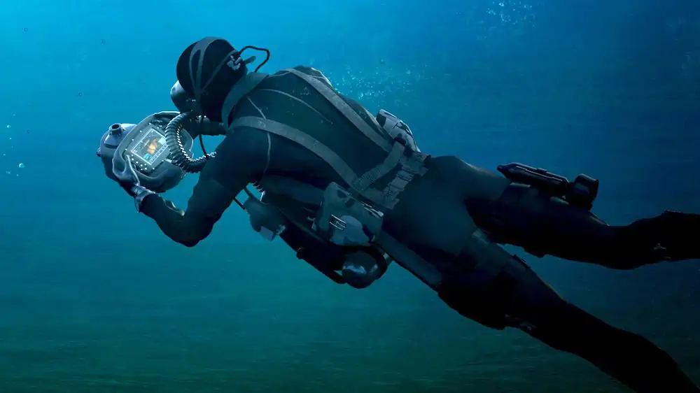
A diver navigation system may combine a compass, depth sensor, timing information, digital display, and acoustic or inertial aids to support movement between underwater waypoints. Swimmer delivery vehicles can add vehicle-grade sensors and navigation computers for longer missions. Military diver navigation places particular emphasis on low Size, Weight, and Power (SWaP), and operational simplicity.
Underwater Weapon and Payload Delivery Systems
Underwater weapon and payload delivery systems require navigation data for guidance, route execution, release timing, and terminal approach. The sensor architecture may combine inertial navigation with velocity, depth, acoustic, or terrain-based aiding. Defense applications also require resilience when external navigation updates are intermittent or unavailable.
Defense underwater navigation equipment may require qualification against environmental, electromagnetic, mechanical, and platform-specific requirements. Relevant considerations include:
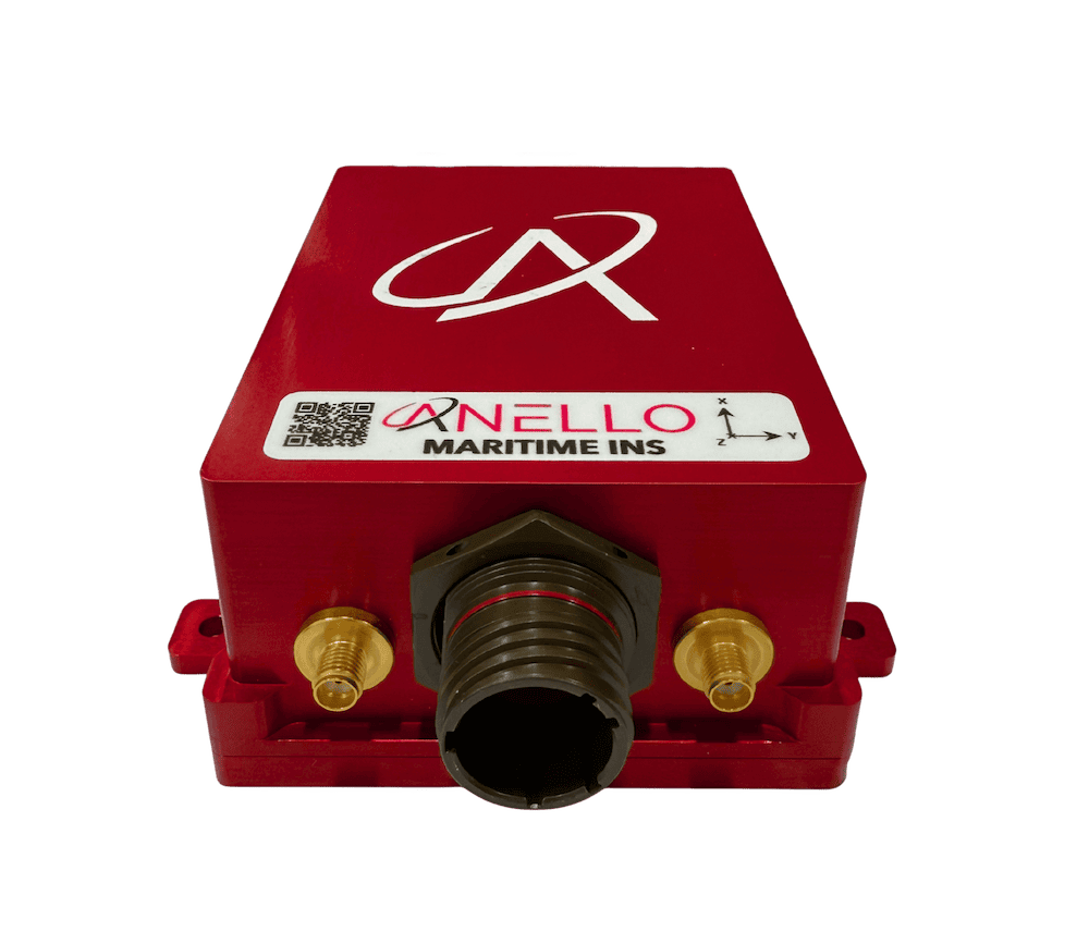
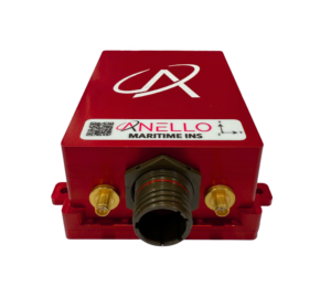
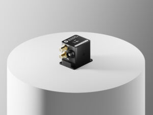
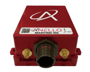
ANELLO Maritime INS for underwater navigation by ANELLO Photonics
MIL-STD-810 environmental testing: Environmental tests should be tailored to the stresses and service conditions applicable to the equipment rather than treated as a universal fixed sequence.
MIL-STD-461 electromagnetic compatibility: Equipment-level emissions and susceptibility requirements may apply to electronic subsystems integrated into military platforms.
Hydrostatic pressure and depth qualification: Housings, sensors, connectors, and penetrations must be verified for the intended operating depth and pressure cycles.
Shock and vibration resistance: Navigation electronics and sensors must tolerate mechanical loads associated with deployment and platform operation.
Temperature and corrosion resistance: Materials and assemblies should withstand expected storage conditions, seawater exposure, and marine corrosion.
Saltwater ingress protection: Enclosures and seals must protect sensitive electronics during sustained subsea use. Pressure integrity requires separate verification.
Connector and pressure-hull penetration requirements: Interfaces must preserve pressure integrity while maintaining reliable signal transfer.
Cybersecurity and secure system integration: Digital interfaces and navigation data paths should meet host-platform security and data integrity requirements.
Platform-specific qualification and acceptance testing: Verification should reflect the vehicle, installation, mission profile, and procurement requirements.
Qualification is therefore part of overall system engineering rather than simply a property of an individual underwater navigation tool.
Emerging Trends in Subsea Navigation Systems
Development is focused on reducing drift, increasing autonomy, and maintaining useful navigation with fewer external references. Important areas include:
AI-assisted navigation and sensor fusion: Artificial Intelligence (AI) and machine-learning methods are being investigated for sensor error modeling, anomaly handling, and maintaining estimates when measurements such as DVL velocity become unavailable.
Cooperative and swarm navigation: Underwater vehicles can exchange navigation information to support coordinated operations and reduce reliance on identical sensor suites across every platform.
Terrain-aided and geophysical navigation: Bathymetric, magnetic, gravity, and other environmental references can help constrain accumulated drift during infrastructure-free operations.
Improved low-SWaP inertial sensors: Lower size, weight, and power requirements can extend capable inertial navigation to smaller AUVs, ROVs, diver systems, and distributed platforms.
Navigation for persistent autonomous operations: Long-duration systems require fault-tolerant sensor fusion and adaptive aiding across changing depth, seabed, and acoustic conditions.
These developments are moving underwater navigation toward more adaptive, integrated, and autonomous subsea navigation systems.
Silicon Sensing’s MEMS gyroscope powers a compact north-finding navigation system from Kongsberg Discovery, designed for drones, subsea vehicles, and applications requiring reliable navigation without external aiding
Vatn Systems’ INStinct navigation system integrates ANELLO Photonics’ X3 IMU to enable precise, resilient, and cost-efficient positioning for autonomous maritime platforms operating in GPS-denied environments
Collins Aerospace’s Military Underwater Navigation System is a handheld navigation tool that uses military-grade GPS to aid underwater search and rescue operations
The latest defense technology news, straight to your inbox.
Get our weekly roundup of technology developments, new products and industry news.
THANK YOU FOR SIGNING UP
Thanks for joining us. Check your inbox.
We've sent you an email. Click the confirmation link to complete your subscription to the weekly eBrief. In the meantime, explore the latest news, suppliers and technologies on DA.
Advancing Defense Capability Through Strategic Collaboration
Defense Advancement works with major OEMs to foster collaboration and increase engagement with SMEs, to accelerate innovation and drive defense capabilities forward.