Inertial Systems – IMUs, INS, AHRS
Inertial systems use the outputs from accelerometers and gyroscopes, and sometimes magnetometers, to measure the motion and orientation of objects that they are attached to on one, two or three axes. These outputs can then be used for a variety of tactical and defense applications, such as position tracking and navigation.
Rugged IMUs
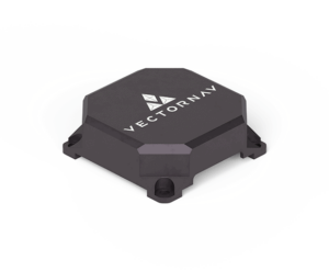
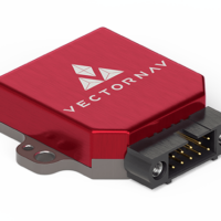
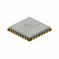
VN-110E Embedded Tactical IMU AHRS by VectorNav
Inertial Measurement Units (IMUs) output acceleration and angular rate data from accelerometers and gyroscopes for up to three axes. A three-axis IMU will have one of each sensor on each axis, mounted at right angles to each other, to create a complete three-dimensional measurement solution.
Mil-Spec Inertial Sensors
The sensors that make up IMUs are usually manufactured using one of a number of technologies, including Silicon MEMS (Micro-Electro-Mechanical Systems), Quartz MEMS, FOG (Fiber Optic Gyro), and RLG (Ring Laser Gyro).
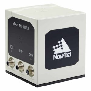
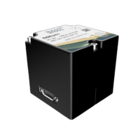
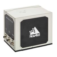
IMU-LN200 Tactical Grade FOG by NovAtel
The raw outputs from IMUs typically need further processing to provide useful information such as velocity and attitude. IMUs for defense applications are used for stabilization and control applications such as aircraft flight surfaces, antenna and weapons platforms, and camera and sensor gimbals.
Attitude and Heading Reference Systems
Attitude and heading reference systems (AHRS) combine an IMU with an integrated computing capability that uses fusion algorithms such as Kalman filters to provide attitude (roll, pitch and yaw) and heading. AHRS are used by a variety of different military aircraft platforms.
Tactical-Grade INS
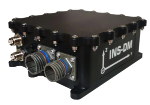
Inertial Labs INS-DM
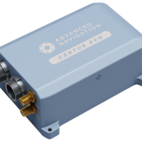
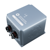
Inertial Navigation Systems (INS) also use the outputs from an IMU, providing position, velocity and orientation data that allows an aircraft or vehicle to navigate without the need for external references. Tactical-grade INS are used to provide high-accuracy inertial navigation for many different military aircraft, land vehicles and naval vessels, as well as rockets and missiles.
GPS-aided INS (GNSS INS)
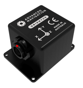
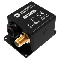
Orientus Rugged Cost-effective IMU by Advanced Navigation
Inertial navigation systems may be prone to sensor drift, meaning that small errors in measured acceleration may compound over time into large errors in the INS output. In order to mitigate the effects of drift and improve accuracy, INS may incorporate data from a GNSS (Global Satellite Navigation System) such as GPS. Conversely, an INS may be used to provide continuous navigational capabilities when GPS signals are unavailable.


