SAE Media | Counter UAS
Honeywell Aerospace | Better Cooling
International Armoured Vehicles
Leading Suppliers in United States of America

Tactical Mapping Drones Suppliers in United States of America

Discover United States of America-based suppliers of Tactical Mapping Drones

Suppliers: Tactical Mapping Drones

3 Leading Suppliers
Grid List
Filtered by:
Robinson Unmanned
Robinson Unmanned
USA (2 locations)

Compact UAS & Heavy-Lift Rotorcraft for Military ISR & Logistics Operations

ZenaDrone
ZenaDrone
USA (4 locations)

Autonomous UAV Platforms & Drone Services for Military, Government, Security & Emergency Response

Red Cat Holdings
Red Cat Holdings
USA (2 locations)

Advanced American-Made Drone Technologies for Aerial ISR (Intelligence, Surveillance & Reconnaissance)

Browse suppliers by country
Showcase your capabilities

If you design, build or supply Tactical Mapping Drones, create a profile to showcase your capabilities and connect with visitors who have an active requirement for your solutions.


Create Supplier Profile

Products

4 Cutting-edge Solutions
Add your solutions
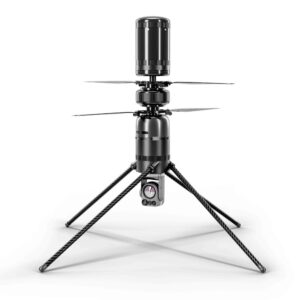
SPIRIT
SPIRIT

Small UAS for modular ISR & multi-mission defense operations

Small UAS for modular ISR & multi-mission defense operations
...RIT is a small tactical UAS engineered to support ISR, inspection, and sensing missions across...
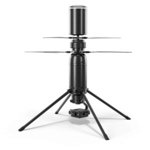
SPARTAN
SPARTAN

Coaxial Group 2 UAS for logistics & multi-mission defense operations

Coaxial Group 2 UAS for logistics & multi-mission defense operations
...ift logistics, mapping, and multi-role defense missions requiring dependable performance in...
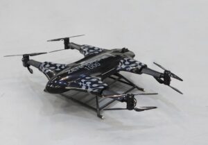
ZenaDrone 1000
ZenaDrone 1000

Advanced autonomous VTOL drone with AI-powered features & one-hour flight time

Advanced autonomous VTOL drone with AI-powered features & one-hour flight time
The ZenaDrone 1000 is a state-of-the-art drone platform that is designed to undertake a variety of...
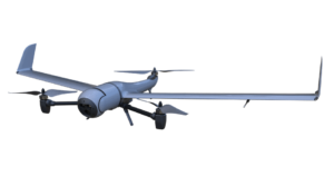
Edge 130
Edge 130

Lightweight VTOL UAS for extended reconnaissance & terrain mapping

Lightweight VTOL UAS for extended reconnaissance & terrain mapping
...ce and terrain mapping. Vertical launch and recovery eliminate the need for dedicated ground... ...nnaissance and mapping missions without tools. The Ocellus-2CP system combines mechanical and...

Related Articles

Teledyne FLIR Defense & Emesent Expand Payload Program for GPS-Denied Mapping

New integration of Hovermap LiDAR brings advanced 3D mapping and radiation detection to unmanned aerial and ground platforms in complex environments

May 12, 2026
FCC Moves to Restrict Foreign Drone Systems to Strengthen U.S. Airspace Security

Aiming to strengthen U.S. airspace sovereignty and mitigate national security risks, The Federal Communications Commission has expanded its Covered List to restrict future authorization of foreign-manufactured drones and components

Dec 31, 2025
NATO STANAG-Compliant UAVs Providing Air Land & Sea Operational Advantage

Defense Advancement showcases Beyond Vision's advanced Unmanned Aerial System (UAS) platforms for real-time intelligence and mission support

Nov 06, 2025
U.S.-Built Drone Technologies for Enhanced Aerial ISR Capabilities

Defense Advancement showcases Red Cat Holdings' American-made drone technologies for Aerial ISR (intelligence, surveillance and reconnaissance)

May 06, 2025
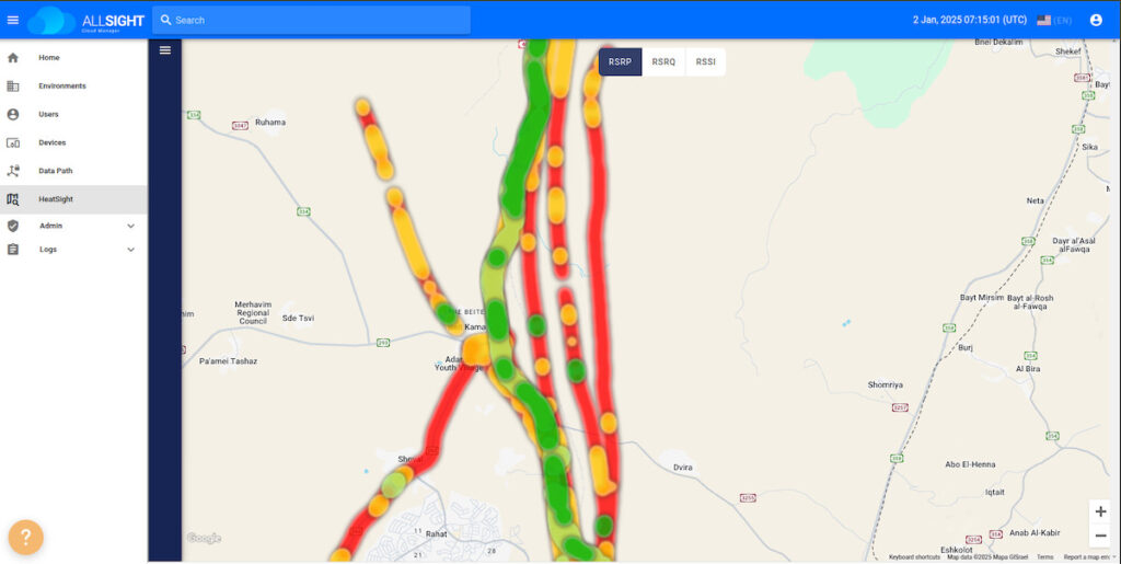
New Tool Maps Cellular Coverage for Tactical UAV Operations

Elsight is introducing HeatSight, a mapping tool based on the Halo platform, designed to provide detailed cellular coverage data, improve UAV mission planning, and ensure connectivity assurance

Jan 27, 2025
US Defense & Security Customers Opt for Tactical Mapping Drone Solution

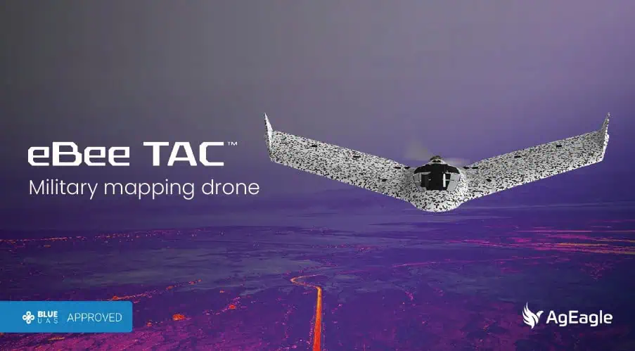
In total, 17 purchase orders have been made for AgEagle Aerial Systems' eBee TAC drones with robust tactical mapping capabilities

Nov 28, 2024
ARACHNID™ Family of Small ISR & Precision Strike Systems Introduced at AUSA

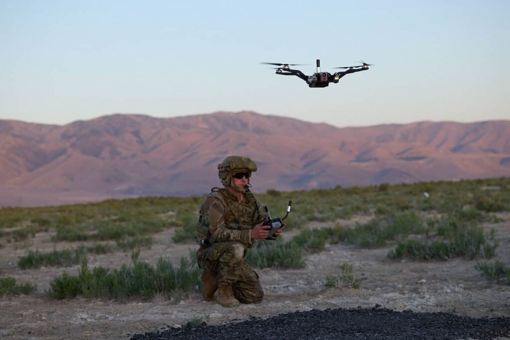
Red Cat Holdings has unveiled the new ARACHNID™ family of unmanned ISR and precision strike systems at AUSA, offering portable, low-cost ISR drones to support warfighters in short- and medium-range missions

Oct 15, 2024
New Drone Capabilities Improve Situational Awareness & Threat Detection for Soldiers

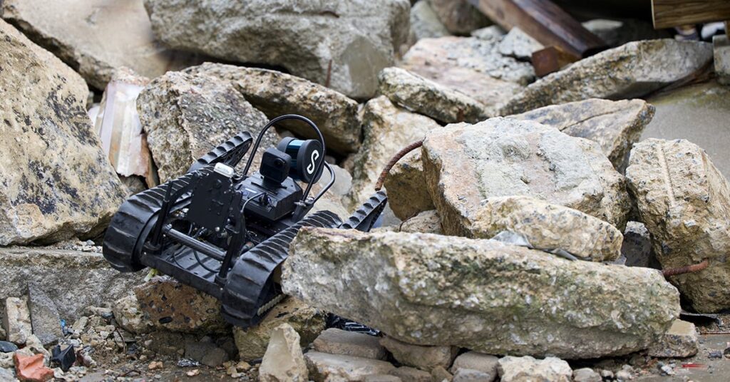
Draper has demonstrated advances to its mobile military platform that include an autonomy framework, a sensor-driven mapping algorithm and sensors to detect the presence of CBRN elements

Jul 12, 2023
Multi-Drone Mapping Demonstrated to US Army

Reveal Technology’s Farsight mapping software gives military teams virtually real-time access to detailed 3D maps of a target area

Aug 22, 2022

THE WEEKLY eBRIEF

The latest defense technology news, straight to your inbox.

Get our weekly roundup of technology developments, new products and industry news.

By subscribing, you agree to receive the weekly DA eBrief newsletter from EchoBlue Ltd. Unsubscribe at any time using the link in every email. See our Privacy Notice.

Advancing Defense Capability Through Strategic Collaboration Defense Advancement works with major OEMs to foster collaboration and increase engagement with SMEs, to accelerate innovation and drive defense capabilities forward.