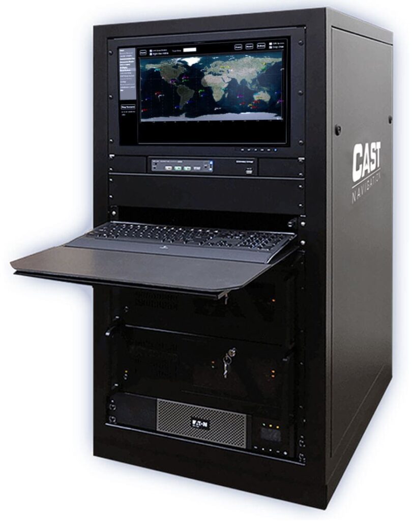
Military Positioning, Navigation and Timing (PNT) Systems
Positioning, Navigation, and Timing (PNT) systems are essential for modern military operations, providing real-time data for force tracking, command and control, weapon guidance, and secure communications. These systems ensure precise timing and spatial awareness in complex, dynamic, and often GPS-denied environments.
If you design, build or supply Position Navigation and Timing (PNT), create a profile to showcase your capabilities and connect with visitors who have an active requirement for your solutions.
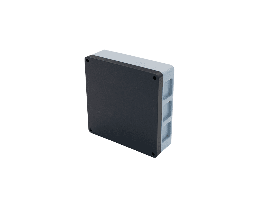
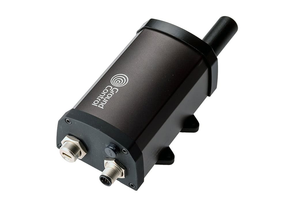
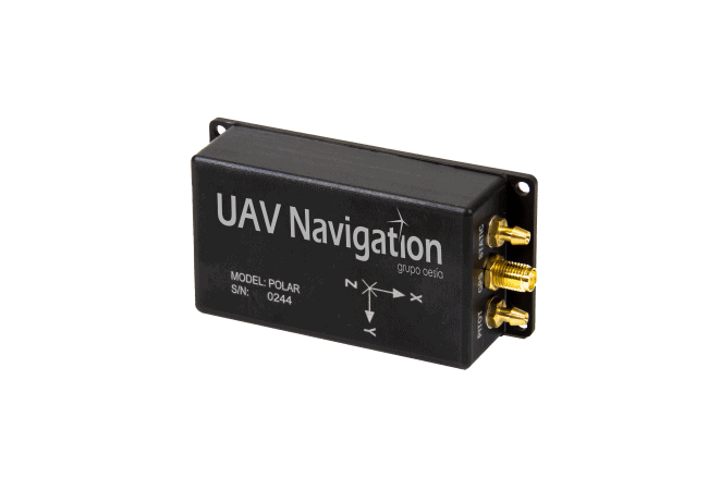
Laser velocity sensing for assured navigation in GNSS-denied operations
Laser velocity sensing for assured navigation in GNSS-denied operations
...ly to Advanced Navigation’s INS navigation filter, eliminating the scaling errors and slip effects... ......icle motion, capturing dynamics such as vibration and wheel slip that affect navigation accuracy....
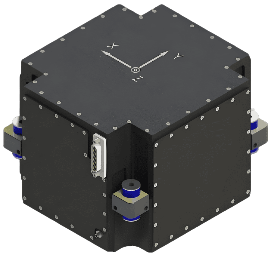
FOG AHRS & INS for GPS-denied navigation & resilient heading
FOG AHRS & INS for GPS-denied navigation & resilient heading
...) and Inertial Navigation System (INS) engineered for military navigation, guidance, and control. It... ...as 50 supports navigation in GNSS-denied or degraded scenarios and provides sensor outputs suitable...
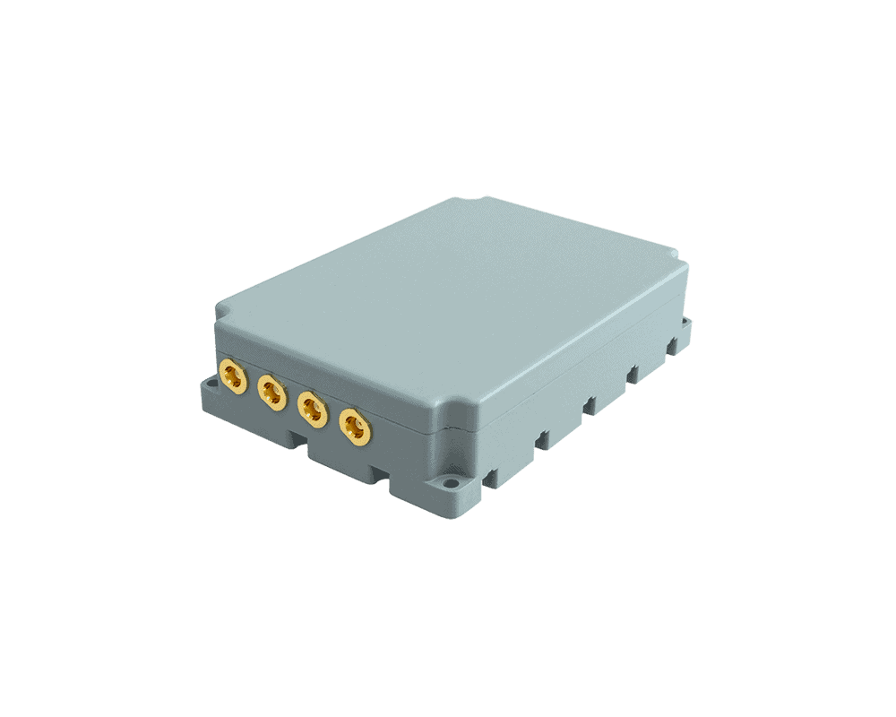
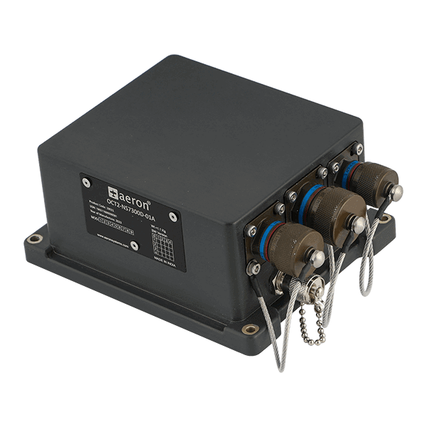
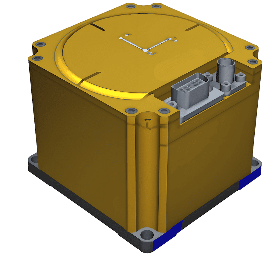
LEO-aided inertial navigation system for A-PNT in D3SOE operations
LEO-aided inertial navigation system for A-PNT in D3SOE operations
...ous and secure navigation and timing data without reliance on GNSS. The device includes an embedded... ...aided Inertial Navigation System (INS) engineered for reliable performance across land, sea, and air...
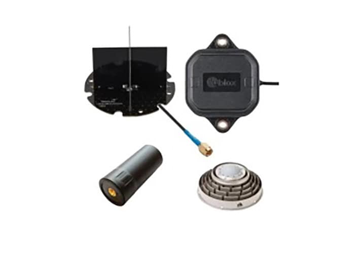
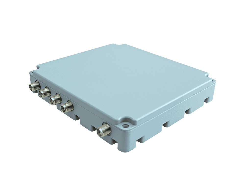
Advanced CRPA antenna system for A-PNT operations in GNSS-denied environments
Advanced CRPA antenna system for A-PNT operations in GNSS-denied environments
...d positioning,navigation, and timing(A-PNT) in electromagnetically contested environments.... ......ards, it is a mission-critical asset in modern electronic warfare and A-PNT resilience...
Complete GNCC platform designed for underwater EOD robots
Complete GNCC platform designed for underwater EOD robots
...ise real-world navigation for defense and EOD operations. Built on Greensea’s OPENSEA software... ...provides local navigation, command, and control directly on the vehicle, enabling stable operation...
Multi-tiered system for secure UAV navigation in GNSS-denied environments
Multi-tiered system for secure UAV navigation in GNSS-denied environments
...pace Resilient Navigation System is a low-SWaP solution that utilizes three different technologies... ......
The three layers of the Resilient Navigation System include:
..., networks and timing infrastructure can all benefit from the protection that GAJT gives. GAJT is a... ... receivers and navigation systems on existing and legacy military fleets....
High performance PNT protection for Naval and Marine Applications
High performance PNT protection for Naval and Marine Applications
...s positioning,navigation and timing(PNT) is necessary for safe operations in crowded waterways and... ......nclosure enabling assured PNT for continuous operations, cybersecurity and safe navigation at...
Precision navigation for military and commercial vehicles in GNSS-denied & contested environments
Precision navigation for military and commercial vehicles in GNSS-denied & contested environments
... is an assured navigation solution for military land vehicles that uses advanced Doppler LiDAR... ...ub-millisecond timing. It also achieves an exceptionally low probability of intercept and detection,...
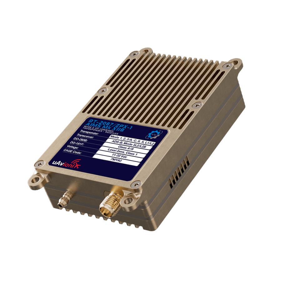
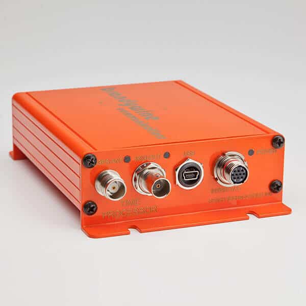
Flight-qualified airborne timecode processor for military timing synchronization
Flight-qualified airborne timecode processor for military timing synchronization
...mpact airborne timing solution engineered for precision synchronization in military and aerospace... ...acy and modern timing architectures. Ancillary programmable pulse outputs, event inputs, RS232 NMEA...
Military Positioning, Navigation and Timing (PNT) Systems
Overview by
Sarah Simpson
Updated:
Military PNT systems encompass various technologies that deliver location, movement, and synchronization capabilities for air, land, sea, space, and cyber operations. From inertial measurement units (IMUs) in UAVs to atomic clocks for synchronized operations, these technologies are central to mission assurance, operational security, and strategic advantage. With growing electronic warfare threats and reliance on satellite infrastructure, assured PNT (a‑PNT) solutions are increasingly vital for resilient and redundant capability across defense platforms.
What is PNT in Military & Defense Applications?
Positioning, Navigation, and Timing (PNT) refers to integrating technologies and systems that determine precise location, guide movement, and synchronize operations. In defense contexts, PNT enables everything from missile guidance and drone navigation to battlefield communications and asset tracking.
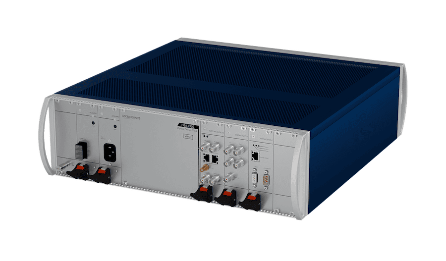
Grandmaster clock & GNSS receiver, OSA 5401 SyncPlug, from Oscilloquartz.
PNT systems are foundational to the success of modern military operations. From strategic command structures to tactical edge platforms, their use enables accurate movement, synchronized communication, and resilient coordination in complex environments. Below are key military applications where PNT plays a critical role:
Precision-Guided Munitions
Modern munitions, such as guided bombs, cruise missiles, and long-range artillery, rely on PNT systems for accurate targeting and midcourse navigation. Integration with GNSS and inertial guidance ensures that weapons reach their targets with minimal collateral impact, even under degraded conditions.
Unmanned and Autonomous Systems
UAVs, UGVs, USVs, and UUVs require continuous navigation and timing to execute autonomous missions. PNT enables waypoint navigation, obstacle avoidance, and coordinated formations, especially in communication-denied environments. Redundant PNT solutions are critical for autonomous mission assurance.
Command and Control Systems
Command and Control (C2) architectures depend on synchronized time and geospatial awareness across multi-domain platforms. Reliable PNT ensures that distributed units share a consistent operational picture, supporting real-time decision-making and coordinated force deployment.
ISR and Sensor Platforms
Intelligence, Surveillance, and Reconnaissance (ISR) platforms use PNT data to geo-reference imagery, signals, and sensor outputs. Accurate location tagging is critical for actionable intelligence, while timing ensures synchronization across remote sensor networks and satellite constellations.
Situational Awareness and Force Tracking
Operational centers and battlefield commanders use real-time PNT inputs to track friendly and adversary movements, enhancing situational awareness. Blue force tracking systems and digital mission command tools rely on continuous geolocation updates to maintain a common operational picture.
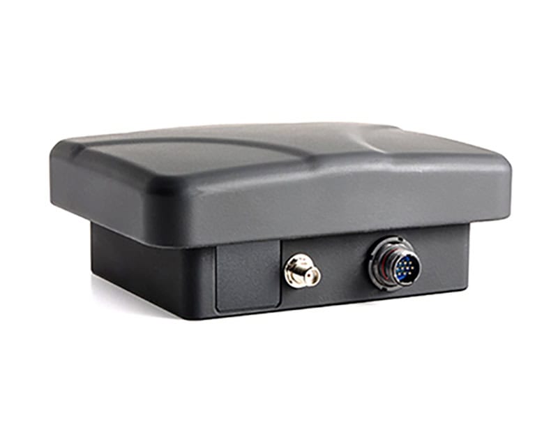
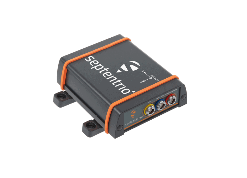
GNSS receiver, AsteRx SBi3 Pro+, by Septentrio.
Electronic Warfare and Signal Intelligence
PNT is essential for locating signal emitters, synchronizing jamming activities, and ensuring electromagnetic spectrum superiority. Direction finding, time difference of arrival (TDOA), and spectrum management tools all require accurate timing and spatial data for effectiveness.
Secure Military Communications
Timing synchronization is required for encrypted voice, video, and data transmission in tactical radio systems and satellite links. The mission is compromised without stable time references, secure communication protocols, and data integrity.
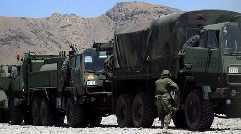
Tactical Mobility and Navigation
Ground forces use PNT data for tactical maneuvering, pathfinding, and resupply operations. Convoys, armored formations, and dismounted units rely on integrated GNSS/INS systems to navigate obstructed or denied terrains.
Airborne Navigation and Formation Flight
Military aircraft use high-accuracy PNT for route planning, mid-air refueling, formation coordination, and synchronized airstrike execution. PNT continuity is also vital for unmanned aviation operations in shared airspace.
Naval and Submarine Operations
Surface ships and submarines navigate across global theaters using GNSS, inertial systems, and dead-reckoning algorithms. In underwater environments, PNT continuity is maintained through inertial and bathymetric systems where GNSS is inaccessible.
Cybersecurity and Information Assurance
Secure authentication, log integrity, and cyber forensics in military networks rely on consistent timing sources. PNT data helps validate event sequences and prevent timing spoofing, which could compromise critical infrastructure.
Strategic and Nuclear Command and Control
Strategic deterrence systems, including ICBMs and NC3 networks, depend on ultra-reliable timing and location awareness. Atomic clock references ensure timing integrity across global command chains under contested or post-attack conditions.
Military Test and Evaluation (T&E)
Weapon systems, aircraft, and communication systems undergo validation in test ranges using PNT data for accuracy measurement, event sequencing, and safety enforcement. Timing modules are embedded in telemetry systems for synchronized data collection.
Training and Simulation Environments
Realistic virtual and live training environments use PNT to simulate dynamic threats, coordinate synthetic units, and log performance data. Integrated PNT supports both live-virtual-constructive (LVC) training and after-action review (AAR) capabilities.
PNT systems onboard satellites provide not only Earth-based services but also critical synchronization for space situational awareness, rendezvous, and defensive maneuvers. Space-based PNT is also integral to the resilience of terrestrial systems.
Types & Technologies in Military PNT Systems
Military PNT systems use layered, redundant architectures to ensure reliability in diverse operational scenarios. Key system types include:
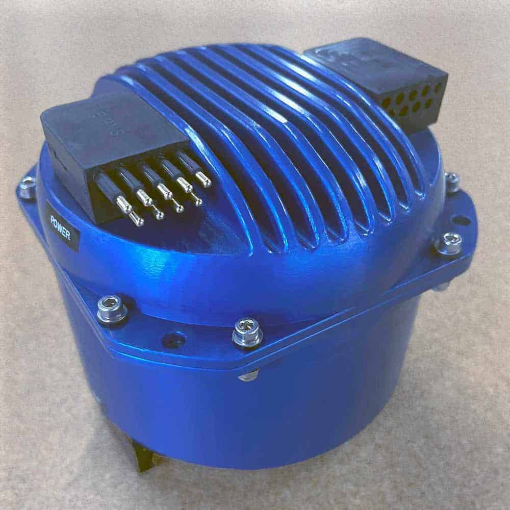
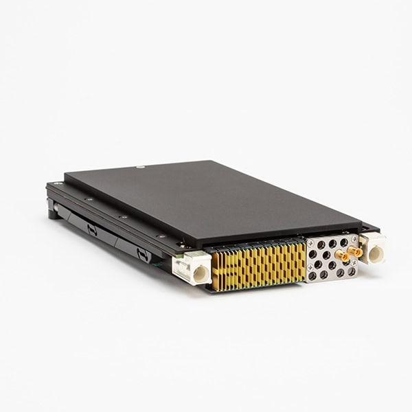
Inertial systems for positioning navigation and timing, PwrPak7D, from Hexagon | NovAtel.
GNSS-Based PNT
GNSS receivers provide satellite-based position and time data. Military variants include anti-spoofing, anti-jamming features, and encrypted signals (e.g., M-code GPS). GNSS systems are the foundational layer for most PNT solutions, but are vulnerable to denial or deception tactics.
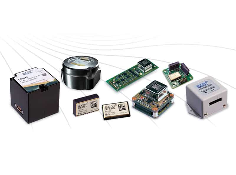
Inertial Navigation Systems (INS)
INS use gyroscopes and accelerometers, often integrated as Inertial Measurement Units (IMUs), to provide dead-reckoning navigation independent of external signals. These are crucial in GPS-denied environments, such as subterranean or contested urban operations.
Atomic Clocks and Timekeeping
Atomic clocks and timing modules deliver precise and stable time references for synchronized systems across platforms. Cesium, rubidium, and emerging quantum-based clocks form the basis of military atomic timekeeping.
Precision Time Protocol (PTP) Clocks
PTP clocks, based on the IEEE 1588 Precision Time Protocol standard, deliver sub-microsecond time synchronization across distributed systems. In military applications, PTP clocks synchronize tactical radios, secure communication systems, radar arrays, and sensor networks. Unlike GNSS-dependent clocks, PTP operates over Ethernet or packet-based networks, providing resilience against satellite signal loss.
PTP is increasingly incorporated into assured PNT (a-PNT) architectures, where redundant timing sources and network-based synchronization reduce reliance on vulnerable satellite links. By extending accurate time across land, air, sea, and cyber domains, PTP clocks play a central role in modern resilient timing strategies.
Software-Defined Radios (SDRs)
SDRs equipped with GNSS front ends and signal processors enhance PNT resilience by integrating RF-based localization, time transfer protocols, and encrypted satellite communications.
RF-Based and Alternative Navigation
Systems using signals of opportunity (SoOP), celestial navigation, and terrain-relative navigation (TRN) complement conventional PNT by offering non-GNSS-based localization. These are increasingly used in resilient PNT frameworks.
Integrated Navigation Systems
Integrated systems combine multiple PNT sources, GNSS, INS, and alternative methods through sensor fusion and navigation algorithms. These are deployed in military aircraft, naval platforms, and autonomous vehicles to maintain situational integrity across environments.
Assured PNT (a‑PNT) in Military Operations
Assured Positioning, Navigation, and Timing (a‑PNT) refers to delivering trusted, resilient, and continuous PNT services in environments where standard systems are compromised.
As GPS-denied and contested environments become more common, a‑PNT is critical for:
Maintaining mission effectiveness during GNSS outages or attacks
Ensuring survivability and functionality in electronic warfare conditions
Providing trusted time and position sources for multi-domain operations
a‑PNT systems typically incorporate:
Multi-sensor fusion with GPS, INS, vision systems, and RF localization
Anti-jamming/spoofing measures and signal validation algorithms
Redundant navigation paths, including terrestrial and space-based sources
Advanced timing modules for synchronization across platforms
Assured PNT is now a strategic imperative in U.S. and allied defense planning, driving innovation in satellite architecture, quantum PNT, and autonomous systems.
Comparisons and Integration Strategies
In modern defense architecture, PNT is not a standalone component but a layered, interoperable capability embedded across platforms. Comparison of system types includes:
System Type
Strengths
Limitations
GNSS-based
High accuracy; global coverage
Vulnerable to jamming/spoofing
Inertial Systems
Self-contained; signal-independent
Drift over time; needs calibration
Atomic Clocks
Ultra-precise time
Size, cost, and environmental sensitivity
SDR-Based PNT
Flexible; upgradable
Depends on processing and SW integrity
Integrated Systems
Redundancy; resilience
Complex; requires calibration & validation
Defense integrators must evaluate mission requirements, threat models, and platform constraints when selecting or designing PNT architectures.
SAASM and M-Code: Anti-spoofing modules for secure GNSS operations
DoD A-PNT Strategy: U.S. Department of Defense framework for resilient navigation and timing
Additional standards from NATO (e.g., STANAG) and international partners define interoperability and secure data exchange across coalition forces.
Global & Operational Relevance
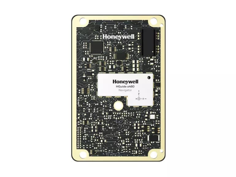
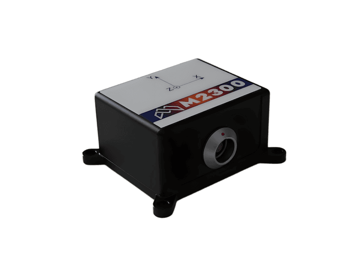
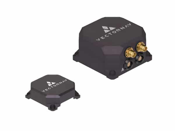
Inertial systems for military PNT, Certus Mini N & Mini D MEMS GNSS/INS, by Advanced Navigation.
While the U.S. military drives much of the innovation in assured PNT, allied and partner nations invest in sovereign and redundant navigation systems. European initiatives (e.g., Galileo PRS) and regional alternatives (e.g., QZSS, NavIC) reflect global interest in independent and secure PNT capabilities.
Operational scenarios where resilient PNT is essential include:
Amphibious and naval operations: Undersea navigation, denied satellite access
Urban combat zones: Signal occlusion and electronic interference
Cyber-contested space: Protection of C4ISR systems from data integrity breaches
Joint and coalition missions: Standardized, interoperable navigation frameworks
Future Trends & Emerging Technologies
Innovation in PNT for defense is advancing rapidly, with research and development focused on:
Quantum PNT: Quantum gyroscopes and clocks for ultra-resilient INS
AI-driven navigation algorithms: Predictive modeling and real-time optimization
Miniaturized atomic clocks: Enhanced deployment on small platforms and munitions
Mesh-network PNT: Collaborative localization in denied environments
These technologies aim to create a future-proof architecture for defense navigation and timing that is independent, autonomous, and secure by design.
A new electronic warfare protection system from Roke aims to redefine access to resilient satellite navigation by delivering high performance filtering capabilities in an affordable and compact package built to secure modern autonomous platforms
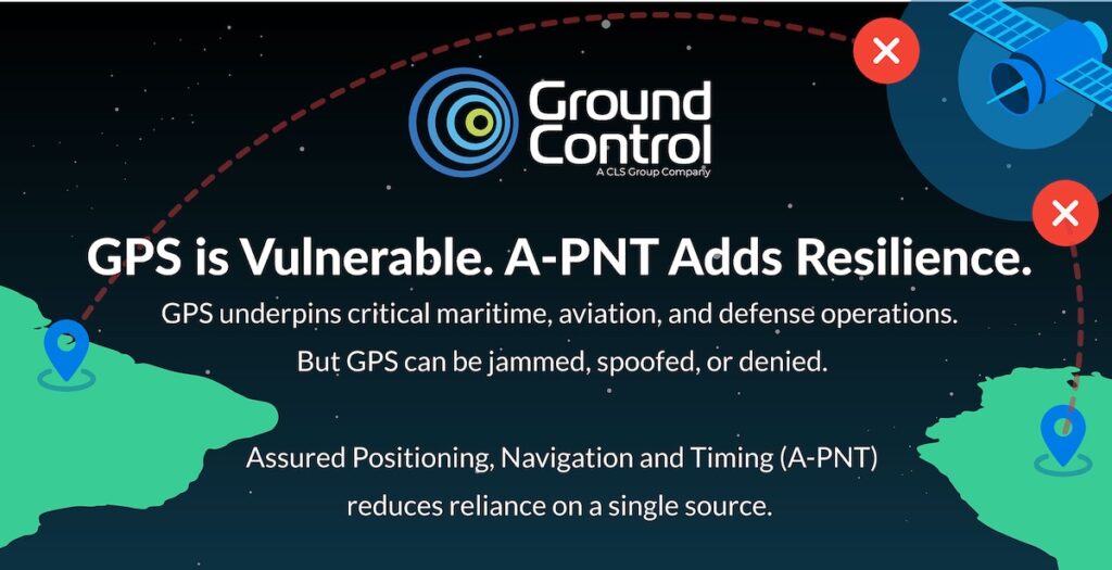
Ground Control is addressing rising GPS jamming and spoofing threats with resilient A-PNT capabilities designed to provide independent positioning, trusted timing, and operational continuity during GNSS disruption
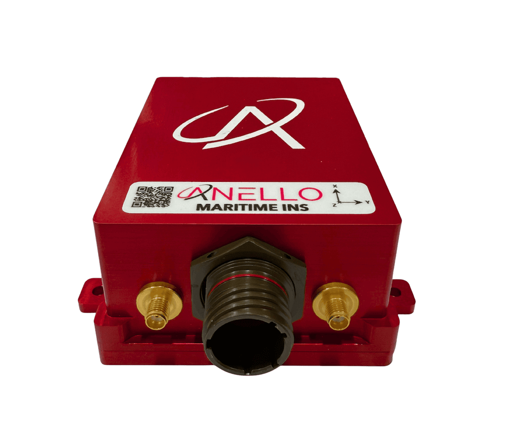
ANELLO Photonics outlines how its Maritime INS combines SiPhOG™ optical gyroscope technology, multi-sensor fusion, and real-time state estimation to support resilient maritime navigation during GPS jamming, spoofing, signal degradation, and GNSS-denied operations
ANELLO Photonics has raised $25 million in an oversubscribed Series B-2 funding round to scale production and deployment of its silicon photonics-based inertial navigation systems for GPS-denied and contested environments
ANELLO Photonics’ Maritime Inertial Navigation System has been selected by BlackSea Technologies for integration into an autonomous surface vessel, delivering assured, high-precision navigation in GNSS-denied and contested maritime environments
Oscilloquartz outlines how integrating STANAG and Have Quick time codes at the network edge supports assured synchronization beyond GNSS in contested defense and aerospace environments
Apr 23, 2026
Advancing Defense Capability Through Strategic Collaboration
Defense Advancement works with major OEMs to foster collaboration and increase engagement with SMEs, to accelerate innovation and drive defense capabilities forward.