Inertial Labs

Tactical Grade IMU, GPS/INS, Weapon Orientation Solutions

United States of America
Inertial Labs
Tactical Grade IMU, GPS/INS, Weapon Orientation Solutions
39959 Catoctin Ridge Street, Paeonian Springs, VA 20129 U.S.A. United States of America Regional offices
+17038804222

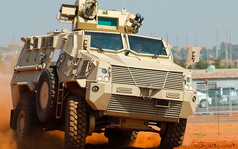
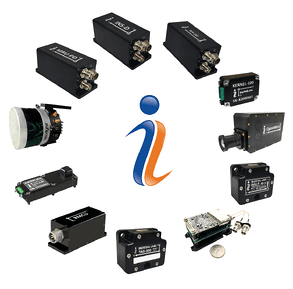
Inertial Labs is a global leader in the development of cutting-edge positioning, navigation, pointing, and platform stabilization solutions for military, defense and aerospace applications.

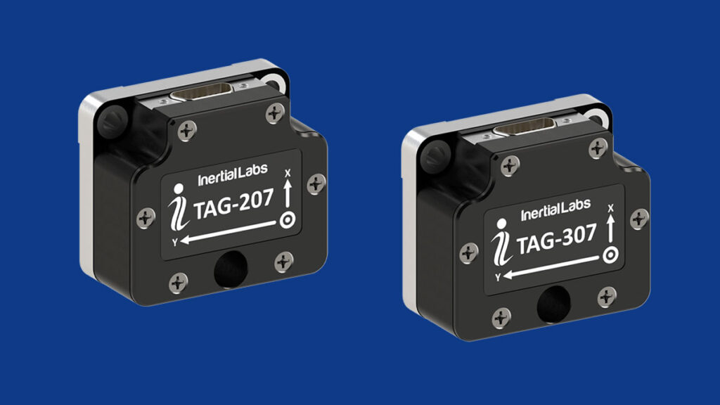
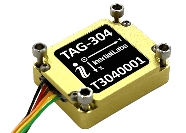
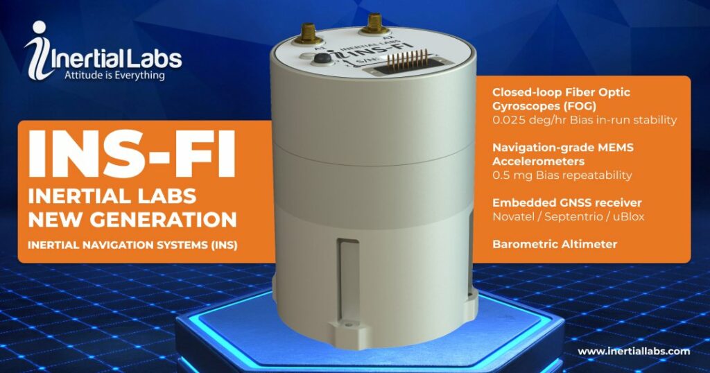
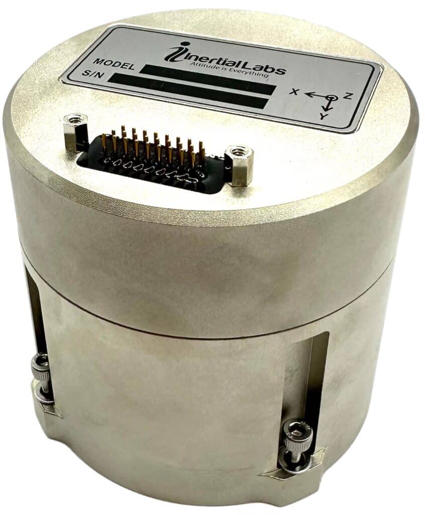
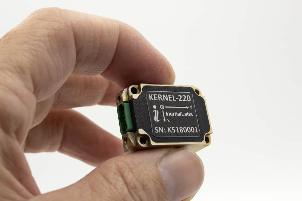
Our groundbreaking inertial sensing products which include; weapon orientation modules, three-axis gyroscopes, military grade IMUs, high-performance AHRS, and GNSS-aided INS, have been used to solve highly challenging problems in the air, on land and at sea, and can be customized to suit the most exacting of mission requirements.

Certifications

Inertial Labs and its manufacturing partners are certified to meet a wide range of electronics industry standards, enabling us to provide our clients with products of the highest quality.

Inertial LabsOur certifications include:

  • ISO 9001:2015 Certified
  • ISO 9001:2008 Certified
  • ISO 13485:2012 Certified
  • MIL-STD-I-454 Requirement 5 and 9
  • J-STD-001 (Class 1, 2 & 3)
  • IPC-A-610 (Class 1, 2 & 3)
  • IPC-A-620 (Class 1, 2 & 3)
  • IPC/WHMA-A-620 (Class 1, 2 & 3)
  • IPC 2221

Military Applications

Our cutting-edge solutions are used around the world for mission-critical use cases in all domains, including:

  • Aerial: precision navigation, stabilization, and pointing for manned and unmanned aircraft and their gimbals and payloads
  • Ground: critical navigation and attitude monitoring of land and armored vehicles even in GNSS-denied environments, as well as counter-UAS systems
  • Marine & Naval: dynamic position, heave, surge and sway data for vessels, marine and subsea platforms

Learn more about Inertial Labs >

Weapon Orientation Modules (WOM)

Our miniature WOM weapon orientation modules utilize three axes of gyroscopes, accelerometers, and magnetometers to provide precision tracking of both fast and slow movements. Ideal for a variety of weapons platforms from small arms to towed artillery, they can be calibrated easily in the field with minimal training.

Weapon Orientation ModulesThe OptoWOM-II module enhances tracking capabilities by combining inertial sensors with optical referencing, enabling the sensor to be mounted directly to a device and operated immediately without any magnetic calibration.

Applications include:

  • Weapon aiming systems
  • Remote Weapon Stations (RWS)
  • Stabilized fire control for daytime and nighttime operations

Inertial Labs demonstrates the operation and performance of its OptoWOM-II Weapon Aiming System:

TAG – Two and Three Axis Gyroscopes

Inertial Labs’ advanced two- and three-axis MEMS gyroscopes are designed to provide tactical-grade angular rate data for precision stabilization and pointing applications.

The high-performance, low-SWaP units are factory calibrated over the entire operational temperature range and precision machined to ensure very low non-orthogonality and misalignment between sensitive elements.
MEMS Gyroscopes for vehicle stabilization

Our expert engineering team can provide selection and configuration support for any application requirements. Applications include:

  • Remote Weapon Stations (RWS) stabilization
  • 2D and 3D optical image stabilization
  • Vehicle stabilization and anti-roll systems

Learn more: MEMS Gyroscopes

Three Axis Accelerometers (TAA)

Navigation-grade MEMS accelerometers for control & stabilization

Three Axis AccelerometerInertial Labs’ TAA (Three Axis Accelerometer) series provides high-precision navigation-grade linear acceleration data with low noise and excellent repeatability in both static and dynamic applications.

The self-contained devices are fully calibrated, temperature-compensated and mathematically aligned to an orthogonal coordinate system. With continuous built-in-test (BIT) capabilities and a flexible input power range of 4.8 to 36V, they can be easily integrated into a variety of systems.

The TAA series features ITAR-free and export-controlled models, with three measurement range options for each. Applications include:

  • UAV and autonomous vehicle navigation and control
  • Antenna and weapons platform pointing
  • Gimbal stabilization
  • Integration into AHRS and INS

Navigation Grade IMU – Inertial Measurement Units

Our military grade inertial measurement units  incorporate advanced three-axis MEMS gyroscopes and accelerometers, providing tactical-grade performance for a wide variety of military applications. All units are factory calibrated over the entire operational temperature range, ensuring superior performance even in highly challenging environments.

IMU – Inertial Measurement UnitsThe sensors are ideal replacements for bulkier and more expensive FOG-based units, and Inertial Labs can provide expert assistance with selection and integration.

Applications include:

  • Antenna and line-of-sight systems stabilization
  • Motion control sensors (MCS) and gimbaled actuators
  • EO and IR gimbal systems

Learn more: Military Grade IMUs

Attitude & Heading Reference Systems (AHRS)

Inertial Labs’ high-performance AHRS combine our tactical-grade IMUs with a precision fluxgate magnetometer and powerful Kalman filtering, providing accurate attitude, position, velocity, and time data for mission-critical applications. The sensors are ideal for enabling robust navigation, pointing and stabilization in both GNSS-enabled and GNSS-denied environments.

All units are IP67-rated and qualified to MIL-STD-810G standards. Multiple interface options and a comprehensive SDK enable these sensors to be easily integrated into a wide range of systems.

Attitude and Heading Reference Systems (AHRS)Applications include:

  • LiDAR remote sensing systems
  • Remote Weapon Stations (RWS)
  • Indirect fire control
  • Aiding data for navigation systems
  • Antenna and platform pointing & stabilization
  • Antenna Reference Units (ARU)

Single- & Dual-Antenna GPS-Aided INS (Inertial Navigation Systems)

Our GPS- and GNSS-aided inertial navigation systems combine our tactical-grade IMUs with high-reliability single or dual GNSS receivers from leading suppliers such as NovAtel, u-blox and Septentrio. The devices deliver accurate heading, pitch and roll under both static and dynamic conditions.

GPS-Aided INS - Inertial Navigation SystemsThe MIL-STD-810G qualified INS also incorporate a gyro-compensated magnetic compass, enabling high-precision heading output even under challenging environmental and GNSS-denied conditions.

Applications include:

  • Mapping & scanning systems
  • Unmanned aerial vehicles (UAVs)
  • GPS-denied navigation for unmanned ground vehicles (UGVs)
  • Underwater remotely operated vehicles (ROVs)
  • Navigation for autonomous vehicles & robotics

MRU – Motion Reference Units

Inertial Labs’ MEMS-based Motion Reference Units are strapdown sensors that provide a wide variety of high-accuracy data outputs for naval and marine applications, including pitch and roll, heave, surge, sway, linear acceleration, angular rates, heading, velocity, and position.

Motion Reference UnitsThe sensors can be configured to output proprietary message formats or other industry formats such as Kongsberg, Seatex and Teledyne TSS, enabling easy integration and replacement of older legacy systems.

Applications include:

  • Marine vessel navigation
  • Hydrographic and bathymetric surveying
  • Cargo transfer and loading stabilization
  • Autonomous and unmanned surface & underwater vessels (AUVs/USVs)

RESEPI – Remote Sensing Payload Instrument

Modular LiDAR solution for defense & government mapping & surveying

resepi LIDAR sensing payloadRESEPI (Remote Sensing Payload Instrument) is a modular airborne LiDAR solution that generates high-accuracy point clouds for a wide range of military, defense and government mapping, surveying and remote sensing applications. Supporting RTK/PPK and able to operate at up to 200 meters AGL, RESEPI allows users to easily customize both the hardware and software without worrying about additional development.

Built around a Linux-based processing platform, the system combines a high-performance dual-antenna GPS-aided inertial navigation system (INS) with a dual-use NovAtel RTK/PPK GNSS receiver, and also features Wi-Fi connectivity and an embedded cellular modem for in-flight RTCM RTK corrections.

remote sensing payloads

RESEPI can be provided with a range of options for leading LiDAR scanners, including:

  • Hesai XT-32 & XT-32M2X
  • Livox Horizon, AVIA, Mid-40 & Mid-70
  • Ouster OS2
  • Quanergy M8
  • Teledyne Optech CL-360HD
  • Velodyne VLP-16 & VLP-32

Learn more: RESEPI – Remote Sensing Payload Instrument

Products
+ Load More Products
Articles
+ Load More Articles
Regional Offices & Locations
Inertial Labs Headquarters United States of America 39959 Catoctin Ridge Street, Paeonian Springs, VA 20129 U.S.A. +17038804222 Contact Website