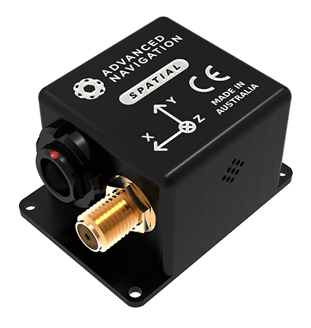
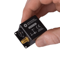
Spatial is a ruggedized miniature GPS-aided INS (inertial navigation system) and AHRS that provides accurate position, velocity, acceleration, and orientation outputs. It couples high-performance MEMS inertial sensors and a pressure sensor with an advanced GNSS receiver using an AI-driven fusion algorithm to deliver accurate and reliable navigation and orientation.
Spatial’s GNSS receiver supports all current and future satellite navigation systems including GPS, GLONASS, GALILEO, and BeiDou. It features L1 RTK which can provide positioning accuracy of 2cm and also supports kinematic post-processing accuracy of 1cm.
A next-generation battery backup system allows Spatial to hot start inertial navigation from its last position in 500 milliseconds and obtains a GNSS fix in approximately 3 seconds. Our Spatial series are the only GNSS/INS in the world to provide this unique capability.
With low SWaP requirements, Spatial is ideal for UAV surveying and geo-referencing missions, as well as tracking, security, and platform stabilization for a wide range of robotic systems.


