



Forcys highlights how Vigilant Forward Looking Sonar (FLS) and Sonardyne’s SPRINT-Nav can support the situational awareness and navigation accuracy required by autonomous Uncrewed Surface Vessels (USVs) operating in GNSS-denied environments.
In contested maritime operations, Forcys highlights the risk posed by false navigation data, particularly where Global Navigation Satellite System (GNSS) signals are jammed or manipulated.
Addressing GNSS Denial in Tactical USV Operations
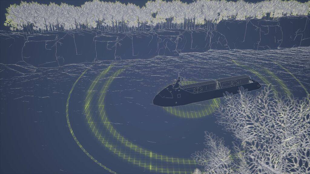
Forcys describes a scenario in which an autonomous USV enters a narrow inlet during a survey or surveillance mission. The vessel initially navigates using GNSS until a directional electronic warfare attack begins.
A spoofing array can inject a high-amplitude counterfeit signal into the USV’s receiver, causing the primary navigation solution to gradually move away from the vessel’s true course. This can force the USV off-track, creating physical danger or operational failure.
Forcys notes that uncrewed platforms operating in these conditions cannot rely on single-point satellite references alone. Instead, real-time physical verification from multiple sensors can be used to identify false navigation data.
Combining Navigation and Sonar Data
Acoustic and visual telemetry can provide physical references when satellite signals become untrusted.
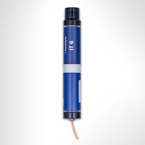
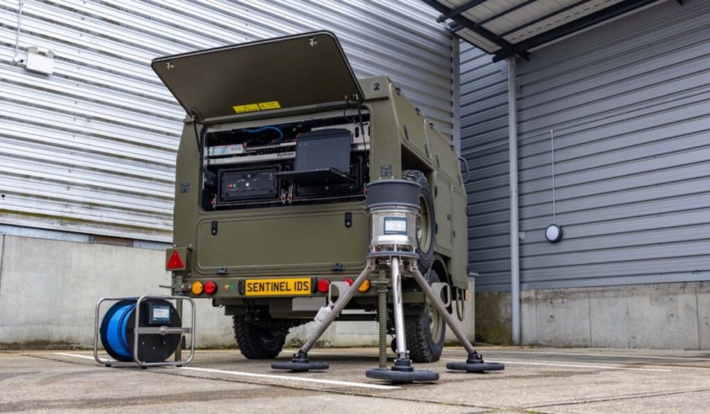
Sonardyne’s SPRINT-Nav combines an Inertial Navigation System (INS), Doppler Velocity Log (DVL), pressure sensor, and acoustic positioning within a single tightly coupled instrument. If the satellite signal is spoofed, SPRINT-Nav senses the USV’s true hydrodynamic motion and acceleration, providing an accurate alternative to GNSS data.
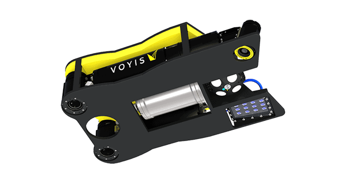
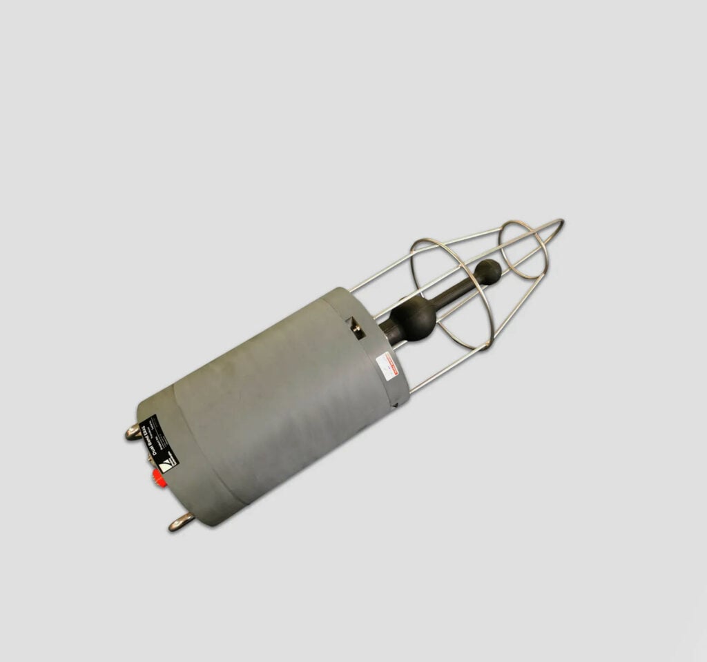
Vigilant FLS provides a real-time 3D imaging picture of the seabed and subsurface environment. This produces a real-time chart that can be used for navigation, including in uncharted environments.
Together, SPRINT-Nav and Vigilant FLS provide navigation and environmental information that can be used when GNSS data becomes untrusted.
Forcys highlights this multi-sensor approach as a means of supporting situational awareness and navigation during tactical USV operations where satellite positioning cannot be relied upon.