

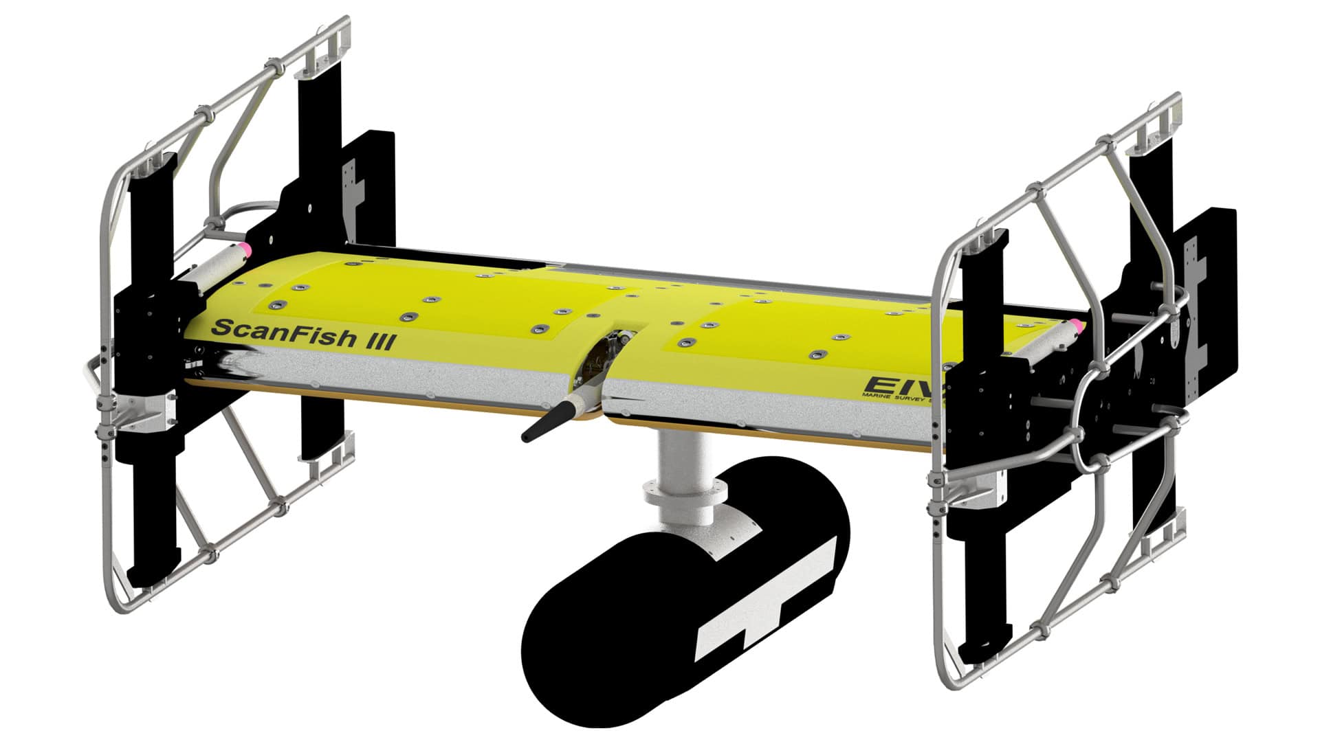
Equinox offers unrivalled stability, position accuracy and results in real-time. The system combines a SPRINT INS, Mini-Ranger 2 USBL, and Solstice Multi-Aperture Sonar (MAS) mounted on the ScanFish 3D, a steerable Remotely Operated Towed Vehicle (ROTV). The NaviSuite Kuda software user interface is used to plan, autopilot and display the data in real-time.
At a total weight of 220 kg in air, Equinox can be easily mobilised and offers an affordable lower-logistics alternative capable of providing high area coverage rates. By combining leading navigation and positioning, imaging data is geo-referenced with an accuracy that’s unrivalled for MCM applications at this price.
Using the NaviSuite Kuda software, which offers a long list of features tailored to survey operations, users can define sailing routes and run-lines by simply selecting the areas for coverage. During the mission, NaviSuite Kuda continuously updates the vessel and ScanFish 3D position in real-time. Equinox provides comprehensive data displays and deliverables, such as real-time geo-rectified waterfalls, mosaics and DTM maps. It includes user interface tools that enable an operator to mark and process objects, including automatic target recognition using AI.
Key Features:
- Designed to support Search, Classify and Map (SCM) and Hydrographic operations
- Effective area coverage rate (ACR) of up to 1.6 km2/hr
- Along track resolution of 0.15° for maximum detection rates
- Co-located side-scan image and bathy improves situational awareness
- Real-time motion compensation and positioning accuracies better than 1 m DRMS
- Automatically follows terrain and avoids obstacles


