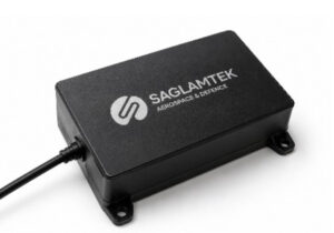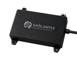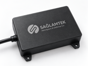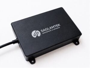

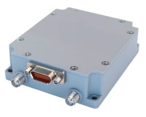

Showcase your capabilities
If you design, build or supply Radar Altimeters, create a profile to showcase your capabilities and connect with visitors who have an active requirement for your solutions.



Radar altimeters are RF-based instruments that measure an aircraft’s height above terrain or water, providing Above Ground Level (AGL) data for navigation, flight control, and landing operations. These sensors enable low-altitude flight, terrain clearance monitoring, automated altitude hold, and terrain-following operations.
This category features radar altimeter manufacturers supporting fighter aircraft, tactical helicopters, transport aircraft, and UAVs.
Read the Technology Overview
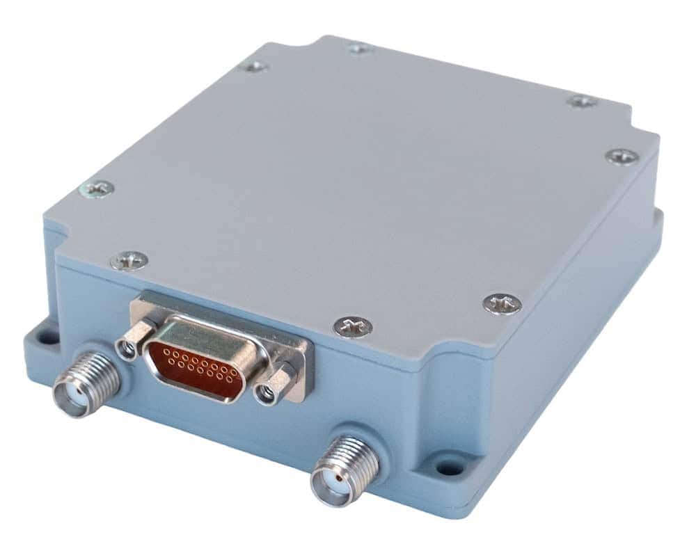
If you design, build or supply Radar Altimeters, create a profile to showcase your capabilities and connect with visitors who have an active requirement for your solutions.

Radar altimeters are Radio Frequency (RF) instruments that measure the vertical distance between an aircraft and the terrain, water, or other reflecting surface directly beneath it. Unlike barometric altimeters, which determine altitude relative to an atmospheric pressure reference, radar altimeters provide height Above Ground Level (AGL) by transmitting radio signals toward the surface and analyzing the returned reflections, supporting low-altitude navigation, terrain clearance monitoring, flight control, and landing operations.
Military radar altimeters are used across fighter aircraft, tactical helicopters, transport aircraft, and Unmanned Aerial Vehicles (UAVs), with systems available for different altitude ranges, accuracy requirements, and aircraft integration constraints. Common configurations include Frequency-Modulated Continuous Wave (FMCW), pulsed, digital, compact, and integrated radar altimeters, with the underlying ranging architecture selected according to the requirements of the platform and mission.
Radar altimeters use different signal transmission and processing techniques to determine aircraft height above the underlying surface. A typical system combines a transmitter, transmitting and receiving antennas, a receiver, and signal-processing electronics that analyze the reflected signal to calculate distance and provide altitude data to cockpit displays, flight controllers, and other avionics.
| Radar Altimeter Type | Measurement Principle | Key Characteristics | Military Applications |
| FMCW Radar Altimeters | Measures the frequency difference between transmitted and reflected frequency-modulated signals | Continuous measurement, fine range resolution, and frequent updates | Military aircraft, helicopters, and UAVs |
| Pulsed Radar Altimeters | Measures the round-trip travel time of transmitted radar pulses | Time-of-flight measurement and configurable pulse characteristics | Specialized aircraft and extended-range applications |
| Digital Radar Altimeters | Uses digital signal processing with FMCW or pulsed ranging techniques | Digital filtering, diagnostics, and configurable data outputs | Modern military avionics and autonomous platforms |
| Compact Radar Altimeters for UAVs | Typically uses miniaturized FMCW or other short-range radar architectures | Low size, weight, and power requirements | Small UAVs, multirotors, and Vertical Takeoff and Landing (VTOL) aircraft |
| Integrated Radar Altimeter Modules | Combines radar transmission, reception, and processing within an integrated assembly | Compact packaging, simplified installation, and reduced external hardware | Embedded avionics and autonomous aircraft |
| High-Altitude Radar Altimeters | Uses radar ranging architectures designed for extended measurement distances | Extended altitude coverage with application-specific antenna and processing requirements | Specialized airborne and high-altitude platforms |
Radar altimeters determine aircraft height by analyzing the delay or frequency characteristics of radio signals reflected from the surface below. Processing electronics convert these measurements into altitude outputs for cockpit displays, avionics, and flight controllers. Measurement accuracy depends on factors including aircraft attitude, antenna characteristics, terrain geometry, surface reflectivity, and signal conditions.
Radar altitude measurements provide continuous information about an aircraft’s height above the underlying surface, complementing barometric and other altitude references during low-level flight. These measurements help pilots and flight control systems maintain awareness of vertical separation from terrain or water, particularly where ground elevation changes significantly or conventional altitude references do not directly indicate surface clearance.
Radar altimeters supply vertical distance measurements to terrain clearance monitoring, ground proximity warning, and altitude alerting systems. When integrated with compatible avionics, radar altitude data can trigger warnings when an aircraft approaches predefined height thresholds or potentially unsafe conditions. However, downward-looking radar altimeters cannot independently detect rising terrain or obstacles ahead, requiring additional sensors or terrain information for predictive warning functions.
Radar altimeters provide height feedback to compatible autopilots and flight control systems, enabling aircraft and UAVs to maintain a specified altitude relative to the underlying surface. Flight controllers use these measurements to adjust vertical control inputs and compensate for changes in surface elevation. Performance depends on sensor update rate, measurement stability, terrain characteristics, and the response capabilities of the aircraft’s control system.
During approach and landing, radar altimeters provide direct height measurements close to the ground, where accurate surface-relative information becomes increasingly important. Appropriately equipped aircraft can use these measurements to support automated landing functions, altitude callouts, flare control, decision-height functions, and other landing-phase operations. Radar altitude outputs complement other navigation and guidance inputs used to manage the final stages of descent.
Radar altitude measurements can be combined with inertial, barometric, and satellite-based navigation data to support vertical state estimation and flight control. Integrated navigation systems use these complementary measurements to improve the consistency of altitude information, compensate for individual sensor limitations, and provide inputs to automated control functions. Sensor fusion architectures may also use radar altitude data to support terrain-relative positioning and navigation when external positioning information is limited.
Aircraft navigation systems use several technologies to determine altitude, height, or distance from surrounding surfaces, with each providing a different reference. Radar altimeters are distinguished by directly measuring distance to the reflecting surface beneath the aircraft rather than determining altitude relative to an atmospheric, satellite-based, or fixed geographical reference.
Integrated navigation architectures can combine radar altimeters with barometric sensors, Inertial Navigation Systems (INS), and GNSS receivers so each source provides complementary vertical information and helps improve overall navigation resilience.
Military radar altimeters may be subject to environmental, electrical, electromagnetic, and system-assurance requirements depending on the aircraft, installation, procurement program, and applicable airworthiness or certification criteria.
Electromagnetic compatibility is particularly important because conventional aircraft radar altimeters commonly operate within the 4.2–4.4 GHz band. The deployment of adjacent-band 5G wireless networks has raised concerns about potential interference with radar altimeter receivers, particularly where strong signals affect receiver performance. Radar altimeter 5G compatibility depends on factors including receiver filtering, interference susceptibility, antenna characteristics, installation conditions, and the surrounding RF environment.
Developments in radar electronics, embedded processing, and autonomous navigation are influencing the design of military radar altimeters, with increasing emphasis on miniaturization, flexible processing, interference tolerance, and integration with other navigation sensors.
Together, these developments are supporting the integration of radar altimeters into increasingly compact military aircraft and autonomous systems while addressing demanding requirements for measurement performance, reliability, navigation integration, and electromagnetic compatibility.


 Searching Companies & Products