Aircraft Inertial Navigation Systems (INS) provide continuous position, velocity, attitude, heading, and timing data for military aircraft without reliance on external RF signals. These systems use precision accelerometers and gyroscopes within an IMU to support navigation, flight control, sensor alignment, and mission execution in GNSS-denied or contested environments.
This page showcases leading Aircraft INS manufacturers for fighter aircraft, ISR platforms, transport aircraft, rotorcraft, and unmanned systems deployed across military and defense operations.
If you design, build or supply Aircraft Inertial Navigation Systems (INS), create a profile to showcase your capabilities and connect with visitors who have an active requirement for your solutions.
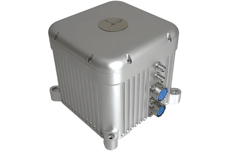
LEO-aided inertial navigation system for A-PNT in D3SOE operations
LEO-aided inertial navigation system for A-PNT in D3SOE operations
IRINS from Inertial Labs, a VIAVI Solutions Inc. company, is a Low Earth Orbit (LEO)-aided Inertial... ...ous and secure navigation and timing data without reliance on GNSS. The device includes an embedded...
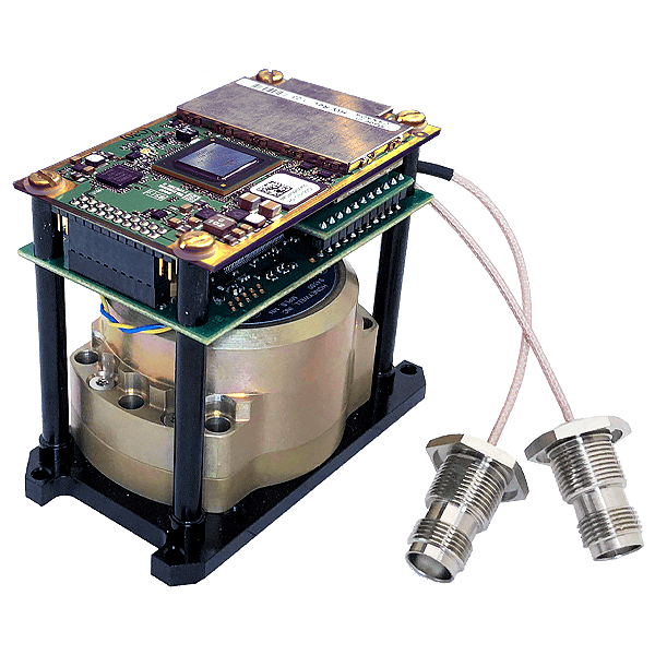
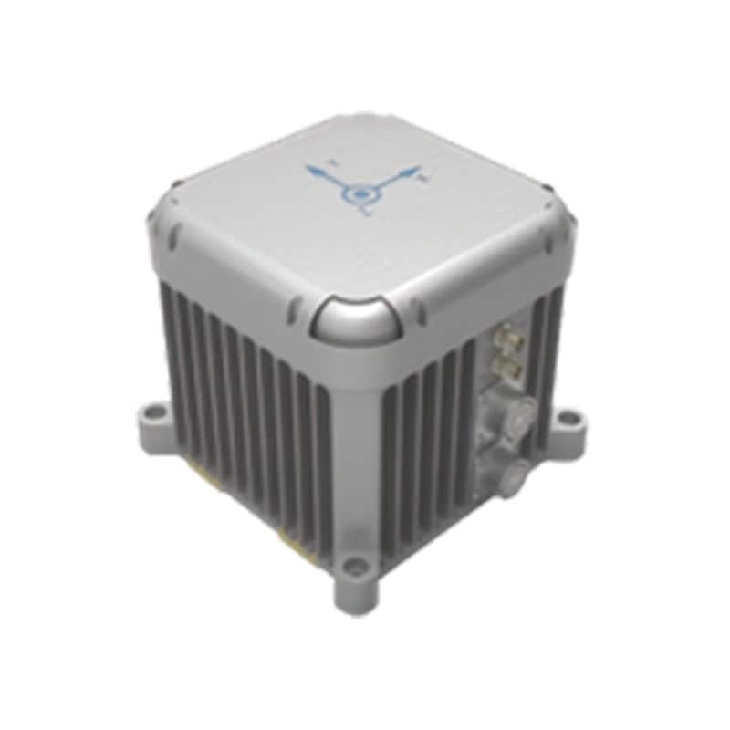
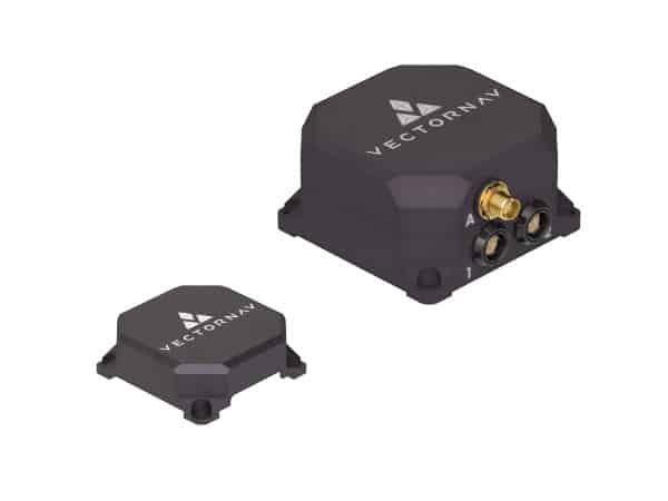
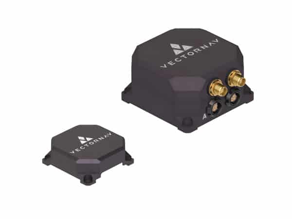
OEM dual-antenna GNSS-INS with Honeywell HG4930 IMU
OEM dual-antenna GNSS-INS with Honeywell HG4930 IMU
The Inertial Labs GPS-Aided InertialNavigationSystem(INS-DH-OEM) is an OEM version of the new... ...NSS-aided MEMS inertialnavigationsystem in an OEM form factor, featuring an advanced NovAtel...
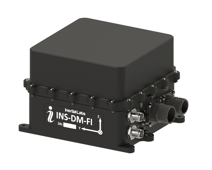
FOG AHRS & INS for GPS-denied navigation & resilient heading
FOG AHRS & INS for GPS-denied navigation & resilient heading
...ding Reference System (AHRS) and InertialNavigationSystem(INS) engineered for military... ...as 50 supports navigation in GNSS-denied or degraded scenarios and provides sensor outputs suitable...
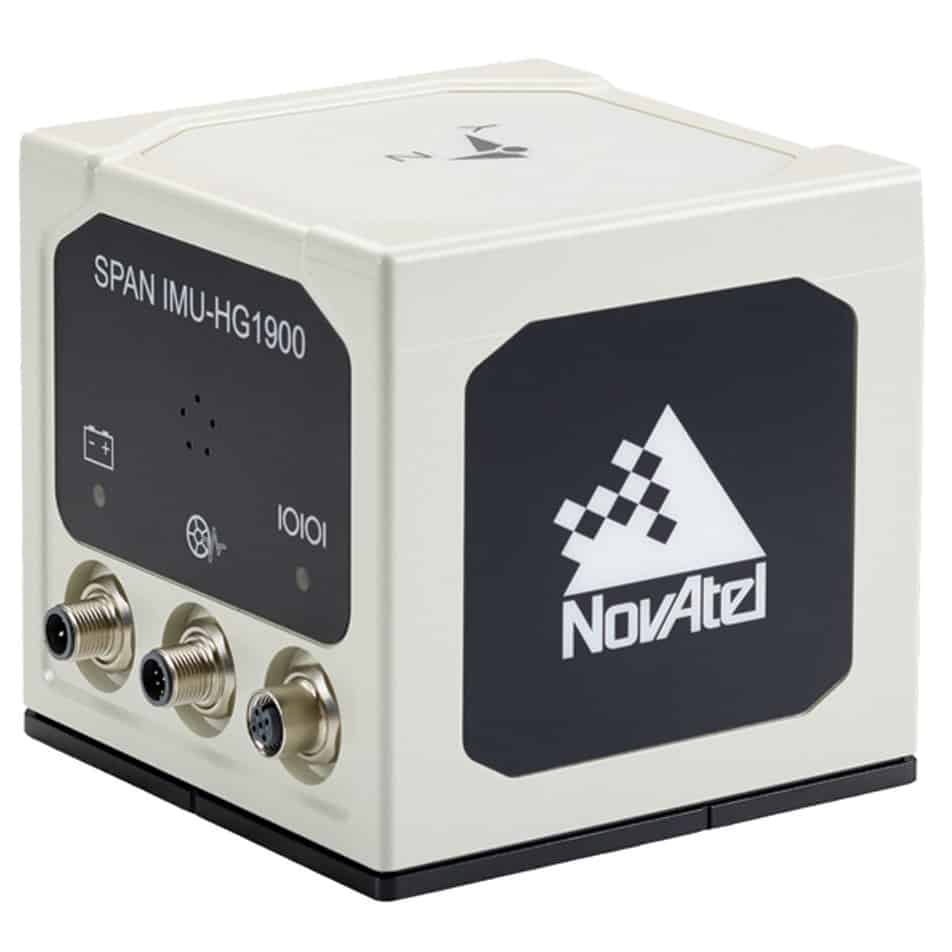
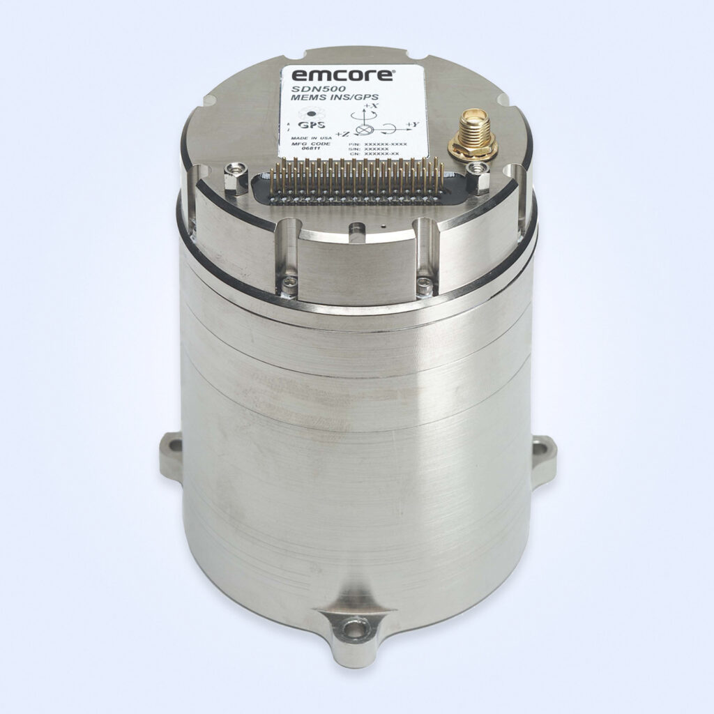
Combines with SPAN GNSS+INS technology providing 3D position, velocity and attitude
Combines with SPAN GNSS+INS technology providing 3D position, velocity and attitude
......actical grade Mems IMU enclosure for commercial and military guidance and navigation... ...ctromechanical Systems (MEMs) Gyros and RBA accelerometers. Our Synchronous Position, Attitude and...
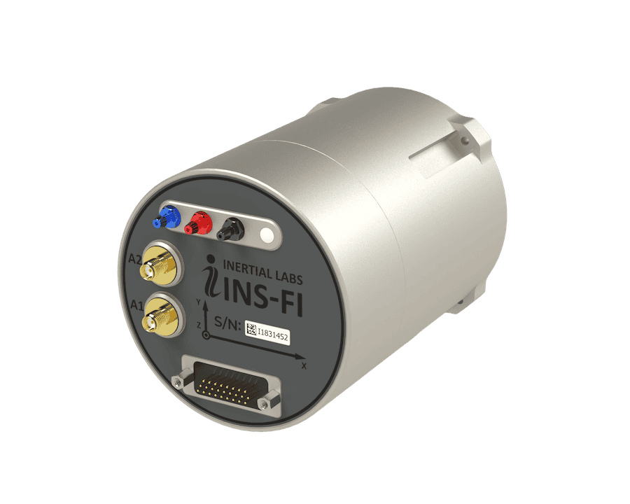
High-accuracy inertial navigation system for airborne, maritime and land platforms
High-accuracy inertial navigation system for airborne, maritime and land platforms
...s a ruggedised inertialnavigation unit built around a closed-loop fibre-optic gyroscope and... ... accelerometer system achieving accelerometer bias stability of ~10 µg....
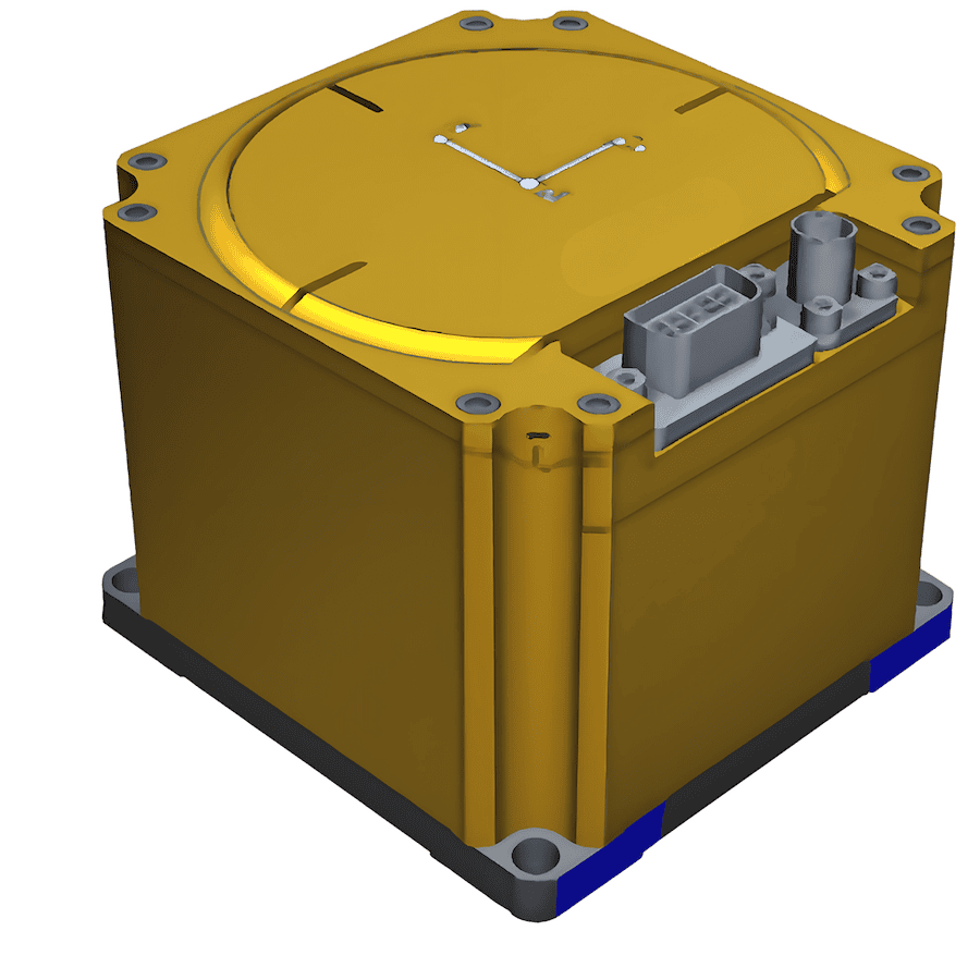
Rugged Inertial Navigation System with Embedded GNSS & Advanced PIC Technology
Rugged Inertial Navigation System with Embedded GNSS & Advanced PIC Technology
...EO-FOG 3D Dual InertialNavigationSystem(INS) is a precise and reliable solution for military... ...Stabilization, Navigation, and Control: Ensures precise navigation for both manned and unmanned...
...and Fixed-Wing Aircraft: Ensures precise navigation and control for aerial operations in diverse... ...Tactical Grade System, engineered for high-quality performance in demanding military applications....
A Comprehensive Overview of Aircraft Inertial Navigation Systems (INS)
Overview by
William Mackenzie
Updated:
Introduction to Aircraft Inertial Navigation Systems (INS)
An aircraft inertial navigation system is a foundational subsystem aboard modern military airframes. By providing continuous position, velocity, attitude, heading, and navigation timing information without relying on external RF signals, an INS in aircraft remains indispensable for combat aviation, intelligence gathering, and autonomous operations.
Unlike satellite-based navigation technologies, an inertial navigation system in aircraft operates independently by measuring the platform’s motion through a combination of precision accelerometers and gyroscopes. This self-contained architecture allows military forces to maintain navigation accuracy even when GPS or other GNSS signals are degraded, denied, or deliberately spoofed.
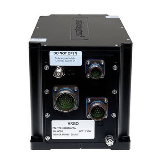
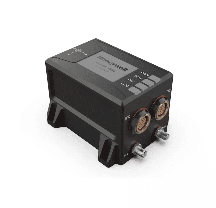
ARGO FOG-based aircraft INS and AHRS by Honeywell Aerospace
Most modern military aircraft employ integrated navigation architectures that combine an aircraft INS with GNSS and other navigation sensors. These systems use satellite navigation updates to improve long-term accuracy while retaining the ability to continue operating when external signals become unavailable.
Platforms Leveraging INS Across Defense Aviation
Combat and Reconnaissance Airframes
Modern fighter aircraft operate in highly dynamic environments that demand exceptional spatial accuracy. Robust INS configurations support air-to-air engagements, precision strike missions, and terrain-following flight profiles. Similarly, Intelligence, Surveillance, and Reconnaissance (ISR) platforms depend on an advanced inertial navigation system aircraft setup to accurately geolocate targets, synchronize sensor payloads, and maintain mission effectiveness over extended tracking periods.
Transport, Maritime Patrol, and Special Mission Aircraft
Military transport aircraft rely on inertial navigation systems for long-range route navigation, precision approaches, and operation in regions where satellite navigation availability may be limited. Maritime patrol aircraft utilize INS data to support anti-submarine warfare, maritime surveillance, and sensor alignment, while special mission aircraft depend on highly accurate navigation and attitude information to support electronic warfare, intelligence collection, and airborne command-and-control functions.
Rotorcraft and Unmanned Aircraft
Helicopters and tactical rotorcraft frequently utilize INS in aviation for low-altitude terrain avoidance, hover stabilization, and weapon pointing in degraded visual environments. For unmanned platforms, an airborne GPS-aided inertial system or compact standalone aircraft INS serves as the primary navigation foundation, enabling autonomous waypoint navigation, stable flight control, and resilient swarm or collaborative combat operations when primary communication links are disrupted. Loitering munitions and Collaborative Combat Aircraft (CCA) similarly rely on advanced inertial navigation capabilities to maintain mission effectiveness in GNSS-contested environments.
Core Components of Aircraft Inertial Navigation Systems
The overall performance and drift rate of an aviation INS are primarily determined by the quality of its underlying Inertial Measurement Unit (IMU) and gyroscope technology:
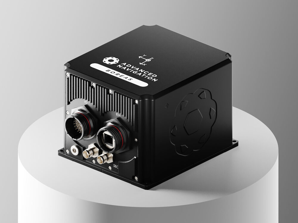
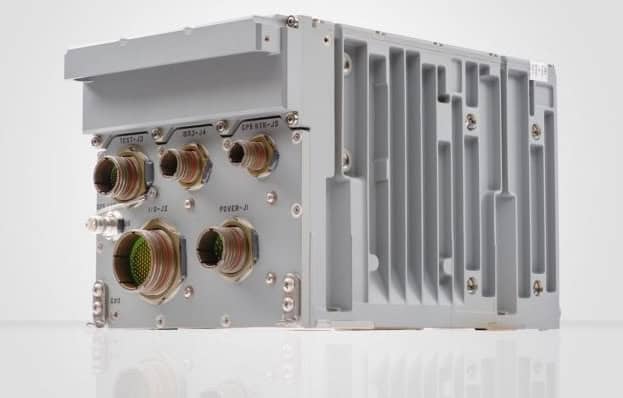
Certus Mini D GNSS-aided aircraft inertial navigation system by Advanced Navigation
Accelerometers: Measure linear acceleration along multiple axes, enabling the INS to calculate changes in velocity and position over time. Together with gyroscopes, they form the core sensing elements of the IMU.
Ring Laser Gyros (RLG): Utilize laser beams in a closed optical path to offer excellent long-term stability and linear accuracy, making them standard for high-end combat and strategic aircraft.
Fiber Optic Gyros (FOG): Employ coiled optical fibers to provide high bandwidth, exceptional reliability, and reduced maintenance in compact system designs.
MEMS Gyroscopes: Leverage micro-machined silicon structures to deliver ultra-low size, weight, power, and cost (SWaP-C), making them ideal for loitering munitions and small tactical UAVs.
Advanced embedded software and filtering techniques process these raw sensor inputs in real time, mitigating the effects of inherent sensor errors and drift while managing data distribution across the wider avionics architecture. Many modern systems also integrate inputs from GNSS receivers, air data systems, radar altimeters, and other onboard sensors to enhance overall navigation performance.
Defense Standards & Selection Criteria
Every aircraft inertial navigation systems deployment must conform to strict military and aerospace certification standards before achieving airworthiness:
Environmental & EMI: Systems must meet MIL-STD-810 requirements for shock, vibration, and temperature extremes, alongside MIL-STD-461 for electromagnetic compatibility.
Software & Hardware Assurance: Many military and dual-use aircraft programs also apply standards such as DO-160, DO-178C (software assurance), and DO-254 (airborne electronic hardware) to support airworthiness certification and safety-critical system development.
When choosing an inertial navigation system aviation solution, system integrators must carefully balance the platform’s maximum allowable drift rate against rigid SWaP-C constraints. While Commercial Off-The-Shelf (COTS) systems dramatically reduce development risk and speed up deployment timelines, custom-engineered solutions remain necessary for highly specialized airframe form factors or unique data bus architectures.
Advancing Defense Capability Through Strategic Collaboration
Defense Advancement works with major OEMs to foster collaboration and increase engagement with SMEs, to accelerate innovation and drive defense capabilities forward.