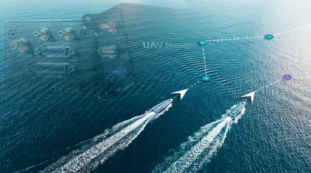




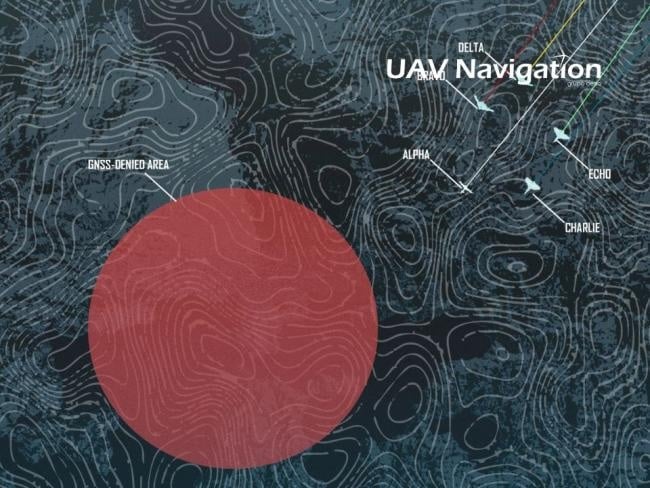
Reliable navigation during GNSS disruption requires unmanned aircraft to maintain position, velocity, and attitude estimates without depending on continuous satellite-based updates. UAV Navigation – Grupo Oesia has developed a navigation architecture that combines inertial, air data, terrain, and visual techniques to address cumulative drift while detecting degradation caused by jamming and spoofing. Read more >>
The architecture uses two complementary elements: an AD-AHRS and a multi-modal visual navigation system. Together, they are intended to sustain navigation in GNSS-denied environments by combining relative navigation techniques with methods capable of providing absolute position corrections.
The architecture combines AD-AHRS-based inertial navigation with visual odometry, template matching, terrain reference navigation, and map matching to maintain navigation when GNSS becomes unavailable or unreliable.
By selecting complementary sources of relative and absolute navigation information, the approach is intended to reduce dependence on satellite positioning while limiting cumulative drift under jamming and spoofing conditions.
Following the dataset studies and Jammertest 2025 flight campaigns, ongoing work is focused on further integration of the TRN and MM modules into the standard product and on extending validation campaigns to more challenging environments.
Read GNSS-Denied Architecture For Unmanned Aerial Systems on the UAV Navigation website.