


GNSS jamming and spoofing are creating operational challenges for maritime vessels, with implications extending beyond navigation to multiple interconnected onboard systems. Ground Control recently examined these risks in a webinar with Andy Proctor of Rethink PNT, Vice President of the Royal Institute of Navigation (RIN), focusing on the consequences of GNSS disruption and practical measures to strengthen maritime positioning, navigation and timing (PNT) resilience.
The discussion comes amid growing reports of interference affecting commercial shipping. Hundreds of vessels have reportedly exhibited abnormal Automatic Identification System (AIS) behavior consistent with GNSS interference across the Arabian Gulf and Strait of Hormuz, with similar activity reported in the Red Sea and Baltic regions. Collisions and groundings linked directly to GNSS interference in 2025 have further highlighted the potential operational consequences.
The Royal Institute of Navigation characterized the changing threat environment in its 2026 Maritime Interference Report:
GNSS interference is now considered a routine operational hazard in many maritime environments.
The webinar identified five areas requiring attention, ranging from interference detection and system dependencies to recovery procedures, crew preparedness and independent positioning capabilities.
GNSS Interference Is Becoming a Routine Maritime Hazard
GNSS disruption is increasingly being reported beyond areas directly associated with armed conflict, affecting ports, strategic waterways and heavily trafficked shipping routes.
Information from UK Maritime Trade Operations (UKMTO), the Joint Maritime Information Center (JMIC) and RIN indicates that both jamming and spoofing are becoming more widespread. As a result, maritime operators must consider the possibility of degraded or unavailable GNSS services during routine voyage planning and bridge operations.
Effective preparation requires an understanding of the geographical areas where interference is most likely, together with procedures for identifying and responding to unexpected changes in navigation data.
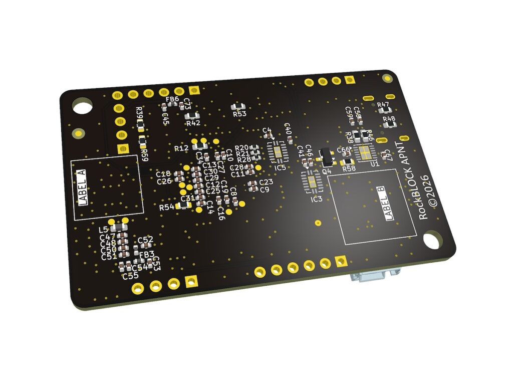
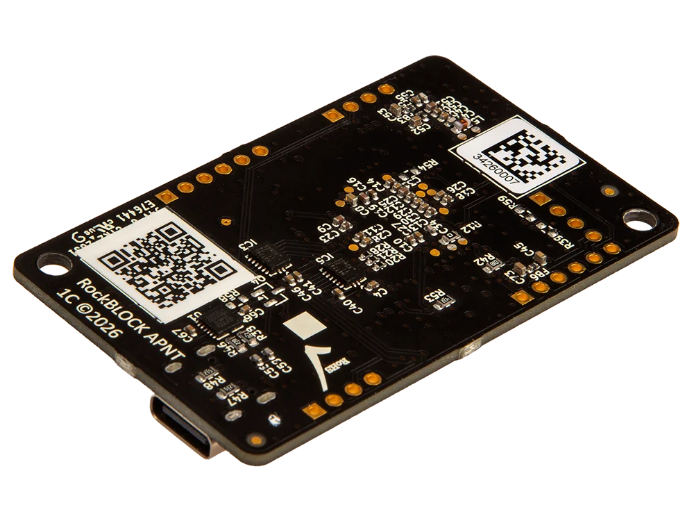
Alternative Positioning, Navigation and Timing (A-PNT) technologies can contribute to this preparation by providing an independent position reference when GNSS integrity is compromised.
This additional reference can help bridge crews maintain awareness of vessel position without relying exclusively on potentially unreliable GNSS information.
Operators should therefore consider whether crews understand the interference risks associated with their planned routes and have appropriate guidance before entering affected waterways.
GNSS Dependencies Extend Across Vessel Systems
The consequences of GNSS disruption are not limited to the vessel’s primary navigation display.
Position and timing information derived from GNSS is used to varying degrees by numerous onboard systems, including Electronic Chart Display and Information Systems (ECDIS), AIS, radar overlays, communications, dynamic positioning, engineering systems and voyage reporting.
Because these functions may share common positioning and timing inputs, a single interference event can potentially affect several operational systems simultaneously.
This interconnectedness can increase bridge workload, complicate situational awareness and reduce confidence in the information used to support operational decisions.
An important step toward improving resilience is identifying which systems receive and depend upon GNSS-derived data. Mapping these relationships can help operators determine where additional verification procedures, operational safeguards or independent positioning capabilities may be appropriate.
A-PNT can provide a separate position reference against which GNSS information can be compared. Such comparisons can help crews identify unexpected differences between positioning sources before unreliable information influences navigation decisions.
The webinar emphasized the importance of understanding these dependencies rather than treating GNSS interference solely as an isolated navigation equipment issue.
GNSS Spoofing Presents a Distinct Integrity Risk
Jamming and spoofing create different operational problems, requiring bridge teams to understand how each may appear within onboard systems.
Jamming generally causes an identifiable degradation or loss of GNSS reception. Spoofing, by contrast, introduces false positioning or timing information that can appear credible to equipment and operators.
The risk is that onboard systems may continue accepting inaccurate data without immediately indicating that the underlying information has been compromised.
Where multiple systems consume the same GNSS-derived inputs, erroneous information may propagate across the vessel, potentially affecting several functions before the bridge team recognizes a discrepancy.
This makes the validation of navigation information particularly important.
Rather than relying solely on equipment alerts indicating a loss of GNSS reception, operators need procedures for detecting inconsistencies in data that may otherwise appear valid.
Independent positioning references can support these checks by allowing crews to compare GNSS-derived positions with information obtained through a separate source.
Bridge teams should also understand the indicators of a potential spoofing event and the actions required when the reliability of their navigation information becomes uncertain.
Restoring GNSS Reception Does Not Guarantee System Integrity
The return of GNSS reception following an interference event does not necessarily establish that every dependent onboard system has resumed a trusted operating state.
Positioning, timing and associated vessel systems may require individual checks before operators can confidently return to normal procedures.
Consequently, recovery planning needs to address more than the restoration of satellite signals. It must also consider how crews verify the accuracy and consistency of the information being used across onboard systems.
RIN has highlighted the importance of restoring confidence in the vessel’s overall operational picture during recovery.
Independent position references can contribute to this process by providing another source of information against which navigation data can be validated.
Clear recovery procedures are therefore an important complement to initial interference detection. These procedures should establish how bridge teams assess system integrity and determine when the information supporting operational decisions can again be considered reliable.
Operational Resilience Requires Technology, Training and Procedures
Positioning resilience cannot be addressed through technology alone.
Although independent positioning capabilities can provide an additional means of maintaining and verifying positional information during GNSS disruption, their effectiveness depends on how they are incorporated into onboard procedures and operational practices.
The Ground Control webinar highlighted several complementary measures, including crew awareness, practical training, established bridge procedures and systematic incident reporting.
Training should help crews distinguish between jamming, spoofing and other navigation integrity issues, while ensuring that personnel understand the appropriate operational response.
Procedures should cover both the initial detection of interference and the subsequent recovery process, including verification of affected equipment and dependent systems.
Incident reporting also has an important role. Recording operational experiences and sharing lessons from interference events can help organizations identify recurring problems and refine their response measures.
The combined approach recognizes that technology, personnel and operational processes contribute to maritime GNSS resilience, particularly where disruption affects multiple interconnected systems.
Practical Measures to Strengthen Maritime GNSS Resilience
The webinar identified a series of actions that vessel operators can consider when reviewing their readiness for GNSS interference:
- Map GNSS dependencies: Identify onboard systems that rely on GNSS-derived positioning or timing information and assess how interference could affect their operation.
- Improve crew awareness: Train bridge personnel to recognize jamming, spoofing and indications that navigation data integrity may have been compromised.
- Review interference and recovery procedures: Establish clear operational guidance for responding to disruption and verifying system integrity after GNSS reception is restored.
- Integrate independent positioning: Combine resilient positioning technologies with crew training, established procedures and appropriate operational safeguards.
- Test onboard systems: Evaluate navigation and safety systems under realistic interference scenarios to better understand potential operational effects.
- Document incidents: Capture information from interference events and share lessons that can inform future procedures and training.
- Prepare for high-risk areas: Provide bridge crews with practical guidance before entering regions where GNSS disruption has been reported.
- Monitor interference activity: Track known interference hotspots and incorporate relevant information into voyage planning.
These measures provide a framework for examining both the technical and human factors associated with GNSS disruption.
The Role of A-PNT in Maritime Positioning Resilience
Independent positioning is one component of the broader response to GNSS interference.
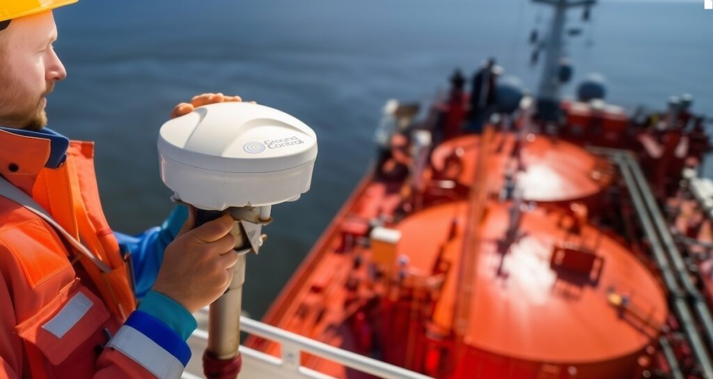
A-PNT technologies can provide an additional position reference when GNSS information becomes degraded, unavailable or unreliable. This allows operators to compare independent position information with GNSS-derived data, supporting integrity assessment during interference events and subsequent recovery.
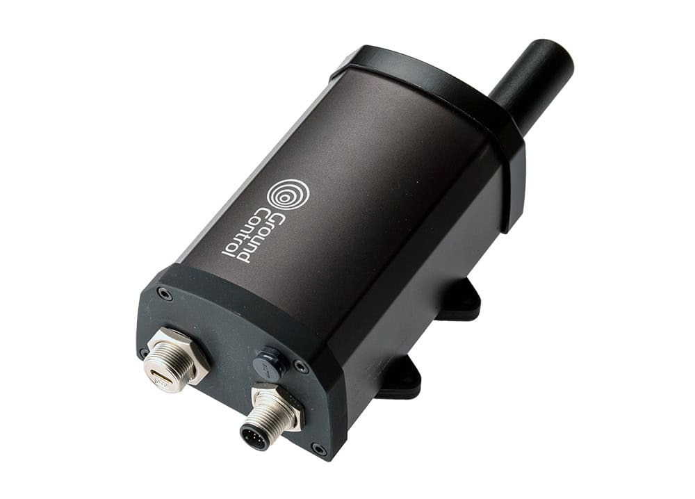
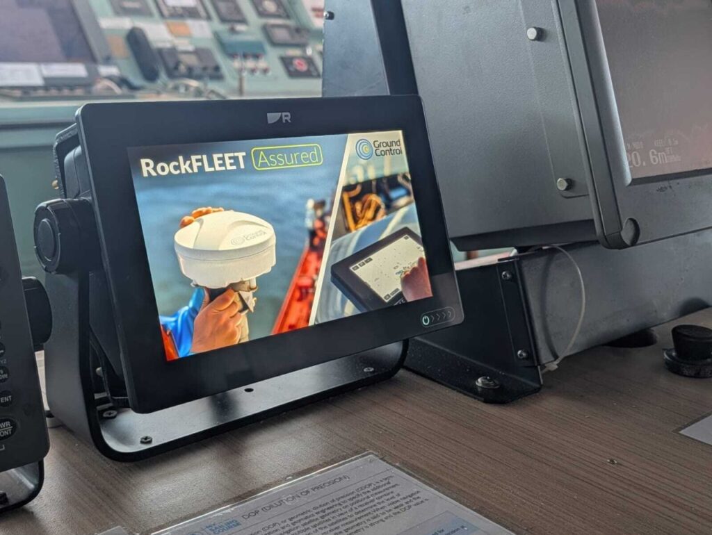
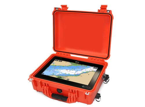
Ground Control addressed the application of these capabilities during its maritime GNSS resilience webinar, which also discussed the company’s RockFLEET Assured solution.
The session featured Andy Proctor, Vice President of the Royal Institute of Navigation, and Oliver Potter, Chief Operating Officer at Ground Control. Their discussion covered the operational effects of jamming and spoofing, industry research and practical approaches to mitigating interference-related risks.
The discussion reinforced the need to consider GNSS resilience across the vessel’s wider operational environment, including system dependencies, bridge procedures, crew readiness and methods for independently verifying navigation information.
For maritime operators, preparing for GNSS disruption increasingly involves ensuring that both onboard systems and personnel can identify compromised information, respond appropriately and verify operational integrity before returning to normal procedures.
Find further information on Maritime GNSS Interference on the Ground Control website.