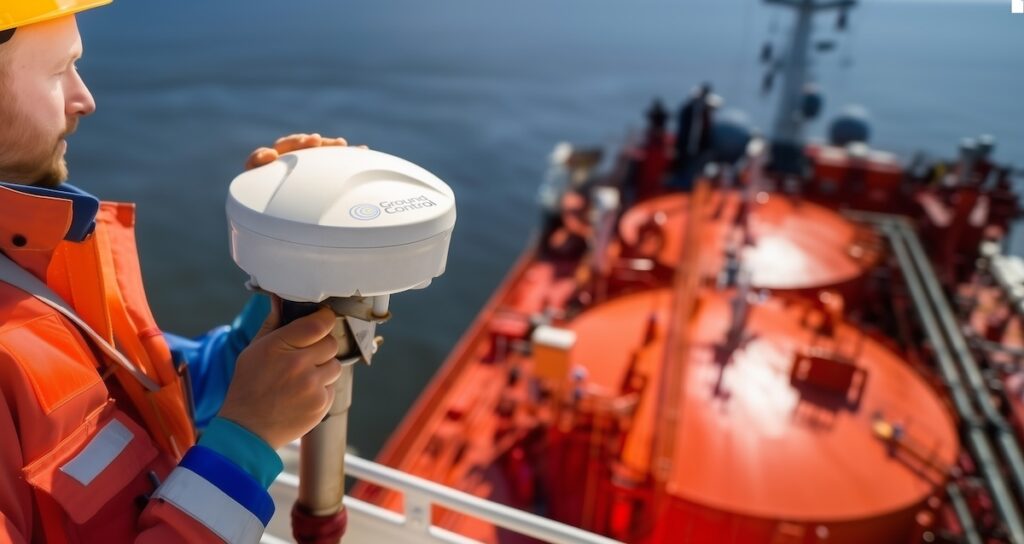
Ground Control has introduced RockFLEET Assured, a shipborne system designed to maintain trusted vessel positioning for merchant fleets facing GPS/GNSS spoofing, jamming, or outages.
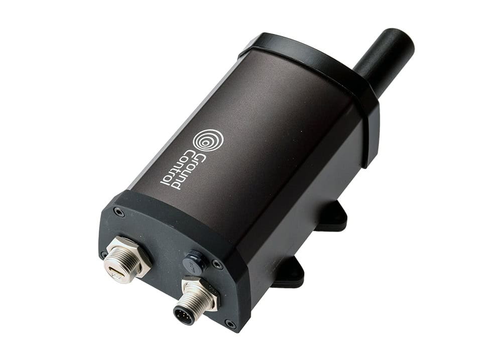
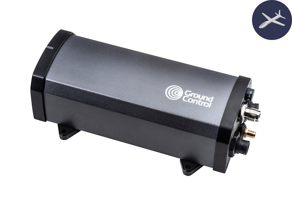
The compact, marine-grade smart antenna is engineered for commercial vessels operating in GNSS-contested environments. By combining Iridium PNT for Assured Positioning (A-PNT) with Iridium Messaging Transport (IMT), the hardware enables two-way satellite messaging, telemetry, and integrity-aware position reporting. This technical architecture supports security-oriented geofencing and configurable alerting to assist maritime risk stakeholders in verifying vessel locations.

The system integrates an Iridium Position, Navigation and Timing (PNT) module to draw an authenticated position source from a Low Earth Orbit (LEO) satellite network. Because these satellites operate at a lower altitude than traditional GNSS constellations, the signal can be up to 1,000 times stronger. This increased signal strength improves resilience against interference and helps crews identify “position-at-risk” scenarios that are often difficult to detect using standard onboard equipment.
Alastair Macleod, CEO of Ground Control, said, “When GNSS can’t be relied upon, teams need more than a single position feed; they need the ability to detect risk, maintain awareness, and respond quickly. RockFLEET Assured provides an authenticated second position source with configurable integrity alerts, designed for straightforward deployment and integration with modern maritime and enterprise
systems.
“As GPS/GNSS jamming and spoofing incidents increase, relying on GNSS alone can expose maritime operations to real risk. RockFLEET Assured provides a resilient, authenticated positioning capability for GNSS challenged environments.”
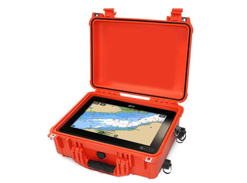
To assist bridge crews, an optional Chart View displays the assured position alongside standard GNSS tracks, using status indicators to highlight when data integrity is compromised. If a risk is detected, the system generates event logs and issues alerts that can be viewed locally or transmitted to shore-based systems for fleet-wide oversight.


The hardware features a low-profile design suitable for deck or pole mounting and includes up to 100 meters of marine-grade cabling. Operators can manage reporting intervals ranging from one minute to one hour, allowing for increased frequency in high-risk zones. These reporting profiles and geofencing rules are adjustable over the air (OTA).
Data from the hardware connects to Cloudloop Tracking, a secure browser-based monitoring service. This API-first platform allows for live and historical mapping, while enabling location and event data to be integrated directly into a customer’s existing enterprise workflows.