Showcase your capabilities
If you design, build or supply GNSS/INS, create a profile to showcase your capabilities and connect with visitors who have an active requirement for your solutions.


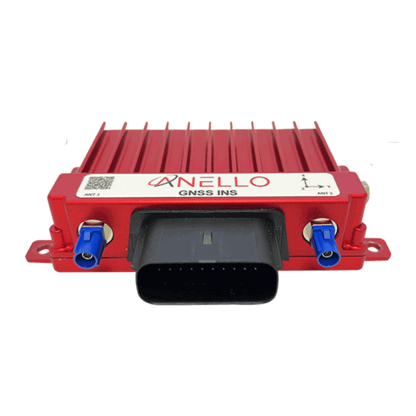
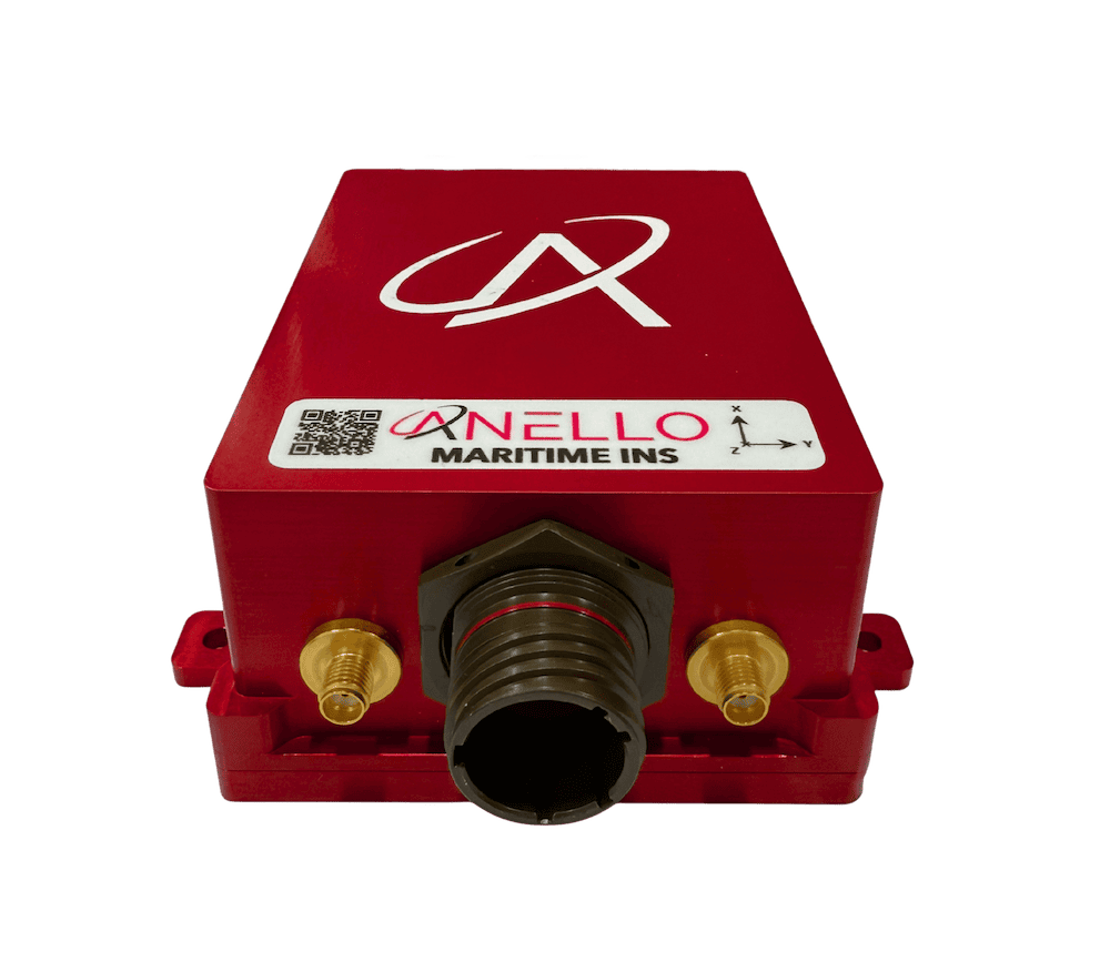
GNSS/INS systems combine satellite-based positioning with inertial measurement data to deliver robust, real-time navigation for defense platforms operating in contested or signal-degraded environments.
Read the Technology Overview
Advanced Inertial Navigation Systems (INS) for Reliable Navigation in Challenging Operational Environments

Cutting-Edge Inertial Solutions for High-Accuracy Navigation & Positioning in GPS-Denied Environments
Advanced Solutions for Defense Modernization: Propulsion, Sensors, Communication & Augmented Reality Systems
Tactical Grade IMU, GPS/INS, Weapon Orientation Solutions

Assured Position, Navigation and Timing (PNT) Solutions for Military and Defense
Advanced Navigation Solutions for Mission-Critical Defense & Aerospace Applications
High-Precision MEMS, Quartz & FOG Inertial Sensing Systems for Military, Aerospace & Defense Applications
Assured PNT Solutions for Mission Critical Military, Defense & Government Applications
High-Performance Inertial Sensing & Navigation Systems for Military Land Vehicles & Ground Forces
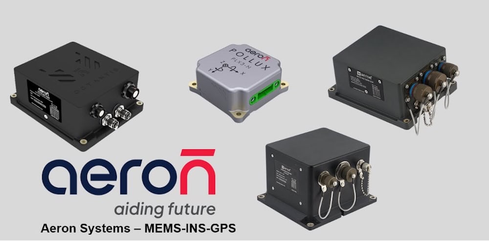
MEMS-based Inertial Navigation Systems for Supporting Tactical Unmanned Operations in GPS-Denied Environments
If you design, build or supply GNSS/INS, create a profile to showcase your capabilities and connect with visitors who have an active requirement for your solutions.

Global Navigation Satellite System/Inertial Navigation System (GNSS/INS) solutions integrate satellite signals with inertial sensors to enable precise, continuous navigation. These systems are critical in modern defense applications where reliable positioning, navigation, and timing (PNT) are required despite electronic interference or GPS denial. By blending external GNSS inputs with internal inertial measurement unit (IMU) data, they ensure uninterrupted operational capability for land, air, sea, and space systems.

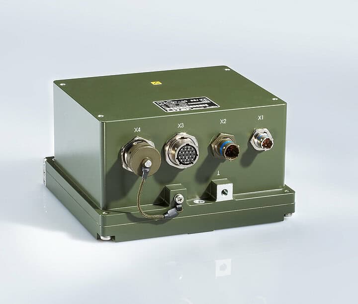
Land Navigator Systems by LITEF
GNSS/INS systems (GNSS-aided inertial navigation systems) combine two technologies: GNSS (such as GPS, Galileo, or GLONASS) and an inertial navigation system (INS) based on accelerometers, gyroscopes, and magnetometers. The GNSS provides absolute position data, while the INS delivers relative motion data independent of external signals. Integrated via sophisticated filtering algorithms like Kalman filters, the two systems complement each other to provide high-fidelity navigation.
In scenarios where GNSS signals are jammed or spoofed, INS maintains accurate dead-reckoning by using internal sensors. Conversely, GNSS corrects for drift errors inherent in inertial systems, ensuring long-term accuracy.
GNSS/INS systems serve as core navigation solutions across defense sectors:
These applications demand high reliability and robustness, particularly in contested environments with electromagnetic interference, jamming, or degraded GPS availability, where geolocation technologies must maintain continuous positioning and navigation capabilities.
GNSS/INS architectures vary in coupling tightness, affecting their responsiveness and resilience:
GNSS/INS systems may also be categorized by sensor class, including tactical-grade MEMS INS, navigation-grade systems for aircraft, and strategic-grade platforms for space or ballistic applications.
Embedded GPS/INS Systems (EGI) are integrated navigation units that combine GPS/GNSS receiver functionality with an inertial navigation system in a single embedded package. In defense applications, EGI solutions are widely used where compact, self-contained navigation is required, including aircraft, UAVs, ground vehicles, missiles, and other platforms operating in contested or GPS-degraded environments. By embedding GNSS and INS processing within the same system architecture, EGI units reduce integration complexity while supporting continuous position, velocity, attitude, and timing data.
GNSS/INS performance depends on the quality and integration of several components:
Each component must meet military-grade reliability and environmental standards for defense use.
| System | Strengths | Weaknesses | Use Cases |
|---|---|---|---|
| GNSS Only | High long-term accuracy | Susceptible to jamming/spoofing | Open-air, low-threat environments |
| INS Only | Immune to external interference | Drifts over time | GNSS-denied or short-duration use |
| GNSS/INS | Continuous, resilient, accurate | More complex and expensive | All-domain defense navigation |
GNSS/INS systems offer the best of both worlds, with continuous navigation during signal outages and improved accuracy over time.

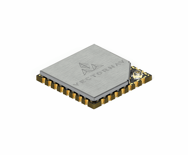
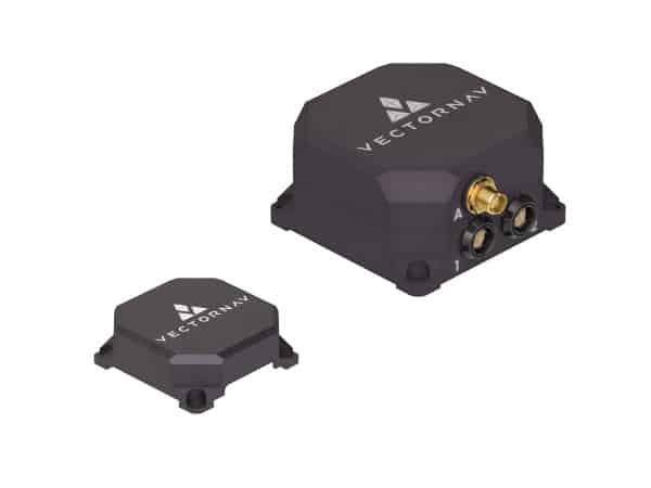
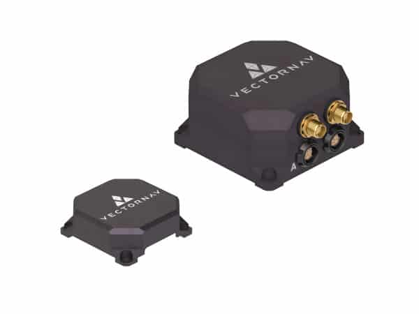
VN-300 Rugged Dual GNSS/INS by VectorNav
GNSS/INS systems deployed in defense contexts are subject to stringent standards, including:
Interoperability with tactical data links, command systems, and navigation infrastructure is also a design requirement for many GNSS/INS platforms.
Emerging trends in GNSS/INS for defense include:
Future systems will focus on modularity, SWaP-C (Size, Weight, Power, and Cost) optimization, and AI-assisted autonomy, expanding GNSS/INS functionality in network-centric warfare.


 Searching Companies & Products


 Subscribe to the Weekly eBrief
The latest engineering and technical developments straight to your inbox - join thousands of engineers who receive it.
Subscribe to the Weekly eBrief
The latest engineering and technical developments straight to your inbox - join thousands of engineers who receive it.