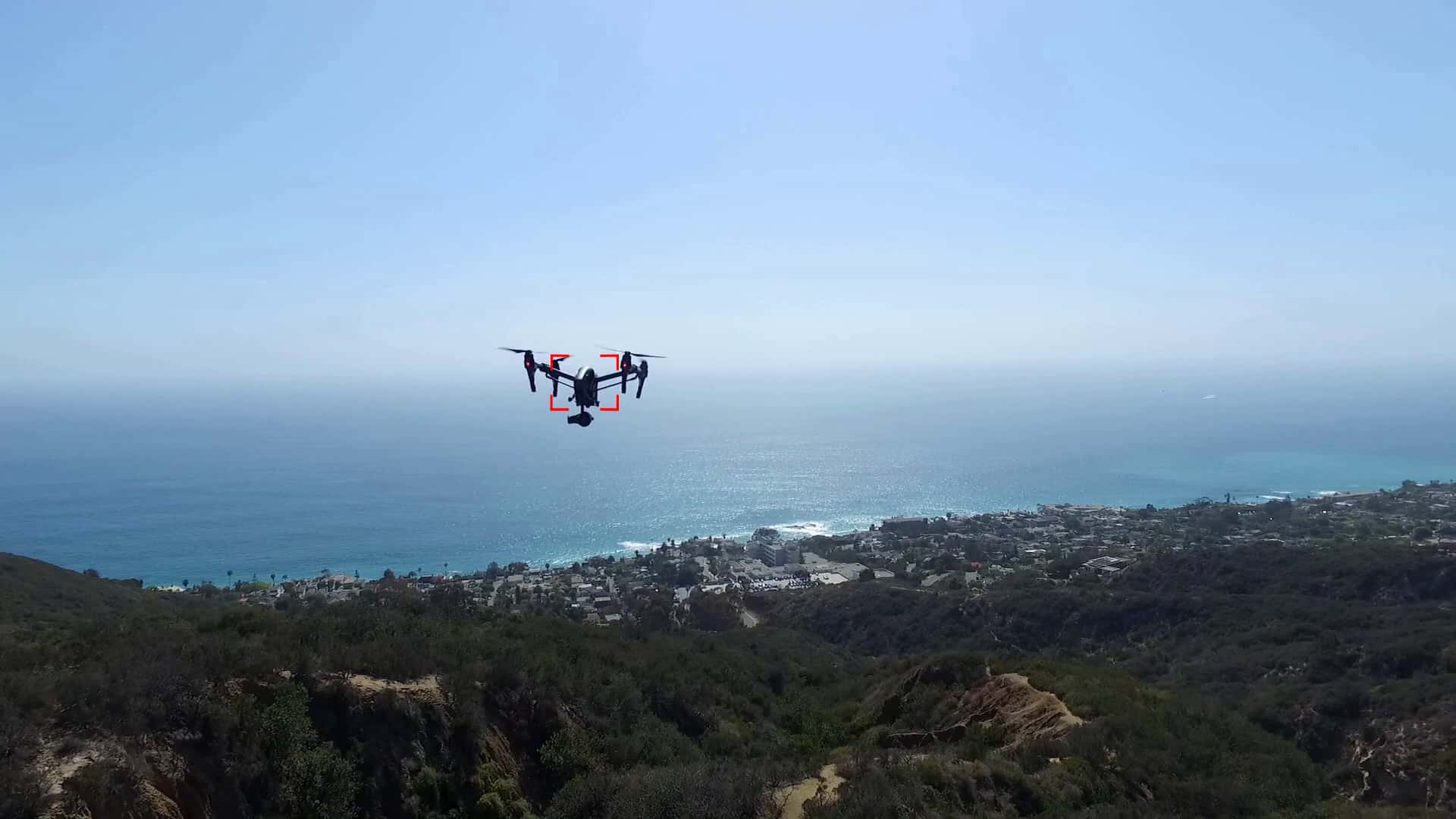




Sightline Intelligence and spatial intelligence provider Vantor have completed successful flight tests integrating onboard vision intelligence with visual positioning software and high-accuracy 3D terrain to enable autonomous navigation and target identification during GPS disruptions.
The series of flight tests combined Sightline’s edge vision intelligence software with Vantor’s visual positioning capability, achieving a target location accuracy of CE90 under three meters in tested configurations.
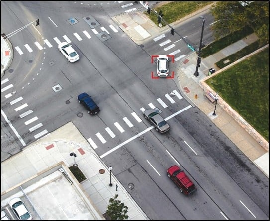
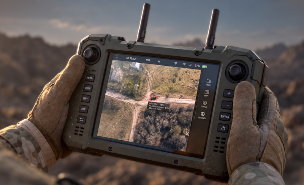
To navigate without satellite signals, Vantor’s Raptor visual positioning software georegisters a drone’s onboard camera against its Vivid Terrain 3D dataset. Simultaneously, Sightline’s edge-processed artificial intelligence target recognition and object tracking capabilities detect, classify, and track threats or objects of interest in real time. The resulting operational telemetry, including latitude, longitude, elevation, and location error estimates, is transmitted directly to command-and-control systems alongside video streams.
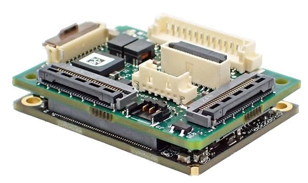
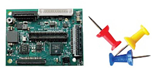
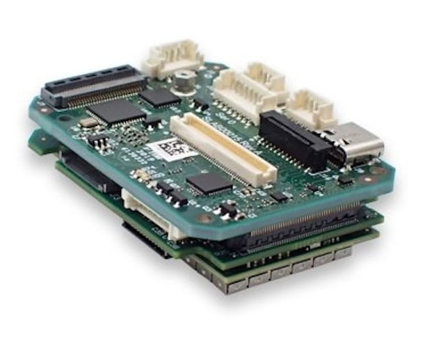
By uniting these processing capabilities into a single system, operators gain access to a unified workflow rather than managing disjointed tools. In supported configurations, both software suites run on the platform’s existing edge processor and standard camera hardware, eliminating the need for dedicated processing hardware or dedicated navigation sensors to address size, weight, and power limits across day and night conditions.
Stephen Bornstein, SVP of Product and Engineering at Sightline Intelligence, said, “On the battlefield, operators need to understand what they’re seeing, where a target is, and where their platform is, even when GPS is disrupted. Bringing that information together onboard gives our customers an integrated capability to support navigation and target handoff, helping operators maintain situational awareness and coordinate action in contested environments.”
Peter Wilczynski, Vantor’s Chief Product Officer, said, “Target recognition software can recognize an object, but that information becomes far more useful when it can also determine where the object is, and where the drone itself is, even without GPS. By connecting Sightline’s onboard vision software to our Raptor software and high-accuracy 3D terrain, we’re bringing those capabilities together for customers operating in GPS-challenged environments.”
Features of the combined technology, including autopilot messaging and target location estimation, are available for evaluation to Sightline customers.