
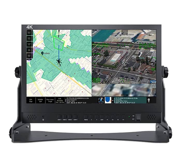
The TrakkaMaps® TM-100 is an advanced mission mapping and video management system that integrates seamlessly with Trakka’s camera and searchlight product portfolio to create a unified operational environment for airborne, maritime, and ground-based missions. Designed to enhance situational awareness and simplify mission execution, the system combines real-time mapping, video management, sensor control, and augmented reality functionality within a single user interface. Augmented reality overlays display critical geographic information directly on live video feeds, including roads, boundaries, points of interest, and other operational data, enabling faster decision-making and improved mission effectiveness.
The TM-100 provides comprehensive mission planning, execution, and post-mission analysis capabilities through an intuitive touch-screen interface compatible with notebooks, tablets, and ruggedized computing platforms. Operators can control cameras, sensors, and searchlights directly from the mapping environment, rapidly slew systems to map locations, addresses, coordinates, or designated points of interest, and utilize split-screen, picture-in-picture, image blending, and synthetic vision views to maximize information extraction. Integrated video, audio, and metadata recording support detailed post-mission review and reporting, while embedded H.264 streaming and flexible database integration enable interoperability with third-party systems, secure data sources, and operational networks.