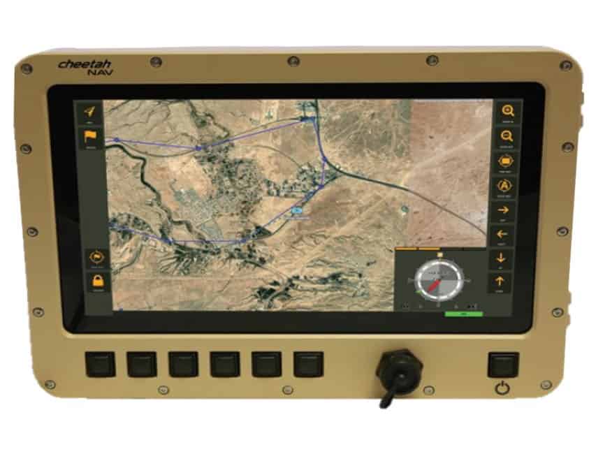
Inertial Labs has launched the CheetahNAV, a tactical-grade GNSS-Aided Inertial Navigation System (INS) designed to provide drivers and crews of ground vehicles with high-accuracy position, navigation, time, velocity, and orientation information in both GNSS-enabled and GNSS-denied environments.
Incorporating a tactical-grade MEMS-based Inertial Measurement Unit (IMU) and an embedded multi-constellation and multi-frequency GNSS receiver, the system uses real-time moving map technology to provide continuous situational awareness information. It includes a user-friendly and intuitive graphical navigation capability and sunlight-readable touchscreen displays for both the crew and the driver. CheetahNAV combines inertial and satellite position information to provide accurate navigation between preset waypoints on the way to the destination.
Onscreen information provided by the main display includes:
- Current vehicle speed and true heading
- Current vehicle position
- Desired heading towards the next waypoint or destination
- Desired vehicle speed to reach the next waypoint or destination at the planned time
- Next waypoint or destination position and distance to the next waypoint
- Pitch and roll attitude of the vehicle
- Track travelled by the vehicle
The rugged and MIL-STD-810G-qualified CheetahNAV is ideal for tough battlefield conditions, and has been tested to withstand the harshest military environments. The system is vehicle-agnostic and provides a range of options for flexible installation.
To find out more about the CheetahNAV Tactical Navigation System, download the datasheet here.


