
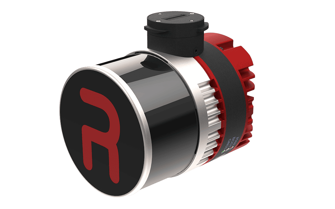
RESEPI™ Ultra LITE is a lightweight LiDAR scanning and mapping solution from Inertial Labs that combines a 32-channel XT-32 LiDAR sensor, GPS-aided inertial navigation, and an integrated 5 MP colorization camera in a compact payload optimized for aerial surveying and geospatial data collection.
Designed for organizations requiring accurate three-dimensional terrain intelligence, the system delivers high-density point cloud generation, centimeter-level positioning performance, and streamlined deployment across a variety of unmanned aircraft platforms. Its SnapFit mounting architecture supports rapid integration with selected Freefly, WISPR, and DJI systems, while its compact form factor also enables installation on size-constrained platforms where both LiDAR and imaging capabilities are required.
Suitable for defense mapping, infrastructure assessment, route reconnaissance, engineering surveys, training area documentation, and environmental monitoring missions, RESEPI Ultra LITE supports aerial scanning, handheld SLAM workflows, and vehicle-mounted mobile mapping operations.
The solution incorporates RTK and PPK processing capabilities, multi-constellation GNSS support, and advanced post-processing tools including strip alignment, coordinate transformation, noise filtering, and batch processing. With a weight of only 1.2 kg, operational voltage range of 9–45 VDC, and flight endurance of up to 35 minutes on a DJI M350 platform, the system provides a practical balance of mobility, accuracy, and operational flexibility for defense geospatial professionals.
Specifications:
| Weight: | 1.2 kg |
| Dimensions: | 13.1 x 11.2 x 10.3 cm |
| LiDAR sensor: | XT-32, 32 channels |
| Range capability: | 0.05 to 120 m |
| Range accuracy: | ±1 cm |
| System accuracy: | 2–3 cm |
| Positioning modes: | RTK and PPK |
| Colorization camera: | Integrated 5 MP camera |
| Recommended AGL: | Up to 100 m |
| Power: | 9–45 VDC, 14.5 W |