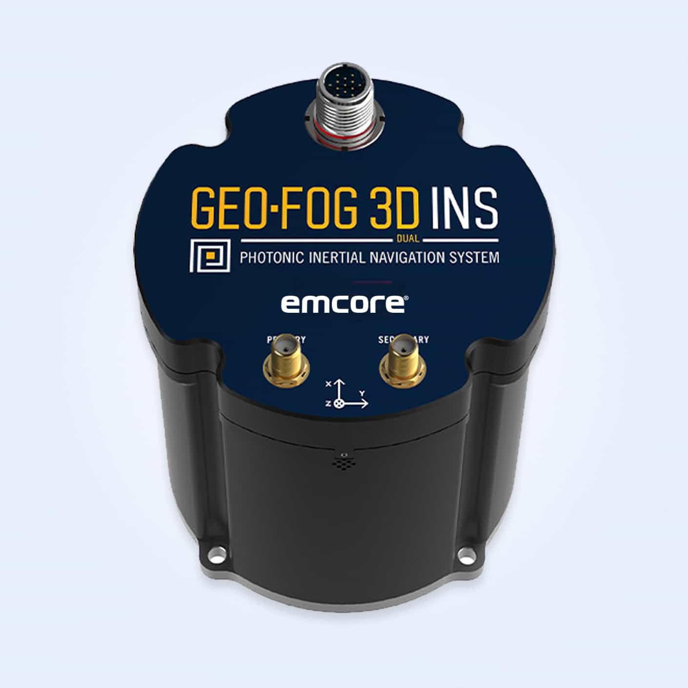

GEO-FOG 3D Dual INS
The GEO-FOG 3D Dual Inertial Navigation System (INS) is a precise and reliable solution for military applications. Built around EMCORE’s cutting-edge fiber optic gyro (FOG)-based P-1750 inertial measurement unit (IMU), this system employs exclusive photonic integrated chip (PIC) technology to enhance performance and durability. Featuring dual GNSS antennas on a fixed PTK baseline, the GEO-FOG 3D Dual offers superior heading, pitch, and roll accuracy, making it ideal for both static and dynamic scenarios where single antenna systems fall short.
Key Features:
- High Data Rate: Delivers data 10 times faster than competing systems, ensuring real-time responsiveness.
- Advanced Sensor Fusion: Employs innovative algorithms for dependable and precise navigation across diverse conditions.
- Six Degrees of Freedom (DoF) IMU: Integrates gyros and accelerometers for comprehensive motion tracking.
- Photonic Integrated Chip Technology: Utilizes a planar optic chip to replace individual fiber components, increasing reliability and repeatability.
- DSP Technology: Digital signal processing (DSP) enhances performance by reducing temperature-sensitive drift and rotation errors.
- North-Seeking Gyrocompass: Provides accurate heading information at startup and in low dynamic conditions.
- Embedded Trimble GNSS Receiver: Supports GPS, GLONASS, GALILEO, and BeiDou, offering up to 8 mm positioning accuracy.
Applications:
- Positioning, Stabilization, Navigation, and Control: Ensures precise navigation for both manned and unmanned systems, & accurate georeferencing for targeting and surveillance, maintaining platform stability in dynamic conditions
- Autonomous Systems: Ideal for unmanned aerial and ground vehicles requiring high-accuracy guidance.
- IMU and GPS/INS Integration: Enhances system performance in complex environments.
- Georeferencing and Land Surveying: Supports detailed mapping and terrain analysis.
Optional Developer Kit:
To facilitate integration and customization, a developer kit is available, providing comprehensive support for application-specific requirements.