Showcase your capabilities
If you design, build or supply Aerial Cameras, create a profile to showcase your capabilities and connect with visitors who have an active requirement for your solutions.


Source aerial camera systems from leading manufacturers and suppliers engineered for ISR operations, surveillance, and targeting in contested environments. Aerial camera solutions integrate advanced imaging sensors, stabilization systems, and onboard processing to deliver high-resolution intelligence across diverse operational environments, including UAVs, helicopters, and fixed-wing platforms.
Read the Technology Overview
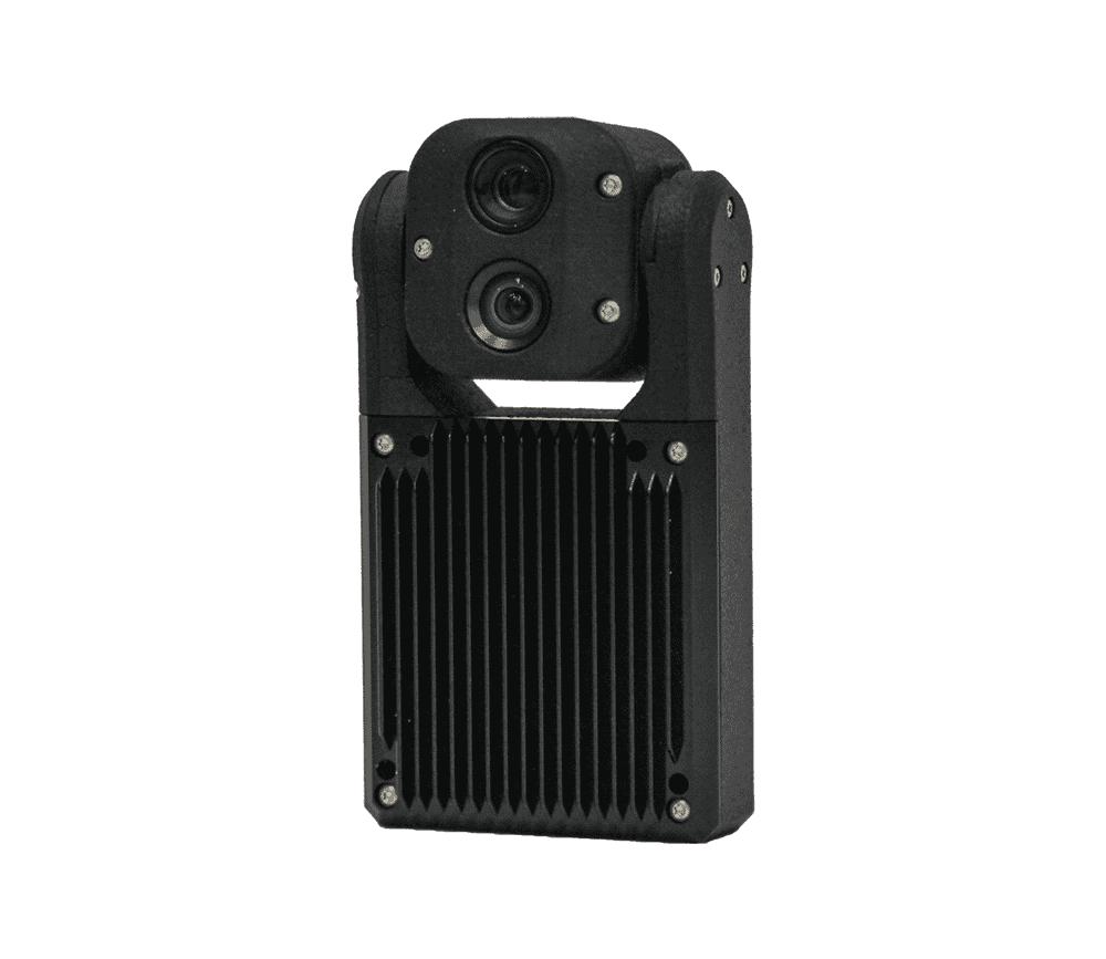
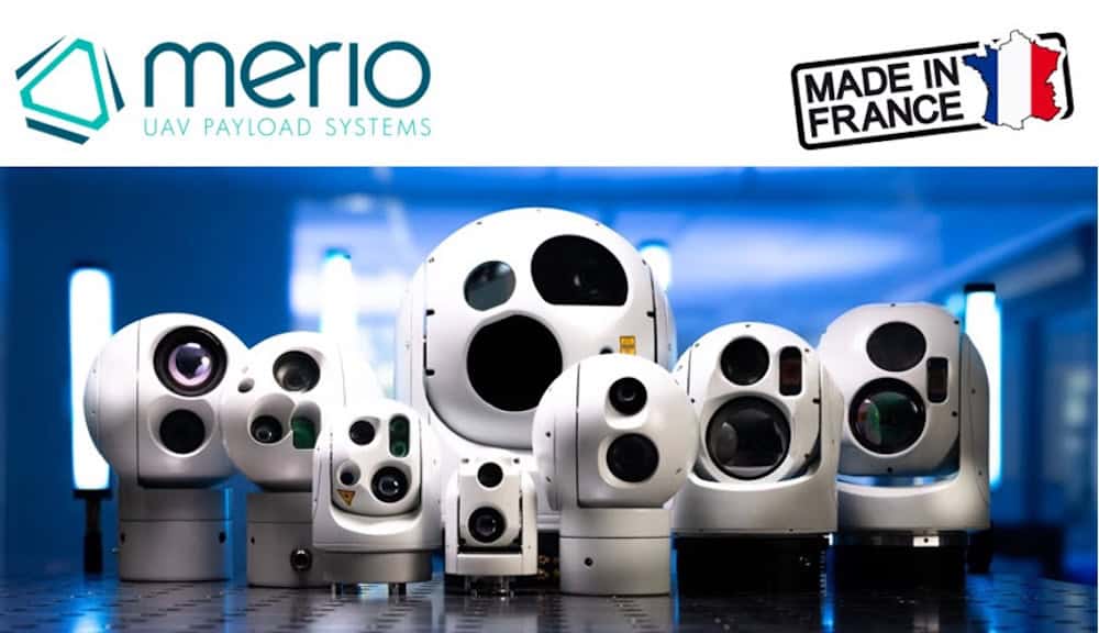
Cutting-Edge Visible & Thermal Imaging Camera Gimbal Payloads for Mission-Critical Applications

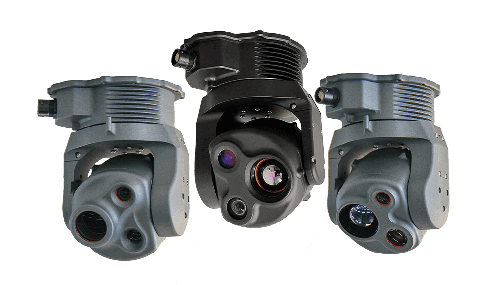
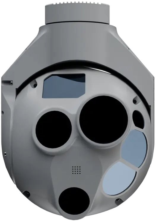
Gyro-Stabilized ISR Imaging Gimbal Systems for Tactical UAVs, Unmanned Systems, & Counter-UAS Platforms

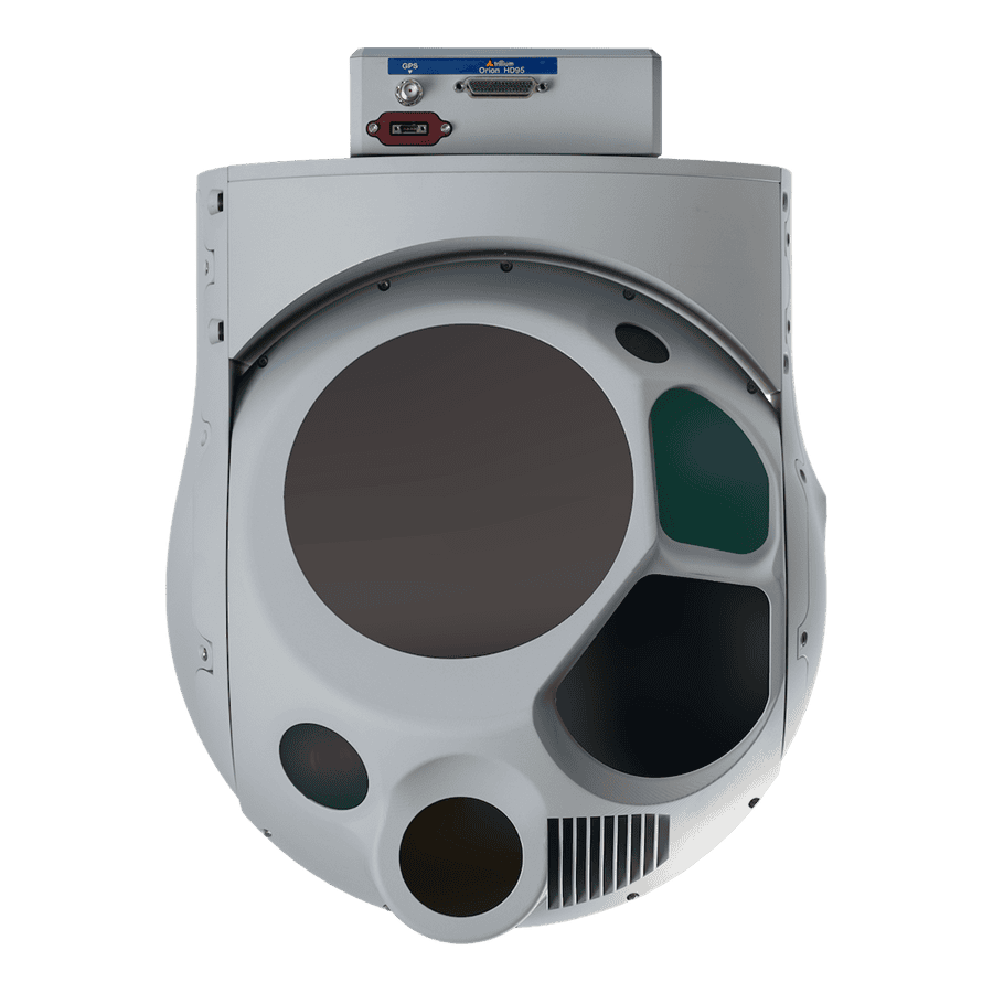
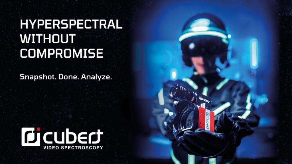
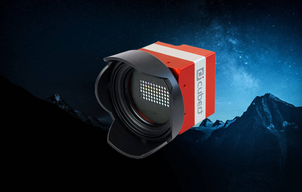
State-Of-The-Art Hyperspectral Imaging Cameras for Mission-Critical Applications
If you design, build or supply Aerial Cameras, create a profile to showcase your capabilities and connect with visitors who have an active requirement for your solutions.

Aerial camera systems capture, process, and transmit visual and spectral data in real time. These airborne camera systems integrate electro-optical systems, thermal imaging cameras, hyperspectral imaging systems, and multispectral cameras to support intelligence, surveillance, and reconnaissance across complex deployment scenarios.
Engineered for operation in contested environments, aerial cameras are optimized for SWaP constraints, high-vibration platforms, and variable environmental conditions. Integration with inertial measurement units, GPS modules, and navigation systems ensures precise georeferencing and stable image acquisition during dynamic flight profiles.
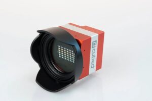
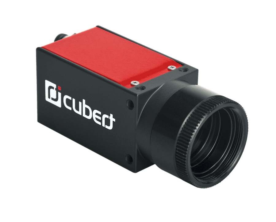
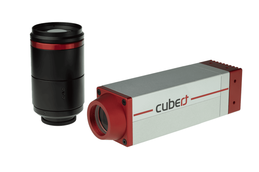
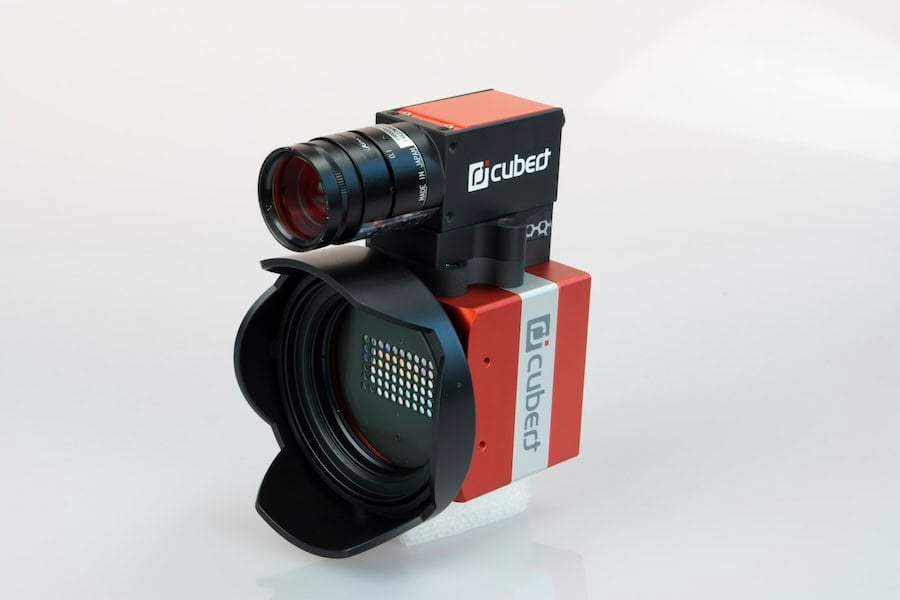
ULTRIS X20 by Cubert
Aerial cameras provide persistent ISR coverage for battlefield surveillance, enabling real-time situational awareness and target acquisition in contested environments. Systems support wide-area monitoring and long-range surveillance with integrated EO/IR systems.
Airborne camera systems enhance border security monitoring by delivering continuous imaging for perimeter security and intrusion detection. Integration with AI camera systems enables automated threat detection and tracking.
Thermal imaging systems and low-light cameras support SAR operations by detecting heat signatures and movement in low-visibility conditions. These systems improve response time and operational effectiveness in emergency deployment scenarios.
Aerial imaging systems support maritime surveillance by monitoring coastal regions, shipping lanes, and offshore assets. High-resolution sensors enable the detection of small vessels and anomalous activity.
Airborne cameras are deployed for infrastructure inspection, including powerline inspection and pipeline inspection. High-resolution imaging and photogrammetry support asset assessment and maintenance planning.
Thermal sensors and multispectral imaging systems enable wildfire monitoring and forest fire detection. These capabilities support environmental monitoring and rapid response coordination.
Electro-optical cameras provide high-resolution visible-spectrum imaging for daylight ISR missions. These systems are optimized for clarity, zoom capabilities, and long-range identification.
Infrared cameras and thermal imaging cameras detect heat signatures for night operations and obscured environments. These systems are essential for force protection and covert surveillance.
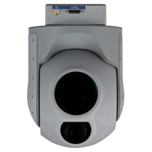
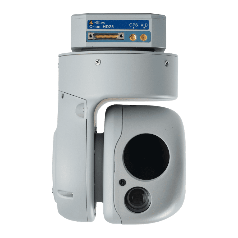
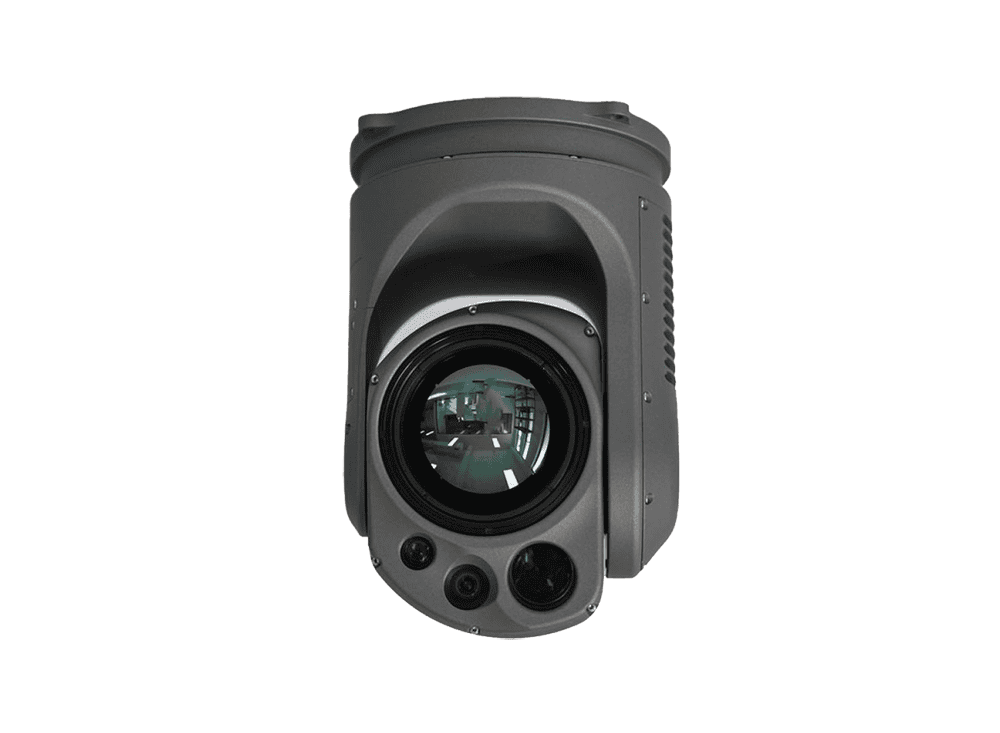
HD80 from Trillium Engineering
Multispectral cameras and hyperspectral systems capture data across multiple wavelengths for advanced analysis. These systems support geospatial intelligence collection and material identification.
AI camera systems integrate machine learning modules and onboard processors for real-time analytics. Capabilities include object detection, classification, and automated tracking in ISR operations.
Long-range camera systems are designed for extended standoff ISR missions. These systems combine zoom lenses, advanced stabilization, and high-resolution sensors for target identification at a distance.
An aerial camera system comprises imaging sensors, optical lenses, stabilization mechanisms, onboard processors, and communication modules. Core subsystems include CMOS sensors or CCD sensors for high-resolution capture, infrared sensors for thermal detection, and AI processors for onboard analytics.
Gimbal stabilizers and stabilization systems maintain image clarity under motion, while data links and video transmitters enable real-time ISR data dissemination. Control systems and software interfaces support payload integration with mission systems and C4ISR architectures.
Aerial camera systems are designed for seamless integration with UAV, helicopter, and fixed-wing camera systems. Payload interface compatibility ensures integration with mission systems and control systems.
Key subsystems include:
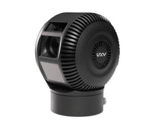
Optroxa GMB-450 by UXV Technologies
Performance of aerial camera systems is evaluated based on resolution, spectral range, stabilization accuracy, and data transmission latency. Systems must maintain measurement accuracy under vibration, altitude variation, and extreme temperatures.
SWaP constraints are critical for UAV and UAS cameras, necessitating compact, lightweight designs without compromising imaging performance. Cooling systems and thermal management ensure reliability during extended ISR missions.
Aerial camera systems for defense applications are designed in alignment with relevant military and industry standards, including:
Compliance ensures interoperability across platforms and mission systems while supporting deployment in multinational ISR operations.
Procurement teams evaluate aerial camera systems based on mission requirements, integration compatibility, and operational environments. Key considerations include payload weight, power consumption, data link compatibility, and onboard processing capabilities.
Deployment scenarios range from tactical UAV operations to persistent ISR coverage from manned aircraft. Systems must support rapid integration, scalability, and interoperability with existing C4ISR infrastructure.
Aerial camera systems continue to evolve with advancements in AI processors, imaging sensors, and data links, enabling enhanced ISR capabilities across defense, law enforcement surveillance, and public safety monitoring missions.


 Searching Companies & Products


 Subscribe to the Weekly eBrief
The latest engineering and technical developments straight to your inbox - join thousands of engineers who receive it.
Subscribe to the Weekly eBrief
The latest engineering and technical developments straight to your inbox - join thousands of engineers who receive it.