Showcase your capabilities
If you design, build or supply Satellite Navigation, create a profile to showcase your capabilities and connect with visitors who have an active requirement for your solutions.


Select military satellite navigation systems from trusted manufacturers and suppliers delivering secure, resilient positioning, navigation, and timing for defense programs. Military satellite navigation enables assured PNT across land, air, maritime, space, and joint operations, supporting mission-critical navigation, ISR synchronization, precision strike, and asset tracking in contested and GNSS-denied environments.
Read the Technology Overview

Advanced Inertial Navigation Systems (INS) for Reliable Navigation in Challenging Operational Environments

Cutting-Edge Inertial Solutions for High-Accuracy Navigation & Positioning in GPS-Denied Environments

Network Synchronization Technology & Assured PNT Solutions for Defense Systems & Mission-Critical Infrastructure

Advanced Solutions for Defense Modernization: Propulsion, Sensors, Communication & Augmented Reality Systems
Tactical Grade IMU, GPS/INS, Weapon Orientation Solutions
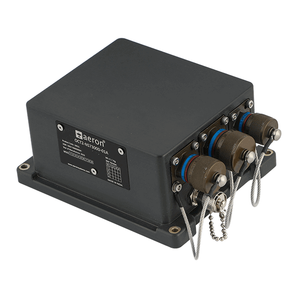
Assured Position, Navigation and Timing (PNT) Solutions for Military and Defense
Reliable, Resilient and Secure Satellite Communications & Assured PNT Solutions for Mission-Critical Applications
Advanced Navigation Solutions for Mission-Critical Defense & Aerospace Applications
Ultra-Reliable Positioning, Navigation & Timing (PNT) Solutions for Aerospace & Security Applications

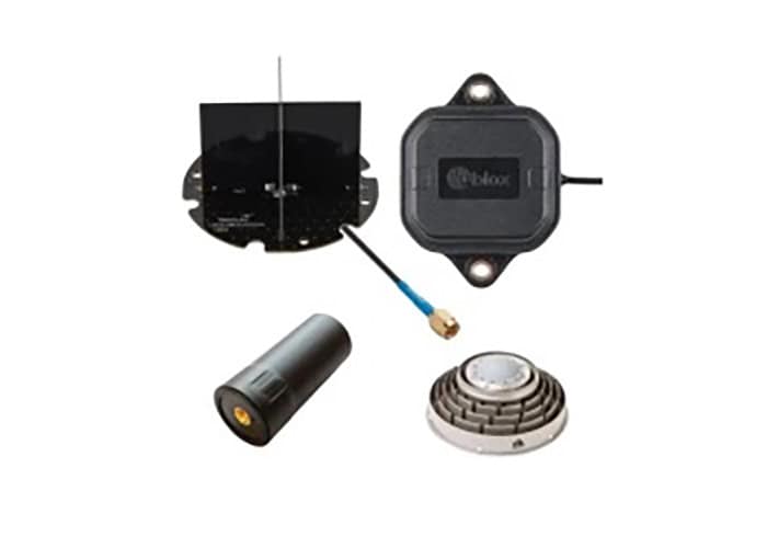
GNSS & Navigation Testing Simulators - Antenna & Interference Simulation
If you design, build or supply Satellite Navigation, create a profile to showcase your capabilities and connect with visitors who have an active requirement for your solutions.

Satellite navigation delivers precise positioning, navigation, and timing for platforms, personnel, and networked systems. Military satellite navigation must provide assured PNT (APNT) in the face of electronic warfare, cyber threats, and kinetic disruption.
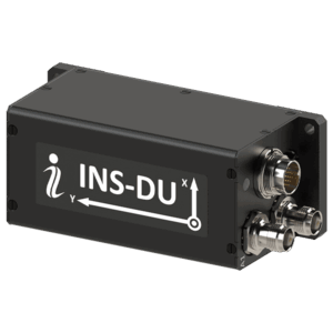
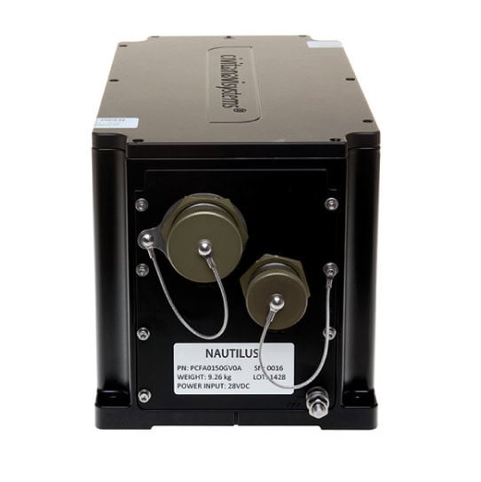
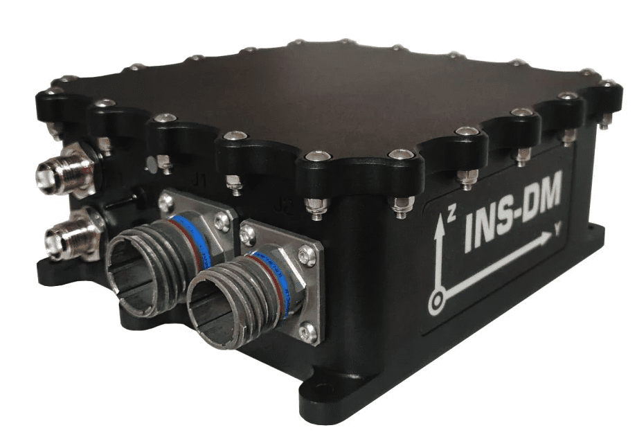
INS-DU dual-antenna GNSS-aided INS by Inertial Labs.
Defense-grade systems are engineered for resilience and interoperability, integrating encrypted signals, anti-jamming antennas, inertial sensors, cryptographic modules, and hardened enclosures to operate in GNSS-denied environments.
Satellite navigation provides accurate target coordinates and mid-course updates for precision-guided munitions. Secure PNT enhances strike accuracy, reduces collateral damage, and enables coordinated fires in joint operations.
Battlefield situational awareness systems rely on geolocation technology, such as satellite positioning systems, to track friendly forces in real time. Accurate location data supports command decision-making, deconfliction, and operational synchronization.
Unmanned aerial vehicle navigation and unmanned surface vehicle navigation systems depend on resilient satellite navigation combined with inertial sensors. These platforms require anti-jamming GNSS antennas and tightly coupled INS integration to maintain performance in contested airspace or littoral zones.
Intelligence, surveillance, and reconnaissance platforms use satellite navigation technology to georeference imagery and sensor data. Accurate timing modules also synchronize distributed ISR systems and communication networks.
Naval navigation systems integrate satellite navigation with gyrocompasses and inertial measurement units to provide precise positioning at sea. Multi-GNSS and dual-band GNSS receivers enhance reliability in maritime environments.
Combat search-and-rescue missions require secure satellite navigation systems to rapidly locate personnel and recovery assets. Asset trackers and emergency beacons leverage satellite-based augmentation systems to improve accuracy and reliability.
Beyond navigation, satellite navigation technology supports asset tracker deployments across supply chains and forward operating bases. Timing and positioning data enable logistics visibility, fleet management, and secure tracking of high-value equipment.

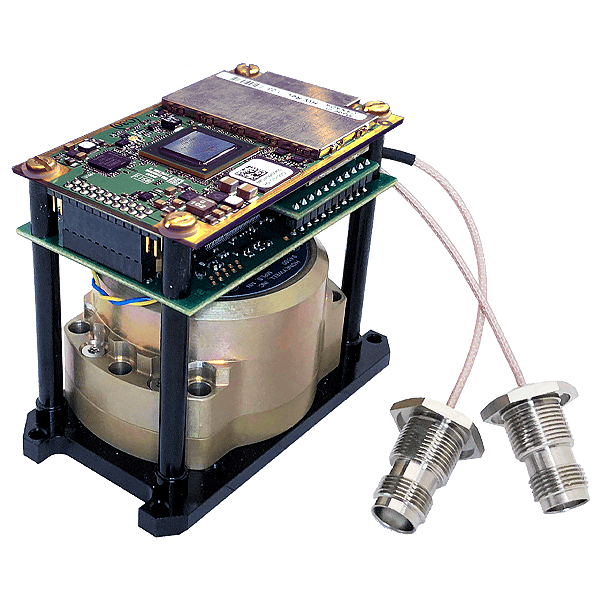
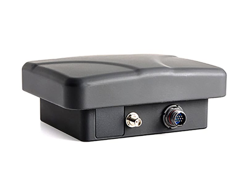
HGuide o480 Inertial/GNSS Navigator satellite navigation system by Honeywell Aerospace Technologies.
Military GNSS receiver technology often supports multiple GNSS constellations and frequency bands. Multi-GNSS capability improves availability, enhances RTK positioning accuracy, and increases resilience against single-system disruption.
Secure GNSS solutions incorporate anti-jam antennas, controlled reception pattern antennas, and embedded cryptographic modules. These systems protect against interference and spoofing while maintaining signal integrity in electronic warfare environments.
Hybrid satellite navigation systems combine GNSS receivers with inertial navigation systems and inertial measurement units. Tightly coupled architectures enable continued operation during temporary signal loss and improve accuracy in urban or subterranean environments.
Real-time kinematic GNSS systems provide centimeter-level positioning for specialized defense applications. RTK GNSS supports precision landing, artillery positioning, and advanced surveying tasks.
Dedicated timing modules deliver precise synchronization for communications networks, radar, and command systems. Positioning, navigation, and timing systems ensure coordinated operations across distributed platforms.
Satellite navigation systems offer global coverage and high accuracy, making them essential for most defense platforms. However, reliance on satellite signals introduces vulnerabilities to jamming, spoofing, and kinetic threats to satellite systems.
Inertial navigation systems provide autonomy from external signals but accumulate drift over time. As a result, most modern military navigation systems employ tightly integrated GNSS and INS architectures to balance accuracy and resilience.
APNT strategies incorporate terrestrial beacons, signals of opportunity, and other PNT technologies to supplement satellite navigation. These layered approaches enhance survivability in GNSS-denied navigation environments.
Military satellite navigation technology must be evaluated based on accuracy, integrity, time-to-first-fix, signal-acquisition sensitivity, and environmental ruggedness. Defense-grade systems often require compliance with environmental and electromagnetic standards, including MIL-STD-810 for environmental engineering and MIL-STD-461 for electromagnetic compatibility.
Interoperability within NATO operations may require adherence to STANAG agreements governing the exchange of positioning, navigation, and timing data. Secure implementations may also require FIPS 140-2 validated cryptographic modules for handling encrypted signals.
System integrators should consider antenna placement, GNSS bands, multi-frequency performance, and integration with ISR systems, missile guidance systems, and naval platforms. Ruggedized enclosure design, power consumption, and size, weight, and power constraints remain critical factors in airborne and unmanned deployments.

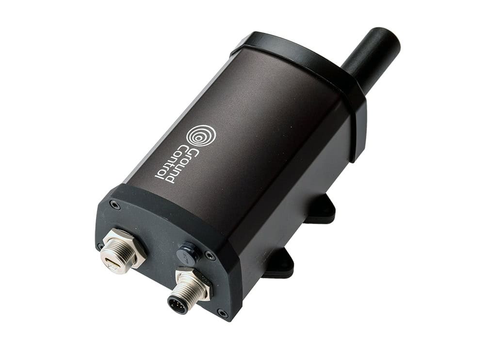
RTK GNSS Antennas by GNSS.store.
Defense satellite navigation technology continues to evolve toward multi-layered resilience. Dual-band GNSS receivers, advanced signal processing, and adaptive anti-jamming techniques are improving performance in contested environments.
Greater emphasis is being placed on secure GNSS architectures, multi-constellation operation, and integration with emerging satellite systems. At the same time, non-navigational applications such as asset tracking, network synchronization, and timing distribution are expanding the operational role of satellite-based PNT.
As militaries modernize C4ISR, missile guidance, and unmanned systems, satellite navigation remains a foundational enabling technology. Resilient navigation systems, secure PNT technologies, and integrated satellite navigation system architectures will continue to shape defense capability across land, air, maritime, space, and joint domains.


 Searching Companies & Products


 Subscribe to the Weekly eBrief
The latest engineering and technical developments straight to your inbox - join thousands of engineers who receive it.
Subscribe to the Weekly eBrief
The latest engineering and technical developments straight to your inbox - join thousands of engineers who receive it.