Showcase your capabilities
If you design, build or supply Survey USV, create a profile to showcase your capabilities and connect with visitors who have an active requirement for your solutions.


Source survey USV manufacturers and suppliers providing unmanned surface vehicle platforms for hydrographic survey, seabed mapping, maritime monitoring, and infrastructure inspection. Survey USVs support defense organizations, emergency services, security agencies, and maritime operators by enabling precise data collection in shallow, hazardous, or restricted waters while reducing personnel risk.
Read the Technology Overview
Cutting-Edge Defense Technologies Empowering The Warfighter On The Modern Battlefield

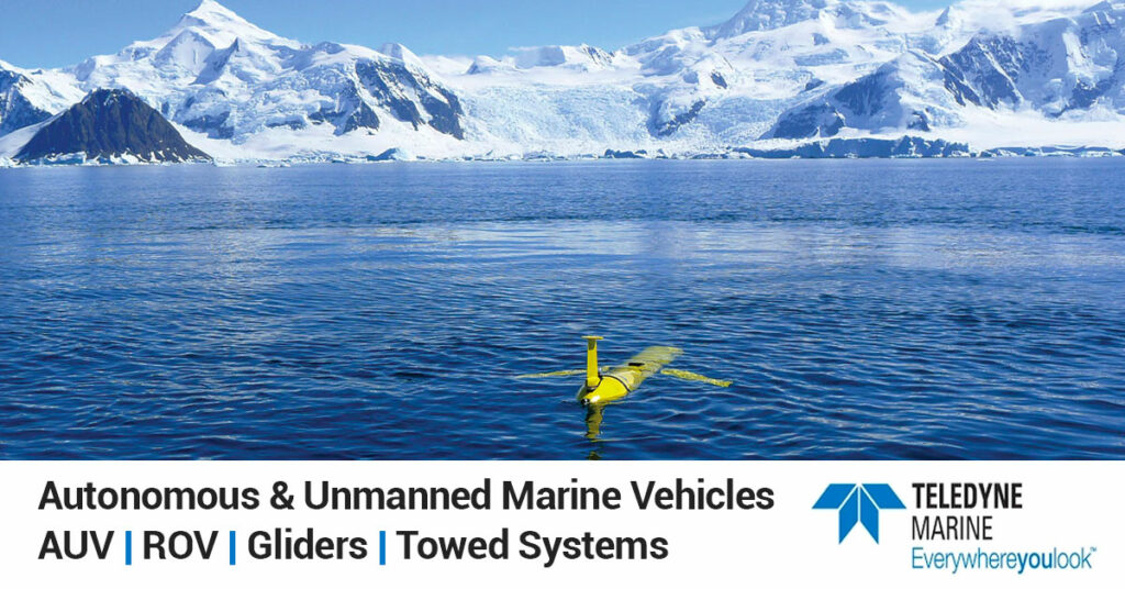
Imaging Systems, Rugged Underwater Sensors, Autonomous & Unmanned Vessels for Defense & ISR
If you design, build or supply Survey USV, create a profile to showcase your capabilities and connect with visitors who have an active requirement for your solutions.

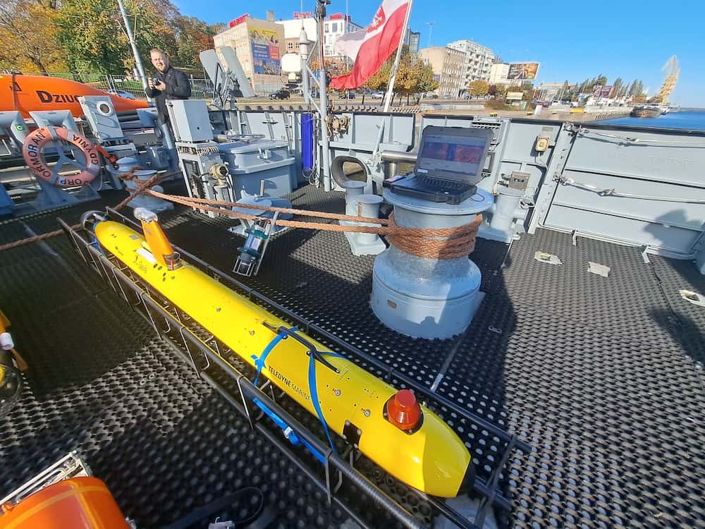
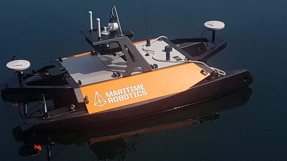
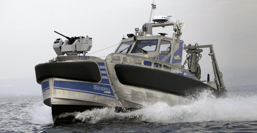
Survey USVs are robotic marine platforms that conduct hydrographic and bathymetric surveys without onboard crews.
They use GNSS receivers and inertial navigation systems for precise positioning. Sonar payloads, such as multibeam echo sounders and side-scan sonar, collect detailed seabed data. Onboard communication systems transmit data to operators in real time.
Electric propulsion and lithium battery systems provide efficient, low-noise operation. SATCOM or radio communication links allow remote control and data transfer.
Survey USVs support hydrographic surveying and bathymetric surveys by carrying sonar payloads that measure water depth and map seabed terrain. These platforms enable accurate charting in coastal waters, ports, and rivers.
Unmanned surface vehicles can conduct detailed harbor survey missions to support nautical charting, infrastructure inspection, and navigation safety. Their compact size allows safe operation within congested port environments.
Survey USVs are particularly effective for shallow-water survey missions where crewed vessels risk grounding. Autonomous navigation systems enable safe and efficient mapping in coastal and estuarine environments.
Multibeam and side-scan sonar systems mounted on survey USVs generate high-resolution maps of the seafloor. These capabilities support maritime infrastructure inspection, pipeline monitoring, and coastal engineering projects.
Survey USVs equipped with sonar systems and underwater cameras can inspect subsea cables, pipelines, and offshore installations. The systems collect data while maintaining safe standoff distances from sensitive structures.
Unmanned survey vessels can map riverbeds and inland waterways for flood monitoring, navigation management, and environmental assessment. Autonomous operation allows rapid deployment in remote or hazardous locations.
Survey USVs support coastal mapping and environmental monitoring missions. These platforms help track shoreline changes, sediment movement, and maritime hazards.
Compact robotic boats are designed for shallow water bathymetric survey missions in rivers, lakes, and coastal zones. Their lightweight design allows rapid transport and deployment by small teams.
These platforms feature modular payload bays that enable integration of different sonar systems, cameras, and sensor packages. The modular approach allows operators to configure the vessel for specific hydrographic or inspection missions.
Long-endurance autonomous vessels are optimized for extended missions through efficient electric propulsion systems, lithium battery systems, and solar power integration. These systems support offshore survey operations and persistent monitoring.
High-speed unmanned survey vessels can cover large survey areas quickly while maintaining accurate positioning. These systems are often used for rapid hydrographic survey and coastal mapping operations.
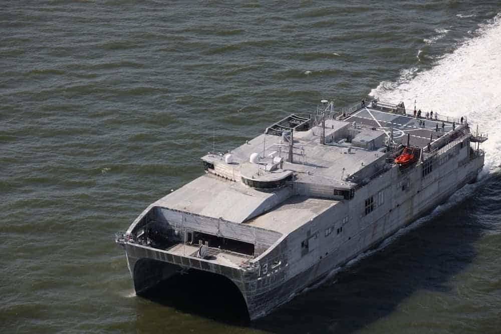
Traditional hydrographic survey vessels offer large payload capacity and onboard processing capabilities, but require trained crews and incur higher operational costs. Uncrewed survey vessels offer lower-risk operations and can be deployed in hazardous or restricted waters without exposing personnel.
Compared with crewed platforms, remotely-operated and autonomous surface vehicles provide greater operational flexibility and scalability. Multiple USVs can operate simultaneously to increase coverage during large survey missions.
While crewed vessels remain essential for complex offshore operations, survey USVs are increasingly used to complement traditional survey fleets by performing repetitive or high-risk data collection tasks.
Survey USV platforms used in defense and government operations must comply with relevant navigation, hydrographic, and communication standards. Hydrographic data collection typically aligns with the International Hydrographic Organization’s accuracy standards for bathymetric surveys.
Military and security deployments may also require compliance with NATO STANAG interoperability standards and MIL-STD requirements for electronic systems, environmental resilience, and communication security. These standards help ensure that unmanned surface vehicles can integrate effectively with broader maritime command, control, and monitoring systems.


 Searching Companies & Products


 Subscribe to the Weekly eBrief
The latest engineering and technical developments straight to your inbox - join thousands of engineers who receive it.
Subscribe to the Weekly eBrief
The latest engineering and technical developments straight to your inbox - join thousands of engineers who receive it.