


Showcase your capabilities
If you design, build or supply Assured PNT (A-PNT), create a profile to showcase your capabilities and connect with visitors who have an active requirement for your solutions.




Assured PNT (A-PNT) provides trusted positioning, navigation, and timing data for military operations when GNSS is degraded, disrupted, manipulated, or unavailable. Architectures typically combine protected satellite signals with inertial sensors, alternative navigation sources, resilient clocks, sensor fusion, and integrity monitoring to maintain confidence in mission-critical PNT.
This page features leading assured PNT companies with solutions for dismounted forces, aircraft, maritime platforms, autonomous systems, and precision weapons.
Read the Technology Overview

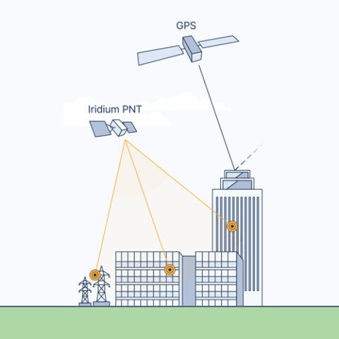


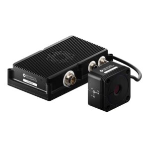
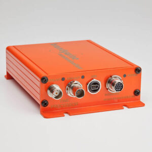
Advanced Inertial Navigation Systems (INS) for Reliable Navigation in Challenging Operational Environments

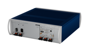
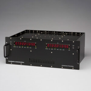
Network Synchronization Technology & Assured PNT Solutions for Defense Systems & Mission-Critical Infrastructure

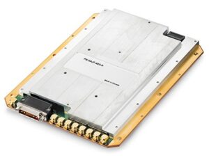
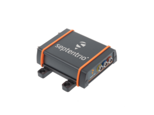
Assured Position, Navigation and Timing (PNT) Solutions for Military and Defense

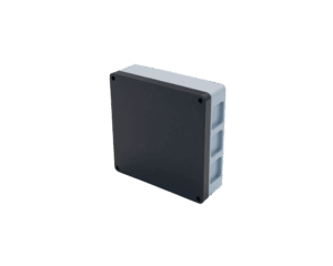
Anti-Jam GPS-GNSS Devices, Tactical Data Links, Telemetry Systems, Electronic Warfare Equipment & Flight Termination Systems

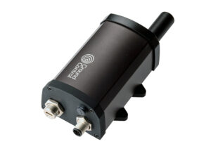
Reliable, Resilient and Secure Satellite Communications & Assured PNT Solutions for Mission-Critical Applications

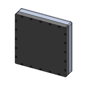
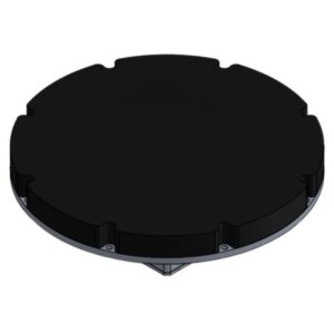
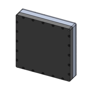
CRPA-Based GNSS Anti-Jamming & Interference Mitigation Solutions for Ultra-Reliable PNT Protection

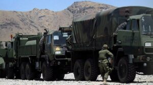
High-Performance Fiber Optic and MEMS Inertial Sensors & Navigation Systems

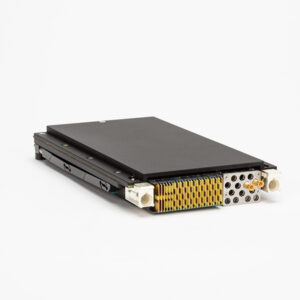
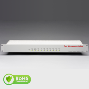
Advanced Precision Timing and Frequency Synchronization Solutions for Mission-Critical Networks and Systems

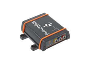
Assured PNT Solutions for Mission Critical Military, Defense & Government Applications

If you design, build or supply Assured PNT (A-PNT), create a profile to showcase your capabilities and connect with visitors who have an active requirement for your solutions.

Assured Positioning, Navigation, and Timing (A-PNT) provides defense forces with trusted position, navigation, and timing information when satellite navigation is degraded, disrupted, manipulated, or unavailable. Assured PNT can combine protected satellite signals with complementary sensors, algorithms, clocks, and alternative navigation sources to maintain mission-critical PNT data.
Modern assured PNT solutions support maneuver, command and control, targeting, communications, autonomy, and sensor synchronization across military domains. Their purpose is not simply to provide position or navigation data, but to maintain confidence in the accuracy, integrity, and availability of that data and identify when individual sources or the combined solution have become unreliable.
Reliable positioning enables personnel, vehicles, aircraft, vessels, and autonomous platforms to determine their location within a common operational picture. A-PNT systems can compare multiple inputs and detect inconsistencies, reducing reliance on degraded, erroneous, or deceptive position data.
A-PNT navigation supports route following, formation maneuver, autonomous guidance, mission execution, and recovery functions. When Global Navigation Satellite System (GNSS) signals are interrupted or unreliable, inertial sensors, vision, terrain references, radio-frequency signals, velocity measurements, and other aiding sources can help preserve a usable navigation solution.
Defense systems depend on precise timing as well as position. Communications networks, radars, distributed sensors, electronic warfare systems, and data links may require synchronized clocks, making resilient timing and clock holdover important elements of assured PNT when external timing references are lost.
Assured PNT architectures are designed to maintain trusted data through jamming, spoofing, signal obstruction, and loss of satellite navigation. This typically requires multiple independent or complementary sources, integrity monitoring, sensor fusion, source exclusion, and graceful degradation rather than reliance on a single navigation technology.
Military GNSS remains an important source of accurate positioning and timing. Protected military signals such as GPS M-Code are designed to provide improved resistance to interference and spoofing compared with legacy civil GPS signals, while anti-jam antennas and advanced receiver processing can further improve access to satellite-based PNT.
Inertial Navigation Systems (INS) use accelerometers and gyroscopes to estimate position, velocity, and attitude without continuous dependence on external signals. They are widely used as a complementary navigation source when GNSS becomes unavailable, although errors accumulate over time, so inertial systems are often combined with additional aiding data.
Alternative navigation sources can provide independent or complementary measurements when satellite signals are degraded or denied. These may include visual navigation, terrain referencing, celestial navigation, radio-frequency signals, radar, velocity sensors, magnetic references, acoustic sources, and signals of opportunity.
Sensor fusion combines measurements from multiple PNT sources to produce a more resilient navigation solution. Integrity monitoring evaluates the consistency, quality, and reliability of those inputs and the resulting solution, allowing degraded or misleading data to be identified, rejected, isolated, or given reduced weighting.
Assured timing systems can combine GNSS timing with high-stability clocks and alternative timing references. Clock holdover enables systems to maintain synchronization for a period after an external timing source is lost. Holdover performance depends on clock stability, elapsed time, environmental conditions, and required timing accuracy.
Anti-jam and anti-spoofing technologies help protect access to trusted satellite navigation. Techniques can include Controlled Reception Pattern Antennas (CRPAs), adaptive beamforming and nulling, interference detection, signal authentication, receiver processing, and comparison with independent navigation sources.
Land forces use A-PNT for vehicle navigation, situational awareness, dismounted maneuver, robotic mobility, and coordinated operations. Mounted assured PNT systems can also distribute trusted position and timing data to mission command, fires, communications, sensors, and other vehicle subsystems.
Artillery and mission systems depend on accurate position, orientation, and timing for weapon emplacement, target processing, fire control, and coordination. Resilient PNT helps maintain these functions when GNSS availability or reliability is reduced and limits dependence on corrupted navigation data.
Military aircraft use PNT for navigation, flight control, mission management, sensor cueing, approach and landing, and weapons employment. Combining satellite navigation with inertial and alternative aiding sources can maintain navigation continuity when terrain masking, interference, signal obstruction, or deliberate attack affects GNSS.
Unmanned aircraft, ground vehicles, surface vessels, and underwater systems require reliable navigation with minimal operator intervention. Multi-sensor A-PNT architectures can support route following, mapping, formation operations, obstacle avoidance, mission execution, and recovery when a preferred navigation source is compromised, while integrity monitoring helps prevent reliance on misleading PNT data.
Naval platforms use PNT for transit, maneuver, collision avoidance, mission planning, sensor alignment, and coordinated operations. Subsurface platforms require greater independence from GNSS because satellite navigation signals are generally unavailable underwater, increasing reliance on inertial navigation, Doppler Velocity Logs (DVLs), acoustic or environmental references, and periodic position updates.
Guided weapons may combine satellite navigation with inertial measurement and other terminal or mid-course references. Assured PNT reduces dependence on a single external signal and helps guidance systems maintain a valid navigation solution during an engagement when satellite signals are degraded or denied.
Space and missile systems can require resilient navigation and timing under high dynamics, limited sensor availability, changing signal geometry, and electronic interference. The appropriate A-PNT architecture depends on mission phase, signal access, accuracy and integrity requirements, platform constraints, and the availability of independent navigation references.
Military assured PNT architectures are designed around several overlapping threats to satellite and non-satellite navigation sources.
Effective A-PNT therefore depends on both resilient sources and the ability to detect anomalies, isolate unreliable inputs, and determine whether incoming PNT information should be trusted.
Qualification and integration requirements vary by platform, but several U.S. defense standards and policies commonly shape assured PNT engineering, testing, and procurement.
For assured PNT companies and system integrators, applicable requirements must be matched to the platform, mission, interfaces, security needs, and acquisition specification rather than treated as a universal checklist.
Development increasingly focuses on independent or complementary sources that extend navigation and timing performance when GNSS is unreliable.
Army A-PNT and wider defense development increasingly favor layered, modular architectures that combine protected GNSS with independent sensing, alternative navigation, resilient timing, and integrity assessment. This supports assured PNT across a broader range of contested operating conditions while reducing reliance on any single source.


 Searching Companies & Products


 Subscribe to the Weekly eBrief
The latest engineering and technical developments straight to your inbox - join thousands of engineers who receive it.
Subscribe to the Weekly eBrief
The latest engineering and technical developments straight to your inbox - join thousands of engineers who receive it.