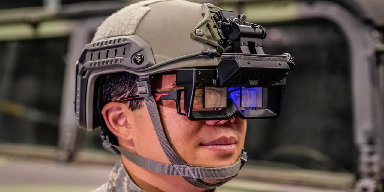
Military operations require precise positioning, especially in environments where GNSS signals are compromised due to jamming, spoofing, or line-of-sight (LOS) obstructions.

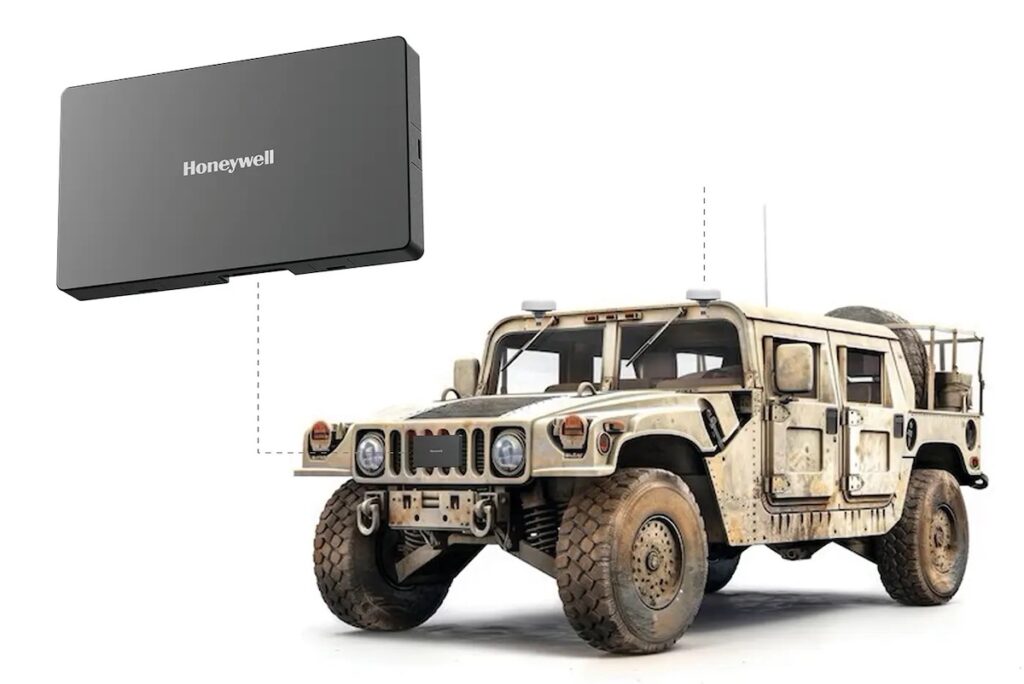
Honeywell has developed an innovative solution to address this challenge by integrating its HGuide n580 INS/GNSS navigator with the HRVS (Honeywell Radar Velocity System), designed specifically for land vehicles operating in GNSS-denied environments.
Below, Darren Fisher, Sales Manager for HGuide Inertial Navigation Solutions, provides more details about the HGuide n580 and the HRVS, as well as expanding on their integration.
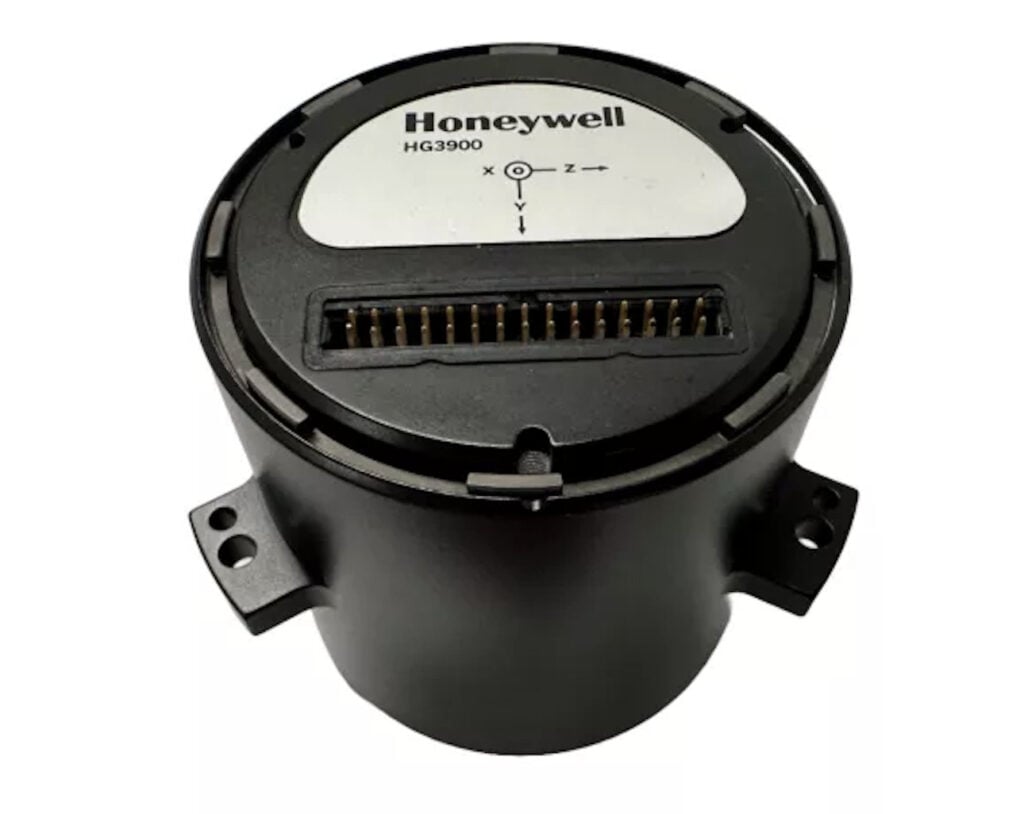
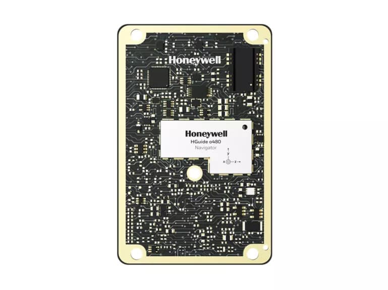
The HGuide n580 is equipped with Honeywell’s cutting-edge technology, including an HG4930 inertial measurement unit (IMU) and a triple-frequency, multi-GNSS real-time kinematic (RTK) receiver.
Honeywell’s sensor fusion engine combines data from these components to deliver accurate position, velocity, angular rate, linear acceleration, roll, pitch, and heading information in a no-license required package.
The Honeywell Radar Velocity System
Traditional odometry methods often rely on wheel-based sensors, which can be prone to errors from wheel slip or spin and are vulnerable to mechanical issues. The HRVS overcomes these limitations by providing true speed over ground (SOG) data.
Operating on the 77GHz band with low power output, the HRVS remains undetectable by adversaries, offering a discreet yet robust solution that enhances size, weight and power with cost (SWAP-C) efficiency.
The integration of HRVS with the HGuide n580 simplifies installation and makes it versatile for use in both manned and autonomous vehicles. The system does not require OEM-level integration, further enhancing its adaptability.
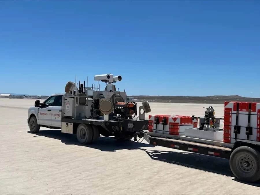
HRVS & HGuide n580 Testing & Innovation
Extensive testing has demonstrated the effectiveness of this integrated system. In a 13km journey at typical driving speeds, the GNSS-denied HGuide n580 + HRVS solution maintained a position error of less than 0.16% of the distance traveled when compared to a GNSS-enabled reference system.

During the test, GNSS was disabled after 2km to simulate a jamming event. From that point, the system relied on data from the internal HG4930 IMU and HRVS velocity sensor, typically keeping position error below 20m over the remaining 11km without GNSS signal.
This innovative approach ensures continuous operation and provides a reliable alternative when traditional satellite-based navigation methods are unavailable.
While GNSS receiver jamming and spoofing mitigation techniques have improved, they can still be overcome by powerful or swarmed jamming signals and are ineffective in heavily urban or forested areas.
Honeywell’s integration of HRVS with the HGuide n580 offers high accuracy, reliability, and adaptability in challenging environments. The solution is ideal for light military and unmanned platforms that might lose GNSS signal for extended periods.
Honeywell is developing a new iteration of the HRVS sensor capable of measuring velocity at altitudes up to 1km. This advancement will enable similar navigation solutions for unmanned aerial vehicles (UAVs) operating in long-duration GNSS-denied environments, further expanding the technology’s applications in defense and aerospace sectors.
Find out more about Honeywell’s TALIN line of tactical grade land navigators for position and pointing accuracy >>