Inertial Labs, a VIAVI Solutions Inc. company, has introduced a new Visual-Aided Inertial Navigation System (VINS) designed to ensure mission continuity for Unmanned Aerial Vehicles (UAVs) operating in GPS-denied environments.
The launch addresses escalating concerns surrounding GNSS jamming and spoofing, which are increasingly impacting both commercial and military aerospace operations.
According to data from the U.S. Department of Transportation, GPS interference events are now occurring at a rate of up to 700 per day globally, with significant disruption observed in Western Europe and North America. In the final quarter of 2024 alone, over 800 interference events were recorded in Lithuanian airspace. Critical infrastructure sectors including emergency services and communications are also affected.
Positioning Without GPS
VINS enables UAVs to conduct long-range missions in the most challenging electromagnetic environments by fusing inertial data with advanced 3D vision-based positioning software from Maxar® Raptor™. Using onboard day or infrared cameras, the system applies Perspective and Point (PnP) techniques to correlate real-time imagery with Maxar Precision3D™ satellite maps, accurately estimating the UAV’s absolute 3D position without relying on GNSS.
Performance in Contested Environments
In fully denied environments, VINS maintains horizontal positioning within 35 meters, vertical accuracy within 5 meters, and velocity within 0.9 m/s of true values. Heading accuracy remains within 1 degree, and pitch/roll within 0.1 degrees. When GNSS is available, VINS achieves sub-meter horizontal accuracy, vertical accuracy within 2 meters, and velocity accuracy of 0.03 m/s, with pitch/roll deviations under 0.03 degrees.
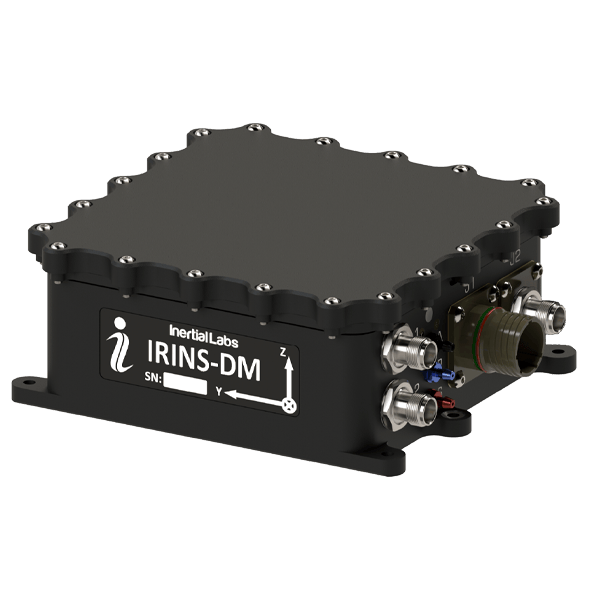
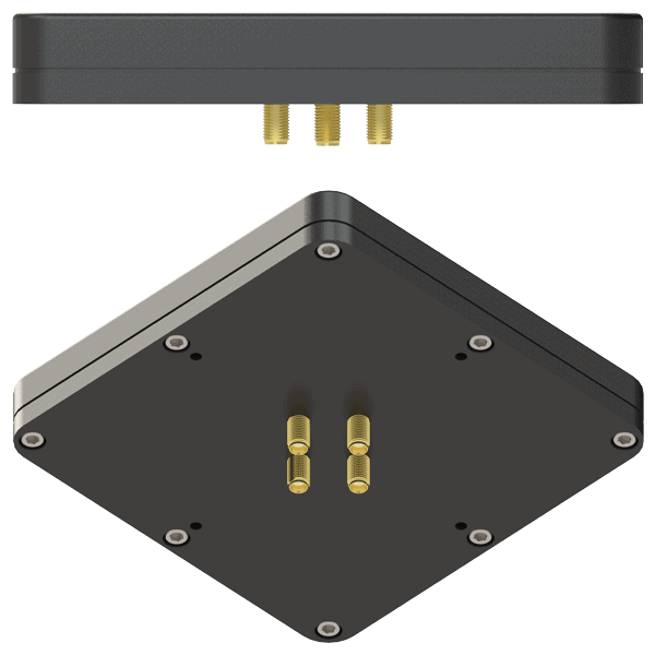
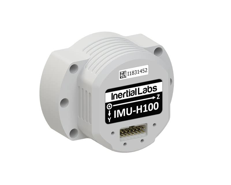
Modular Design for Fixed-Wing and Multirotor Platforms
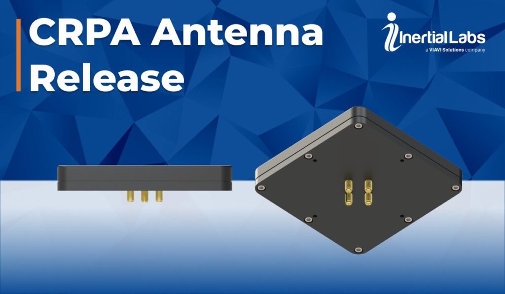
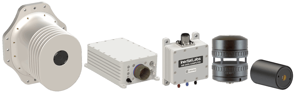
Designed for low-altitude operations, the modular VINS system includes processing and sensor modules, a GNSS or CRPA antenna, an air-data computer, and a digital windspeed sensor. It is fully compatible with both fixed-wing and rotary UAVs and can be further enhanced with a COTS radio for additional absolute positioning in GPS-denied missions. Optional Iridium LEO GNSS and M-code/SAASM receivers are also available.
Live at Joint Navigation Conference
VINS will be showcased at the 2025 Joint Navigation Conference, held June 2–5 in the Greater Cincinnati Area, at Inertial Labs’ Stand 430. VIAVI’s newly launched RSR Transcoder v2.0, a full constellation GPS simulator supporting assured PNT in D3SOE (Degraded, Denied, Disrupted Space Operational Environments), will be exhibited separately at Stand 406.
Inertial Labs and VIAVI will deliver three technical presentations at the event:
- 3D Vision-Based Positioning for Autonomous Aerial Platform Navigation and Human-in-the-Loop Reconnaissance Missions (with Maxar): Monday, June 2 at 1:50 PM ET
- Anti-Jam/Spoof Phased Array Antenna: Wednesday, June 4 at 10:50 AM ET
- Retrofitting At-Risk GPS Defense Equipment with a Multi-Orbit LEO and GEO Clock System: Wednesday, June 4 at 11:30 AM ET
Speaking of the newly released technologies, Doug Russell, Senior Vice President, Aerospace & Defense, at VIAVI commented, “VINS and the RSR Transcoder are truly groundbreaking when it comes to assured PNT in GPS-denied environments. Through strategic acquisitions, we’re uniquely able to harness resilient timing from Jackson Labs and accurate navigation from Inertial Labs, and implement these with intelligent sensor fusion, holdover and dead reckoning to ensure reliability and security as well as ease of operation.”