Military GIS Systems and Defense Geospatial Intelligence Software
Find Military GIS (Geographic Information Systems) developed and supplied by specialized defense technology companies, manufacturers, and system integrators. These advanced systems combine real-time mapping, spatial data visualization, and intelligence analysis to support mission planning, threat assessment, and decision-making across land, sea, air, and space operations.
If you design, build or supply Geographical Information Systems, create a profile to showcase your capabilities and connect with visitors who have an active requirement for your solutions.
Military GIS Systems and Defense Geospatial Intelligence Software
Overview by
Summer James
Updated:
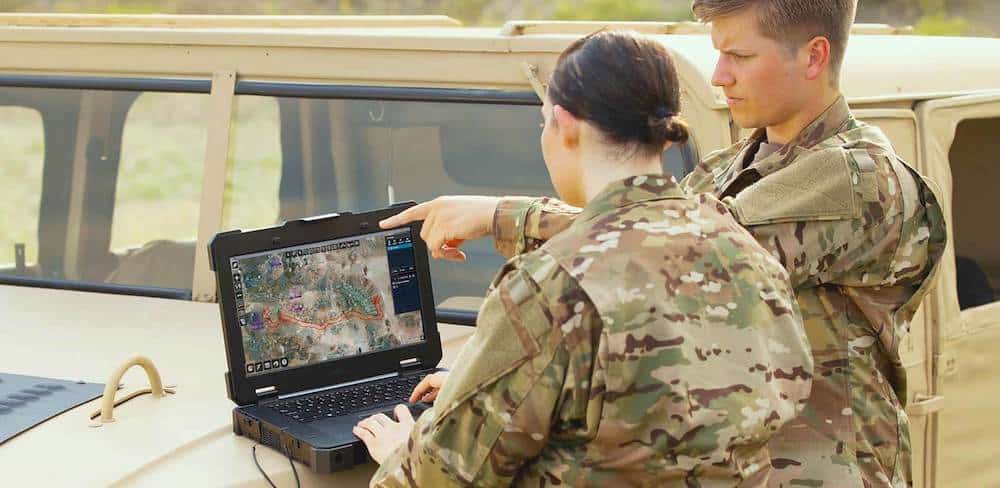
Military GIS technologies combine spatial data analysis with Command and Control systems to create an integrated digital battlefield. Defense organizations use geographic information systems to support mission planning, threat assessment, logistics, and tactical operations. By fusing satellite imagery, GNSS/GPS data, and other geolocation technologies with intelligence sources, GIS platforms provide a real-time operational picture that enables faster, data-driven decisions.
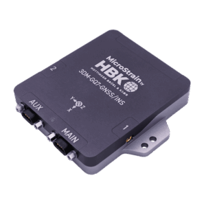
3DM-GQ7 GNSS-Aided INS by Hottinger Brüel & Kjær (HBK)
The integration of GIS with C4ISR and defense analytics frameworks allows military commanders to visualize complex environments, assess terrain, and model operational outcomes. Through geospatial databases, 3D GIS rendering, and mobile data acquisition tools, military forces can conduct reconnaissance mapping, border security monitoring, and disaster response planning with precision and agility.
Military GIS Applications
Military GIS applications span across all defense domains and mission phases. Common uses include:
Mission Planning and Target Acquisition: Integrating geospatial intelligence and sensor data to optimize routes, identify high-value targets, and reduce operational risk.
Battlefield Management: Enabling commanders to view live updates on troop movements, supply chains, and environmental conditions through command-and-control interfaces.
Logistics and Supply Chain Management: Using route optimization and spatial data analysis to coordinate transport, fuel, and resource distribution efficiently.
Border and Maritime Security: Combining satellite imagery and sensor integration to monitor perimeter activity, illegal crossings, and maritime zones.
Disaster Response and Humanitarian Operations: Deploying GIS for real-time mapping of disaster zones, resource allocation, and evacuation route planning.
Types of Military GIS Systems
Defense GIS solutions vary depending on operational scale, deployment environment, and system architecture:
Enterprise GIS: Centralized systems designed for command centers, supporting multi-domain situational awareness and joint operations.
Mobile and Field GIS: Portable solutions for on-ground personnel, integrating GPS systems, tactical mapping, and reconnaissance tools for rapid data acquisition.
Web-Based and Cloud GIS: Scalable platforms that allow distributed teams to share intelligence and coordinate missions through secure cloud networks.
3D and Terrain Modeling GIS: Advanced systems that generate three-dimensional topographic representations for mission rehearsal, flight planning, and urban operations.
Geospatial Intelligence and Sensor Fusion
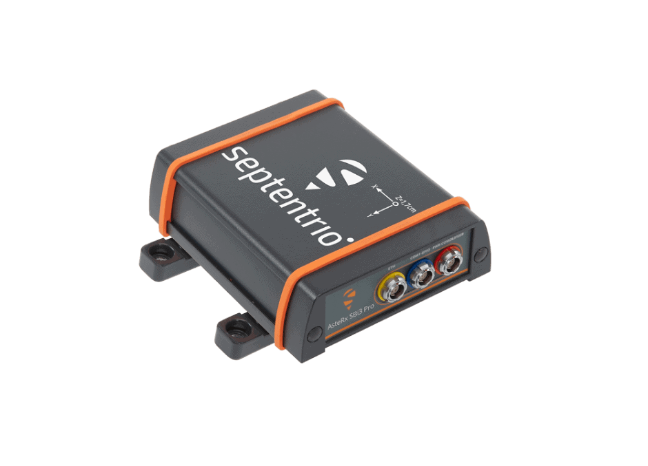
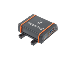
AsteRx SB3 Pro+ GNSS Receiver by Septentrio
The combination of GIS and geospatial intelligence (GEOINT) has transformed military reconnaissance and decision-making. Defense agencies employ satellite data processing, UAV imagery, and sensor fusion to create dynamic intelligence products. Using advanced analytics dashboards and AI-assisted interpretation, military GIS can detect movement patterns, assess terrain risk, and predict adversarial activity.
Real-time GIS platforms integrate spatial data from radar, LiDAR, electro-optical sensors, and infrared systems, enabling commanders to visualize operational theaters with unprecedented accuracy. This fusion of multi-source data supports tactical mapping, threat analysis, and mission-critical decision support.
Operational Benefits of Military GIS
Military GIS enhances operational efficiency and situational awareness across all mission levels. Core advantages include:
Rapid response to evolving battlefield conditions through live geospatial visualization
Improved coordination between units and allied forces
Enhanced mission safety through predictive terrain and environmental analysis
Streamlined logistics through geospatial route optimization
Centralized intelligence through integrated defense analytics and mapping engines
By providing a single geospatial framework, GIS allows defense organizations to unify intelligence, logistics, and operations data into a coherent, actionable view of the battlespace.
Integration with Defense Systems and Standards
Military GIS platforms are commonly integrated with C4ISR architectures, intelligence gathering frameworks, and command-and-control systems. Through secure communication interfaces and API integration layers, these systems exchange data across different mission networks and allied defense platforms.
GIS software in defense environments adheres to interoperability and cybersecurity standards, including MIL-STD-2525 for symbology and NATO STANAG protocols for geospatial data exchange. These frameworks ensure consistent map displays, symbology accuracy, and secure communication across coalition operations.
Comparing Defense GIS and Civil GIS Systems
While civil GIS platforms focus on urban planning, environmental monitoring, or infrastructure management, military GIS systems emphasize security, resilience, and tactical precision. Defense applications require real-time data synchronization, encryption, and MIL-SPEC-compliant interfaces that support classified operations.
Unlike civilian platforms, military GIS often operates within restricted networks, integrating data from multiple security domains while ensuring operational integrity. Their focus on battlefield management, threat detection, and mission execution demands far higher accuracy, availability, and cyber resilience than commercial systems.
Emerging Trends and Future Outlook for Military GIS
Advancements in artificial intelligence, machine learning, and cloud computing are transforming the capabilities and strategic value of military GIS. Modern defense organizations are adopting next-generation systems that leverage automated feature extraction from satellite imagery, predictive modeling, and integration with autonomous platforms to accelerate intelligence generation and improve operational precision.
Real-time GIS and Web-GIS architectures now deliver continuous data updates from UAVs, field sensors, and mobile assets, enabling commanders to visualize the battlespace with unprecedented clarity. 3D GIS engines and immersive visualization environments enhance mission rehearsal, simulation, and terrain analysis, while edge-deployed systems maintain functionality in bandwidth-limited or contested regions.
Cloud-based defense GIS frameworks further enhance interoperability, enabling coalition partners to share intelligence and scale mission systems for global operations securely. As digital transformation accelerates across the defense sector, military GIS is evolving into a core enabler of geospatial intelligence, supporting decision dominance, mission planning, and synchronized command operations.
The fusion of geospatial data, AI-driven analytics, and unmanned system telemetry will define the next generation of decision-support environments. Military GIS will continue to underpin defense situational awareness, operational success, and information superiority across multi-domain theaters worldwide.
Safe Pro Group demonstrates NODE-X edge AI system during U.S. Army exercise, processing drone imagery to identify mines and generate geospatial intelligence for mission planning support
The company will provide mission support and engineering services for the current Distributed Common Ground System (DCGS) baseline as well as facilitating the transition to the Open Architecture DCGS
May 18, 2022
Advancing Defense Capability Through Strategic CollaborationDefense Advancement works with major OEMs to foster collaboration and increase engagement with SMEs, to accelerate innovation and drive defense capabilities forward.