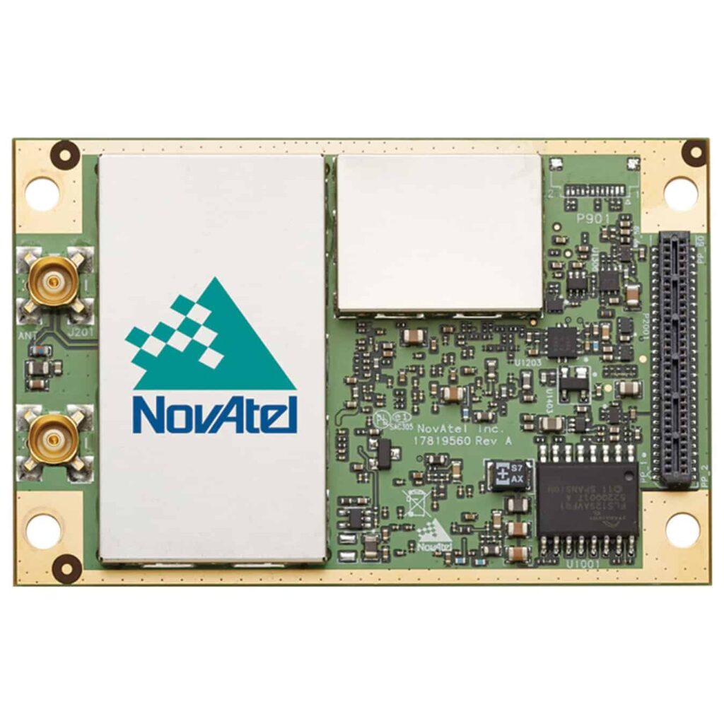
The OEM7720 is a multi-frequency, dual-antenna receiver that delivers robust heading and positioning along with advanced interference mitigation features.
To ensure maximum flexibility, the OEM7720 uses a 555 channel architecture and is capable of tracking all current and upcoming GNSS constellations.
The OEM7720 is scalable to offer sub-metre to centimetre level positioning. This receiver is field upgradable to all OEM7® family software options, including NovAtel CORRECT™ with RTK, ALIGN®, GLIDE® and SPAN®.
Features- Multi-frequency, multi-constellation GNSS receivers offering flexible positioning options and ease of integration
- Multi-channel L-Band supports TerraStar correction services
- Serial, USB, CAN and Ethernet connectivity with web interface
- Advanced interference visualization and mitigation features
- Firmware solutions including RTK, GLIDE™, STEADYLINE®, SPAN® and ALIGN®
- Simple to integrate, small form factor with 20 g vibration performance rating
- SPAN INS functionality
System Type: Board
General Info
Length (mm): 71
Width/Diameter (mm): 46
Height (mm): 8
Weight (g): 31
Typical Power Consumption (W): 1.8
Signal Tracking
Primary RF:
GPS: L1 C/A, L1C, L2C, L2P, L5
GLONASS: L1, L2, L3, L5
BeiDou: B1l, B1C, B2a, B2b, B2l
Galileo: E1, E5 AltBOC, E5a, E5b
SBAS: L1, L5
QZSS: L1 C/A, L1C, L2C, L5
NavIC (IRNSS): L5
Secondary RF:
GPS: L1 C/A, L1C, L2C, L2P
GLONASS: L1 C/A, L2C, L2P
BeiDou: B1l, B1C, B2a, B2l
Galileo: E1, E5b
QZSS: L1 C/A, L1C, L2C
NavIC (IRNSS): L5
L-Band: up to 5 channels
Number of Com Ports
LVCMOS: 5
CAN Bus: 2
USB Device: 1
USB Host: 1
Ethernet: 1
Performance
Accuracy (RMS)
Single Point L1: 1.5 m
Single Point L1/L2: 1.2 m
SBAS: 60 cm
DGPS (code): 40 cm
TerraStar-C PRO: 2.5 cm
TerraStar-L: 40 cm
RTK: 1 cm + 1 ppm


