In the white paper US Air Force JBLM Tree Obstruction Survey Using RESEPI-Lite-OS1, Inertial Labs outlines how it provided key technology for a pilot project at Joint Base Lewis-McChord (JBLM), where the US Air Force evaluated drone-based LiDAR for identifying tree obstructions around the airfield.
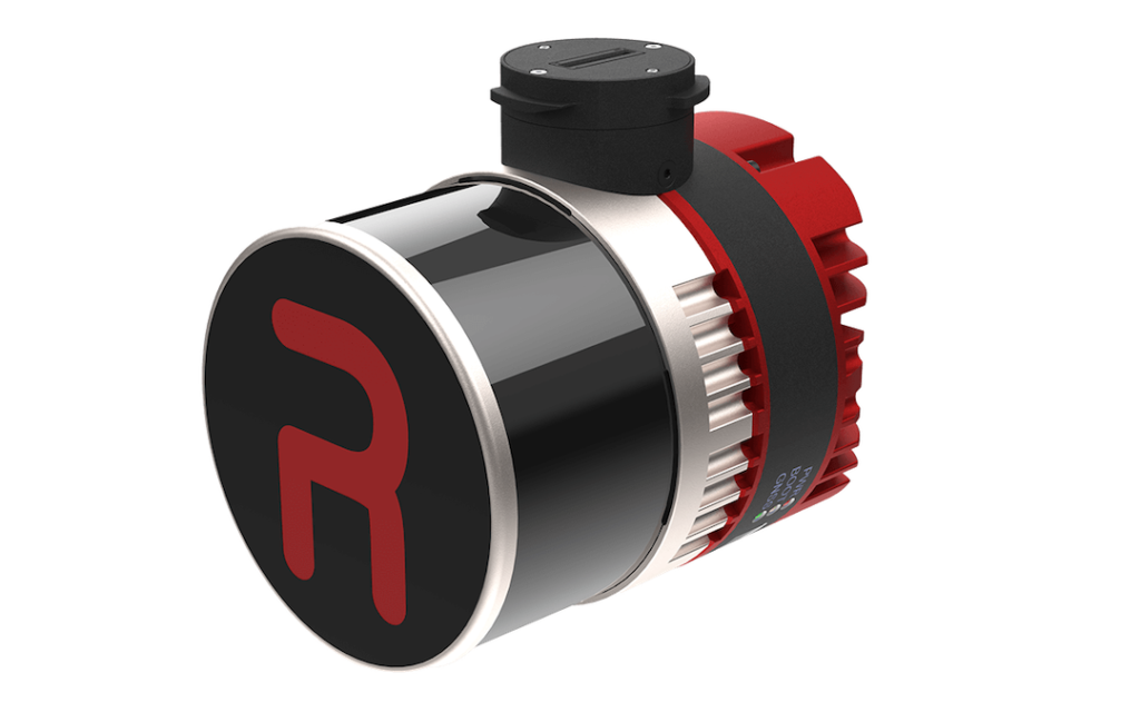
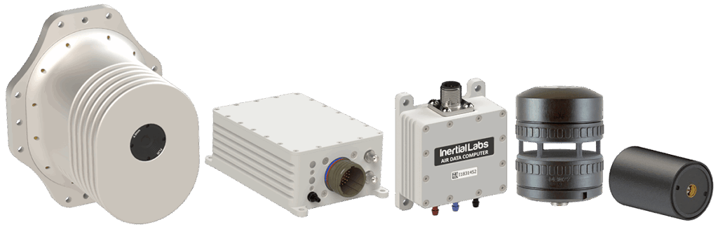
The RESEPI Lite OS1-64 LiDAR system and PCMasterPro software from Inertial Labs were used to map Douglas Fir trees that frequently grow into controlled airspace and pose potential hazards to flight operations. Because of environmental regulations, trees can only be removed once formally classified as obstructions, making accurate and repeatable surveys essential.
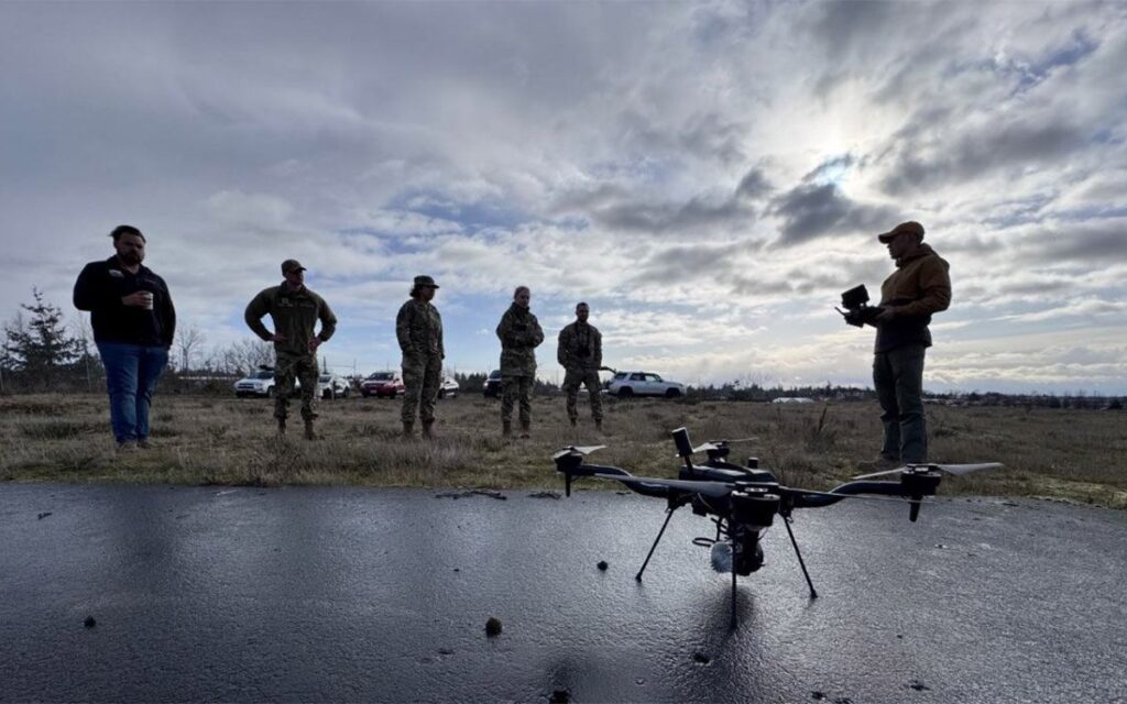
Led by the 627th Civil Engineer Squadron and coordinated by Stitch3D, the March 2025 pilot tested drone LiDAR and cloud-based processing tools across more than 1,000 acres surrounding McChord Airfield. A Freefly Astro drone equipped with the RESEPI Lite sensor collected the data, which was processed using Inertial Labs software and the Stitch3D cloud platform. The project was completed over two days, with acquisition, processing, and reporting finalized within a 48-hour window, despite challenging weather on the first day.
The resulting point cloud datasets averaged over 320 points per square meter, with a robust assessment reporting vertical accuracy (RMSE) of 1.3 cm for the North Site and 2.2 cm for the South Site. All data was delivered to base stakeholders through a secure cloud interface. Based on these results, the 627 CES strongly recommended making drone LiDAR surveys a routine component of airfield obstruction inspections.