
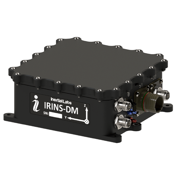
IRINS-DM is an OEM7 GNSS receiver–based navigation solution that combines multi-sensor fusion to provide assured positioning, navigation, and timing in environments where satellite signals may be degraded or unavailable. It integrates a NovAtel OEM7 GNSS receiver with a LEO STL-2600 receiver, a tactical-grade MEMS inertial measurement unit, a gyro-stabilized fluxgate compass, barometric altitude sensing, and an embedded air data computer. This architecture supports continuous estimation of position, velocity, attitude, and time across dynamic operating conditions.
The system applies Inertial Labs’ navigation processing and sensor fusion logic to maintain stable outputs under jamming, spoofing, and GNSS disruption scenarios. Optional onboard signal translation enables conversion of computed navigation data into a simulated GPS RF output on L1 and L2 bands for compatibility with external GNSS-dependent equipment. IRINS-DM is intended for integration into unmanned aerial, ground, surface, and maritime platforms, supporting applications such as unmanned navigation, formation operations, tracking networks, and dynamic positioning tasks where uninterrupted PNT data is required.
| GNSS receiver: | NovAtel OEM7 integrated unit |
| LEO receiver: | STL-2600 receiver module |
| IMU: | Tactical-grade MEMS inertial measurement unit |
| Compass: | Gyro-stabilized fluxgate compass system |
| Altitude sensing: | Barometric pressure-based measurement |
| Air data computer: | Embedded onboard module |
| Fusion processing: | Inertial Labs multi-sensor navigation engine |
| Output modes: | PVT solution with optional simulated GPS RF (L1/L2) |
| Application domains: | UAV, UGV, USV, maritime and defense navigation systems |


