Advanced Navigation, a developer of navigation and robotics technologies for air, land, and sea applications, discusses flight demonstrations of its assured navigation architectures that use sensor fusion to maintain accurate positioning in GPS-denied environments. Read more >>
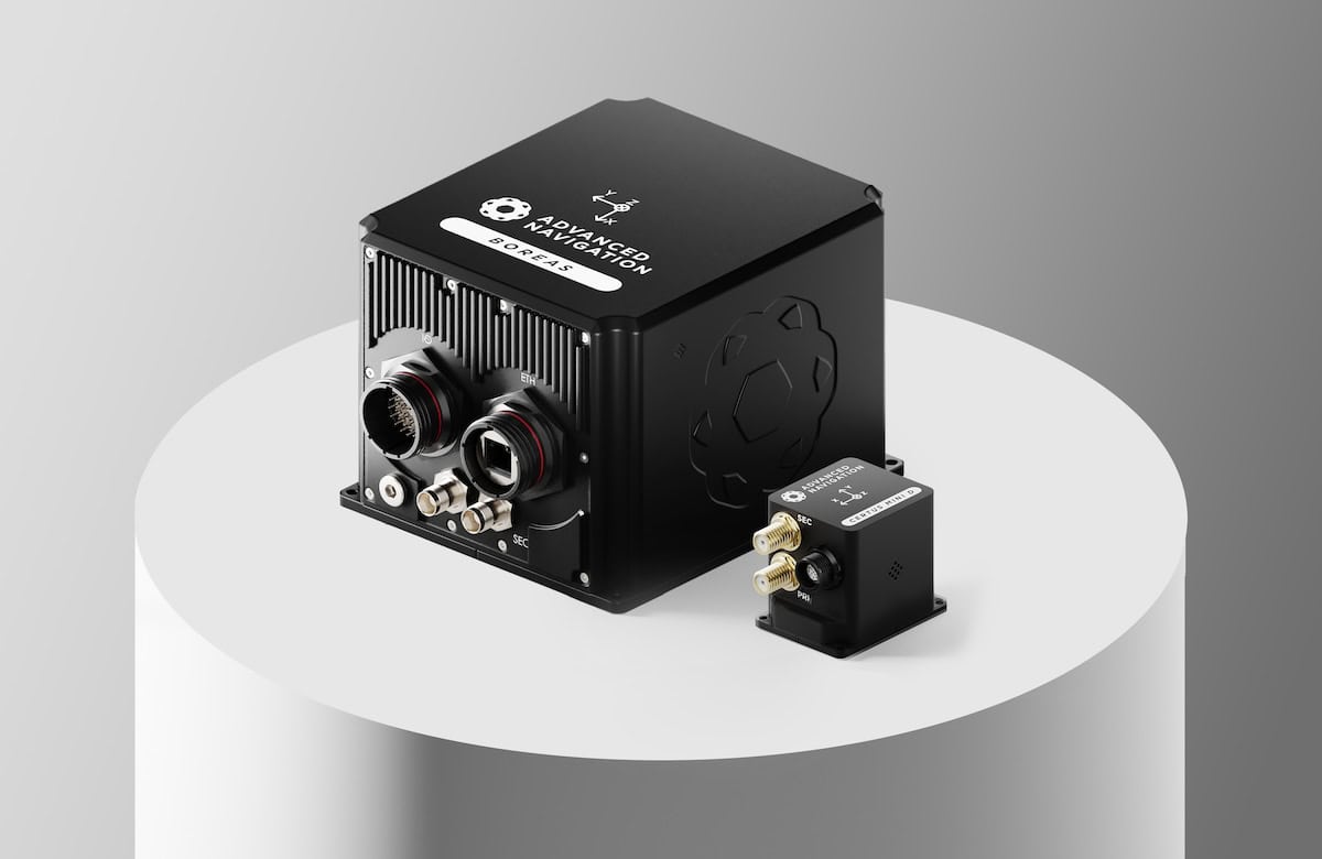
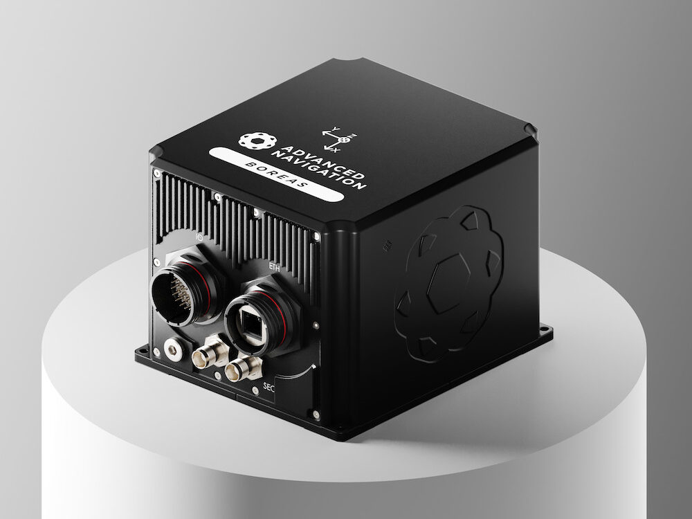
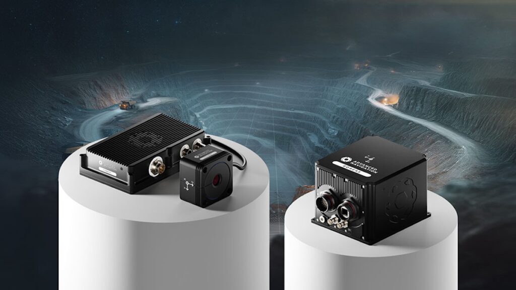
The trials paired a Boreas D90 Fibre Optic Gyroscope (FOG) Inertial Navigation System (INS) with a Laser Velocity Sensor (LVS), and a Certus Evo Micro-Electro-Mechanical Systems (MEMS) INS with an Air Data Unit (ADU), validating performance across distinct Size, Weight, Power, and Cost (SWaP-C) profiles.
Flight demonstrations were conducted aboard a Mooney 201 (M20J) aircraft at altitudes between 400 and 500 meters in deliberately GNSS-denied conditions. Data was collected over farmland and dense forest in the South West region of Western Australia. The trials evaluated navigation resilience across dynamic maneuvers, varying terrain, and changing atmospheric conditions, demonstrating accurate navigation performance without GNSS for a variety of aviation platforms.
The Certus Evo MEMS INS combined with an Air Data Unit was configured for small uncrewed aircraft to continuously estimate position and velocity through atmospheric data. During flight trials, over 5 km the system achieved 8.8 meters of error (0.17% of distance), and over 35 km the system achieved 118 meters of error (0.3% of distance).
This configuration is suitable for Uncrewed Aerial Systems (UAS), Vertical Take-Off and Landing (VTOL) aircraft, High-Altitude Pseudo-Satellite (HAPS) platforms, and long-endurance Intelligence, Surveillance, and Reconnaissance (ISR) missions operating over roughly 50 km.
The Boreas D90 FOG INS paired with the Laser Velocity Sensor was applied to support long-range missions, ISR platforms, helicopters, and fast-moving fixed-wing aircraft. During flight trials, over 100 km the system achieved 29 meters of error (0.03% of distance).
Both configurations used Advanced Navigation’s intelligent sensor fusion architecture, which combines data from multiple onboard sensors in real time and adapts dynamically to sensor degradation, vibration, and atmospheric conditions, enabling continuity of navigation and maintaining accuracy when GNSS signals were unavailable.