Advanced Navigation has successfully demonstrated its inertial-centric intelligent navigation technology during the U.S. Army’s All-Domain Persistent Experiment (APEX), validating the solution as a critical inertial-sensor stack for Assured Positioning, Navigation, and Timing (APNT) on the modern battlefield.
The demonstration confirmed the system’s ability to deliver reliable, high-accuracy navigation in GNSS-degraded and denied environments.
Demonstration in a Contested Environment
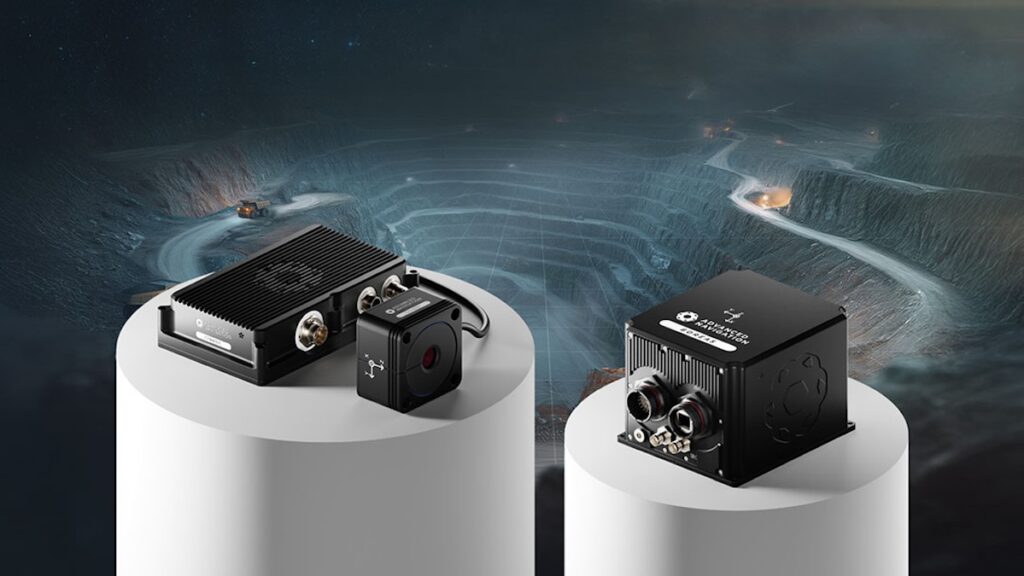
APEX is designed to replicate Degraded, Denied, Intermittent, and Low-bandwidth (DDIL) operational conditions. During the experiment, Advanced Navigation evaluated its Boreas D90 Fibre-Optic Gyroscope (FOG) Inertial Navigation System (INS) fused with complementary aiding sensors, including a Laser Velocity Sensor (LVS) and a wheel speed encoder.
The results validated the company’s software-defined, inertial-centric approach as a resilient foundation for APNT.
Chris Shaw, Advanced Navigation CEO, stated, “In today’s contested environment, the adversary will deny, degrade, and spoof GNSS signals. Relying on a single technology for navigation is a mission-ending vulnerability. Assured PNT is non-negotiable. The only path to operational advantage is an intelligent, multi-sensor fusion anchored by a resilient inertial core. We deliver this with our sophisticated AdNav Intelligence software.
“It is the adaptive nervous system for your platform. It continuously validates all sensor inputs, adjusts in real time to the operational environment, and autonomously counteracts spoofing and jamming. This ensures unwavering PNT integrity, enabling you to operate decisively through an evolving, multi-domain threat landscape.
“Now in our third year participating in this U.S. Army program, APEX continues to challenge our systems under realistic electronic warfare conditions. We’re honoured to collaborate with the U.S Army to help better prepare warfighters’ mission readiness for complex multi-domain operations.”
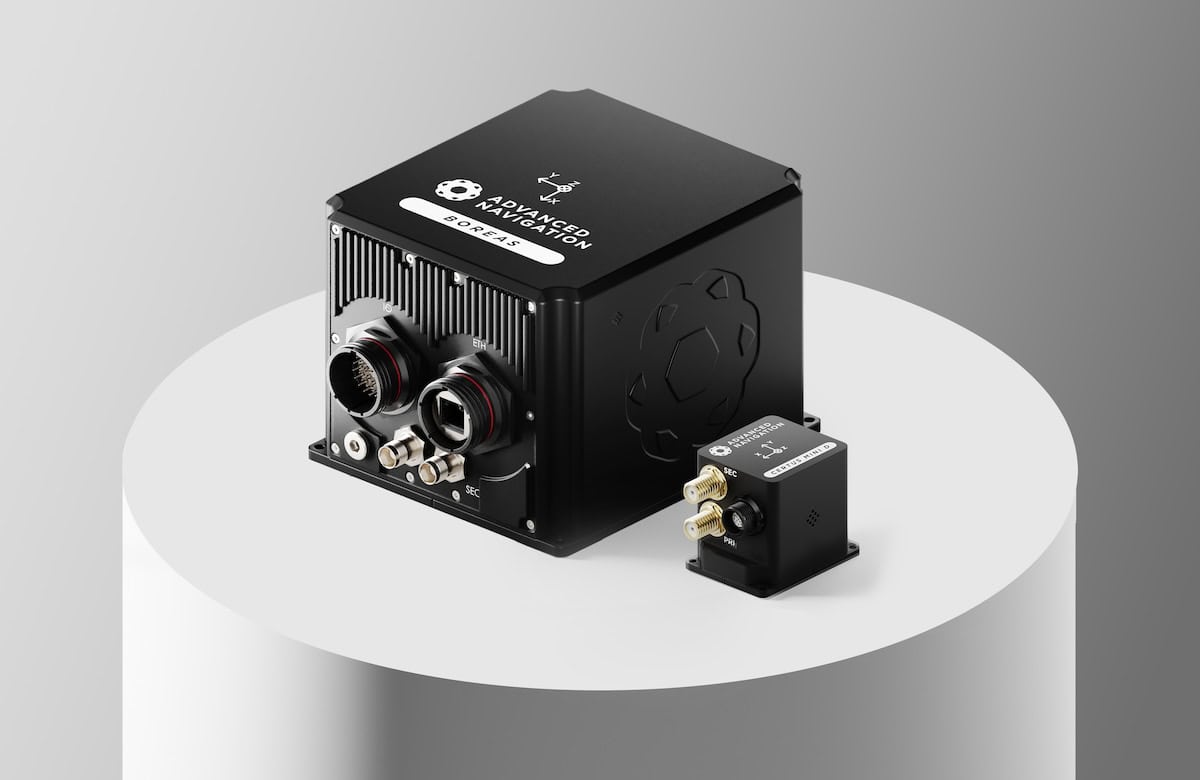
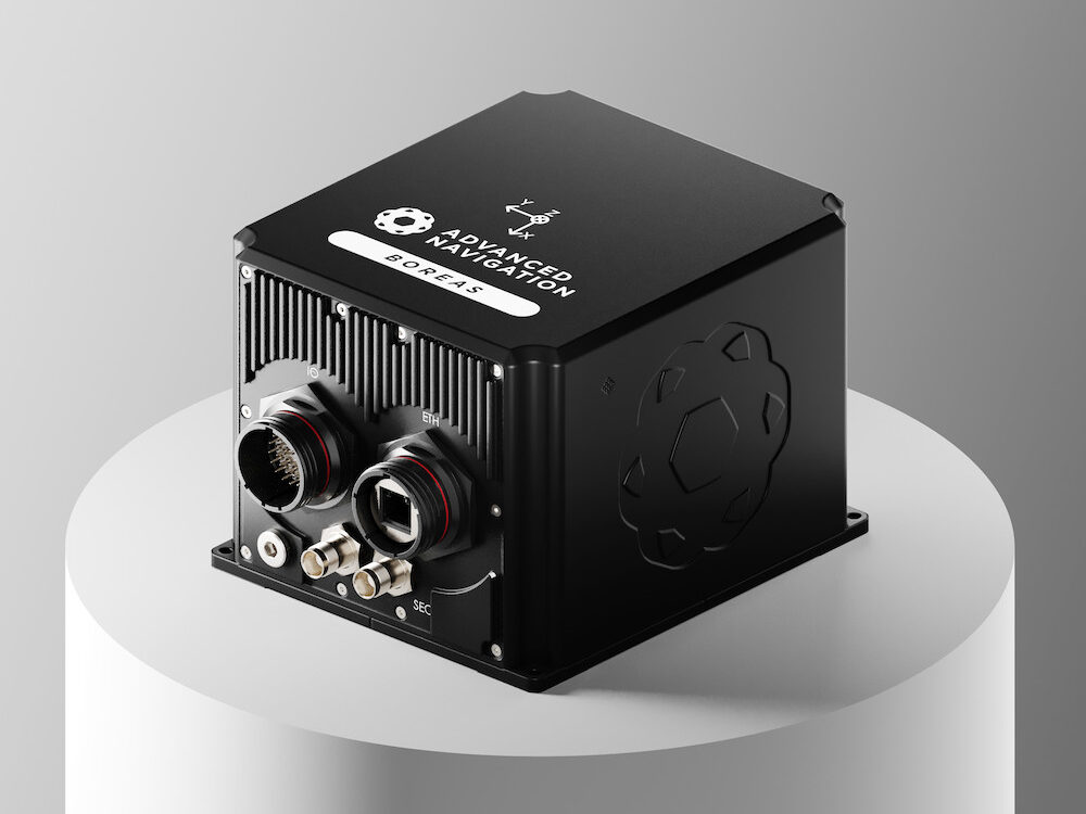
Boreas D90 at the Core of the Architecture
At the center of the system is the Boreas D90, a strategic-grade FOG-based INS that functions as the “nervous system” of the navigation architecture. The Boreas D90 determines true north through gyrocompassing, unlike systems dependent on GNSS or magnetic compasses, and uses fibre-optic gyroscopes to detect the Earth’s rotation. This allows for independent, high-confidence navigation even when GNSS signals are compromised.
AdNav Intelligence Software
The layered inertial-centric architecture is completed by the AdNav Intelligence software, which adapts in real time to incoming threats. Using advanced algorithms, the software dynamically evaluates inputs from each sensor and adjusts reliance based on reliability scores, environmental factors, and mission context.
This software-defined hardware approach enables continuous, high-confidence navigation even when signals are disrupted, degraded, or denied.
Vehicle Demonstration
During APEX, the Boreas D90 with AdNav Intelligence was integrated with both an LVS and a wheel speed encoder on a four-wheel-drive vehicle. The demonstration took place during night operations at a rural test site in New Mexico, where GNSS jamming was conducted to simulate complex electronic-warfare conditions.
Laser Velocity Sensor Results

When fused with the LVS, an advanced infrared laser sensor for operations requiring extreme accuracy and dynamic performance, the system achieved high-precision performance.
The LVS measures ground-relative 3D velocity with exceptional precision and provides drift-free velocity data across both ground and airborne platforms, regardless of environmental conditions or the availability of visual references, provided it maintains a clear line of sight to the ground or a stationary surface.
This configuration achieved a dead-reckoning error of 0.012% per distance travelled, equivalent to 7.5 meters over 65 kilometers under contested conditions.

Wheel Speed Encoder Results

Wheel speed encoders measure wheel rotation to determine speed and distance, providing a rugged and cost-effective source of motion data suitable for tactical platforms. Their design enables quick integration and makes them well suited to firm terrain and structured routes, where they provide dependable dead-reckoning performance when GNSS is denied.
When paired with the wheel speed encoder, the Boreas D90 delivered reliable dead-reckoning performance and navigation continuity, ideal for platforms operating in predictable or structured environments. This configuration achieved 0.018% error per distance travelled, or 11.7 meters over 65 kilometers, without reliance on GNSS, even under deliberate jamming.

Next Steps for APNT Technology
According to Advanced Navigation, the APEX results demonstrate strong potential for a wide range of current and future defense applications. The systems exceeded expectations, achieving the accuracy and reliability required for navigation in GNSS-denied and degraded environments.
The company plans continued research and development, particularly in integrating INS with next-generation photonics technologies to improve battlefield capability, resilience, and adaptability.
The next APEX experiment will include partners from the U.S. Air Force’s 746th Test Squadron, the Joint Navigation Warfare Center, the U.S. Army Combat Capabilities Development Command, and the Army Test and Evaluation Command. Advanced Navigation is scheduled to return to the event in 2026.