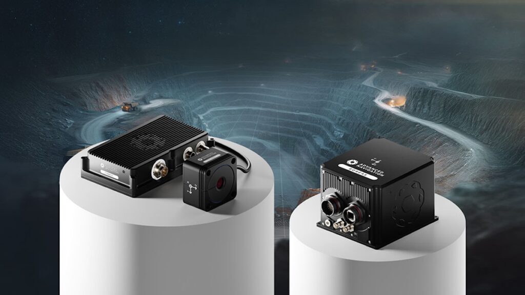
Advanced Navigation has introduced Chimera Land, a 3D Laser Velocity Sensor developed to address vehicle positioning challenges in underground mining environments where GPS signals are unavailable.
Accurate positioning is essential in underground operations. GPS-based navigation ceases to function once vehicles enter portals or adits. To compensate, mining operators commonly install fixed infrastructure such as Wi-Fi beacons or radio tags. These systems require ongoing installation and maintenance as mine faces advance, increasing operational cost and time requirements.
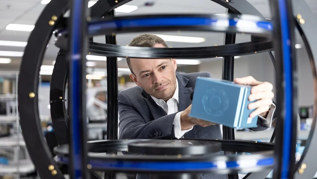
Joe Vandecar, Head of Product at Advanced Navigation, commented, “In a production environment, navigation is critical. When positioning fails, haulage stalls, drill rig alignment drifts, and ore reconciliation becomes inaccurate. These disruptions create a cascade of operational lag that directly erodes profitability.”
3D Laser Velocity Sensing with Inertial Navigation
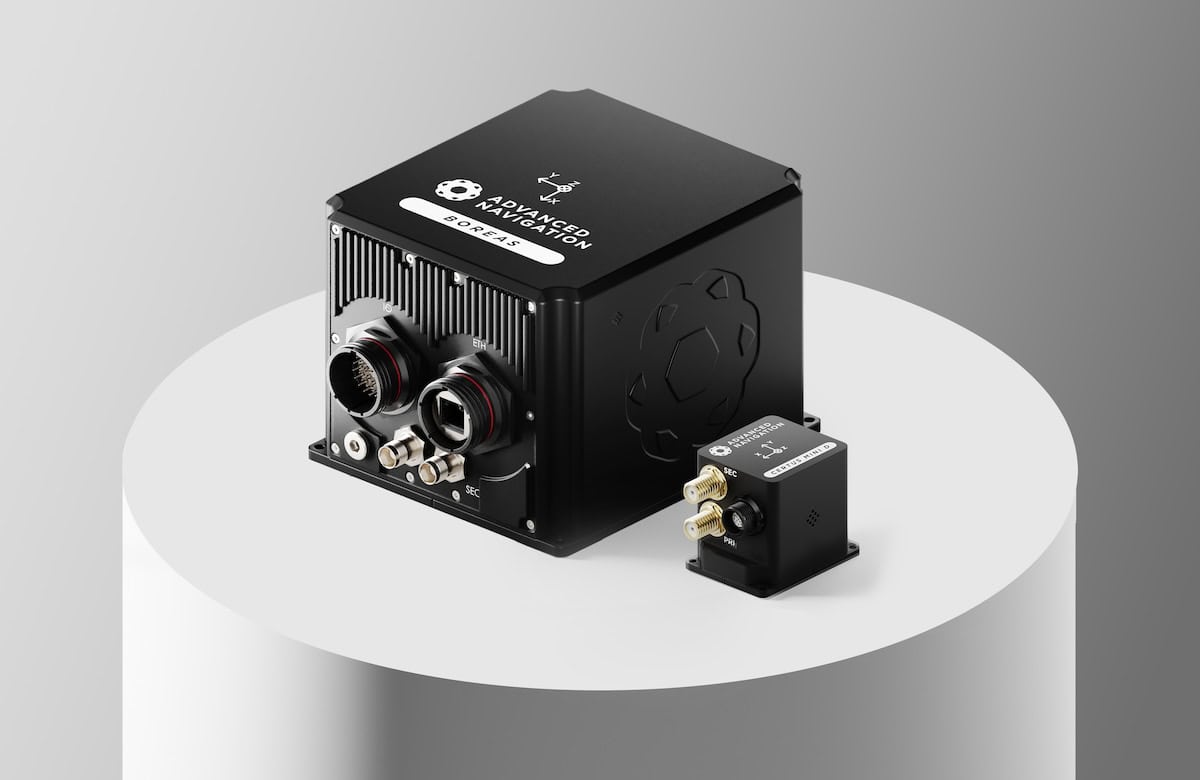
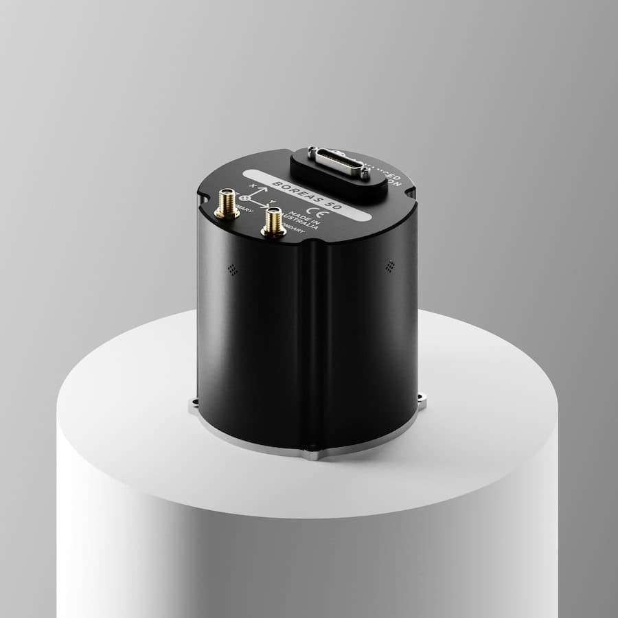
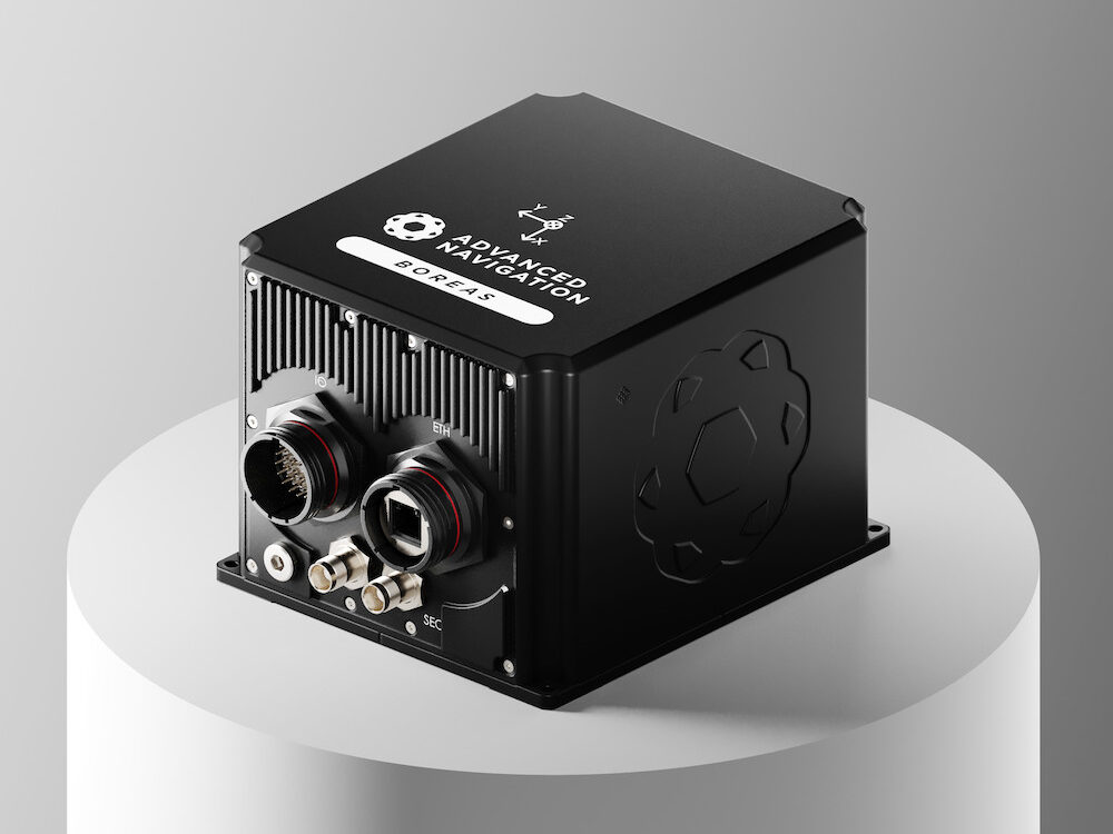
Chimera Land is designed to operate in combination with an Advanced Navigation Inertial Navigation System (INS). The sensor measures a vehicle’s ground-relative 3D velocity using lasers, generating precise motion data. This data is fused with the INS to reduce the positional drift that typically accumulates in standalone INS solutions.
The integration is enabled by the company’s AdNav Intelligence software, which applies adaptive algorithms to dynamically weight sensor inputs based on reliability scores, environmental conditions, and operational context. The resulting system is intended for use in high-dust, zero-light underground environments without reliance on fixed external positioning infrastructure.
Vandecar stated, “Development areas in mining have long been held back by fragile external infrastructure and complex setups that struggle to keep pace with a moving mine face. Chimera Land changes that.
“By providing a fully onboard, self-contained solution, we have eliminated the positioning gap. Even in the deepest, unmapped headings, we turn navigational guesswork into absolute operational certainty, ensuring that autonomous fleets keep moving without interruption.”
Validation at 1.4 km Depth
The system was demonstrated in Europe’s deepest underground mine at a depth of 1.4 km as part of the BHP Deep Mining Call.
Integrated with the Boreas D90 INS, Chimera Land achieved positioning accuracy equivalent to 99.9% of the total distance traveled without relying on fixed positioning infrastructure, pre-existing maps, or external aiding.
Key performance benchmarks included:
- Precision at depth: Final position error of 15.9 m over a 22.9 km transit at 1.4 km underground (approximately 0.07% error per distance traveled).
- INS drift reduction: Drift rate reduced to 0.07% per distance traveled.
- Repeatable accuracy: Validated across five separate runs, each achieving better than 0.1% accuracy.
- Infrastructure-light operation: Maintained full vehicle autonomy without fixed networks or external infrastructure.
Vandecar added, “Maintaining this level of precision demonstrates a level of performance that few systems in the world can rival without any prior intelligence of the environment. These results prove we are one step closer to unlocking scalable underground autonomy.”

Operational Applications
Chimera Land is engineered to maintain high-confidence positioning in total darkness, heavy dust, and high-vibration mining conditions as operations extend deeper underground and the cost of installing fixed infrastructure increases.
The system supports Autonomous Haulage Systems (AHS) by enabling continuous tramming in development areas without pre-surveyed beacons. It provides sub-decimeter velocity accuracy for automated drill rig alignment and robotic scaling, supporting high-precision machine guidance. Real-time localization enables dynamic fleet management, asset tracking, and ore reconciliation in deep underground areas where fixed infrastructure may be absent. High-fidelity 3D velocity data also enhances time-to-collision calculations within safety systems, supporting predictive collision avoidance.
Vandecar said, “To keep human operators safe from hazardous conditions, assets must possess the situational intelligence to make real-time decisions. Chimera Land provides the foundational certainty required for this evolution, ensuring absolute positioning integrity in the world’s most challenging environments.”