
Advanced Navigation’s Hybrid Navigation System has showcased high-precision, resilient positioning and a consistent sub-0.1% navigation error, without relying on GNSS, fixed positioning infrastructure, pre-existing maps, or external aiding.
This level of accuracy, repeatedly validated across 5 separate runs, was achieved in Europe’s deepest underground mine, the Pyhäsalmi mine, which is located 1.4 km underground and has a 63 degree latitude.
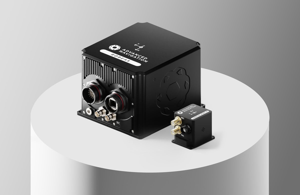
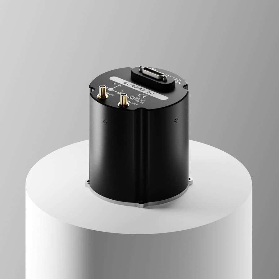
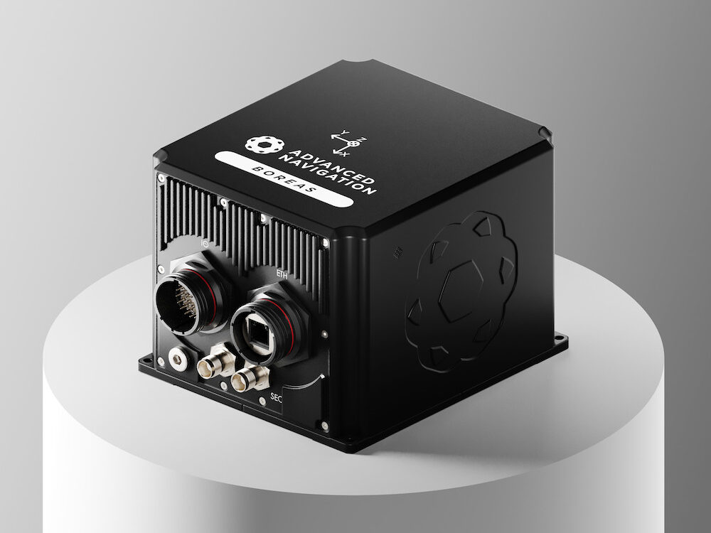
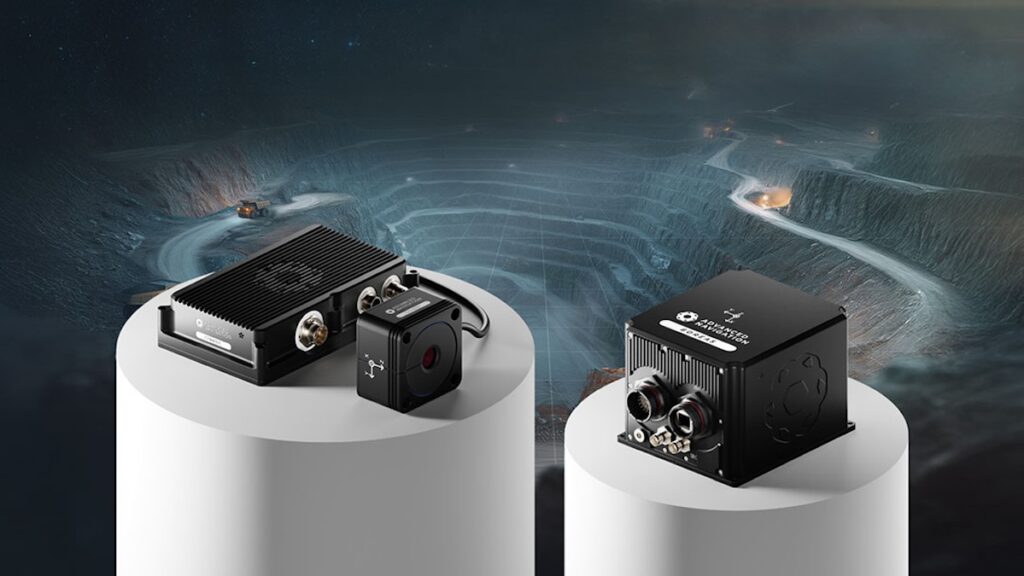
Advanced Navigation’s Hybrid Navigation System technology is centered on a Boreas D90 fiber-optic gyroscope (FOG) inertial navigation system (INS).

This uses ultra-sensitive FOG technology to detect the Earth’s rotation and determine true North, rather than GNSS or magnetic compasses. This process of gyrocompassing helps determine the vehicle’s heading.
The INS is fused with Advanced Navigation’s Laser Velocity Sensor (LVS) to maintain and enhance positional accuracy. LVS uses an infrared laser to continuously measure the vehicle’s 3D velocity relative to the ground, providing real-time data.

This is vital for correcting the gradual ‘drift’ which occurs in standalone inertial systems, and helps the Hybrid Navigation System sustain precision over long distances.
The company’s AdNav OS Fusion software supports this integration, weighing the reliability of each sensor in real-time through adaptive algorithms. Combined these technologies deliver precise, uninterrupted navigational data in extreme environments.
Mine Demonstration Results
The Hybrid Navigation System demonstration was livestreamed from the mine in Finland, as part of the Deep Mining Open Call under BHP’s Think and Act Differently (TAD) program, with its performance removing barriers once fundamental to underground navigation.
The subterranean network posed many challenges for traditional fixed infrastructure systems, such as being impervious to GNSS signals, having risks of visual disorientation from the multi-level tunnel networks, and its metallic ores distorting magnetic fields and scattering radio waves.

However, these did not impact the Hybrid Navigation System. During the first 3 runs over a 6 km rough and rugged terrain 400 m below the surface, the system achieved a 3D position error of only 0.55 m (0.009%), with an average error of 2.83 m (0.047%).
In run 4, the system navigated a 22.9 km route to a depth of 1,400 m, with a final position error of 15.9 m (0.07%). This highlighted its immunity to drift impacting other inertial systems.
In run 5, a north-seeking initialization was conducted 1.4 km underground. The Hybrid Navigation System determined direction using its gyrocompassing procedure, measuring the Earth’s rotation to establish true north. It also navigated a 1 km course with only 1 meter of error, emphasizing its ability for rapid deployment in unfamiliar, difficult terrains.
Joe Vandecar, Senior Product Manager at Advanced Navigation, stated, “Maintaining precision over a 22.9 km subterranean course in Europe’s deepest underground mine demonstrates a level of performance that few systems in the world can rival without any prior intelligence of the environment. These results prove we’re one step closer to unlocking scalable underground autonomy.“
Magnus Zetterberg, Senior Consultant at Combitech, added, “We were thoroughly impressed by the results the sensor fusion provided. I have used and been exposed to these sorts of sensors in other projects, and nothing has come close to this level of performance. It’s clear the Laser Velocity Sensor is a major key in providing these outstanding results.“
The Hybrid System’s performance enables new potential for fleet management, predictive collision avoidance, material tracking and scalable autonomy, applications that parallel defense needs for autonomous ground and subterranean vehicles.
It also reduces the dependency on fixed infrastructure-heavy, single navigation solutions, such as ultra-wideband beacons, Wi-Fi, 5G repeaters, and perception-based techniques like SLAM (Simultaneous Localization and Mapping). These methods are costly, slow to install, and frequently unavailable in hazardous or unmapped zones.
Olli Mylläri, Vice President Technology at Normet, commented, “We’ve worked in underground environments for decades. Seeing this level of precision achieved on the first run signals huge potential for safer and more efficient underground vehicle operations.
“At Normet, we specialize in advanced solutions for underground mining and tunnelling, so we know firsthand how difficult accurate and reliable navigation can be in these environments. Seeing Advanced Navigation’s Hybrid Navigation System deliver consistent positioning with minimal infrastructure deep within the Pyhäsalmi Mine was remarkable. It’s a powerful step forward for automation and safety in the underground space.”
Advanced Navigation’s layered, inertial-first and multi-sensor architecture with intelligent software is adaptable and scalable to each operation’s unique demands, being set for commercial release in late 2025.