Greensea IQ has successfully completed a live autonomous demonstration of Unexploded Ordnance (UXO) detection and classification at the former Maine Bombing Area.
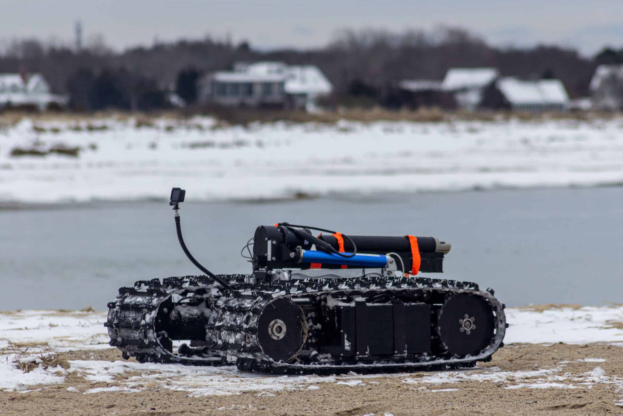
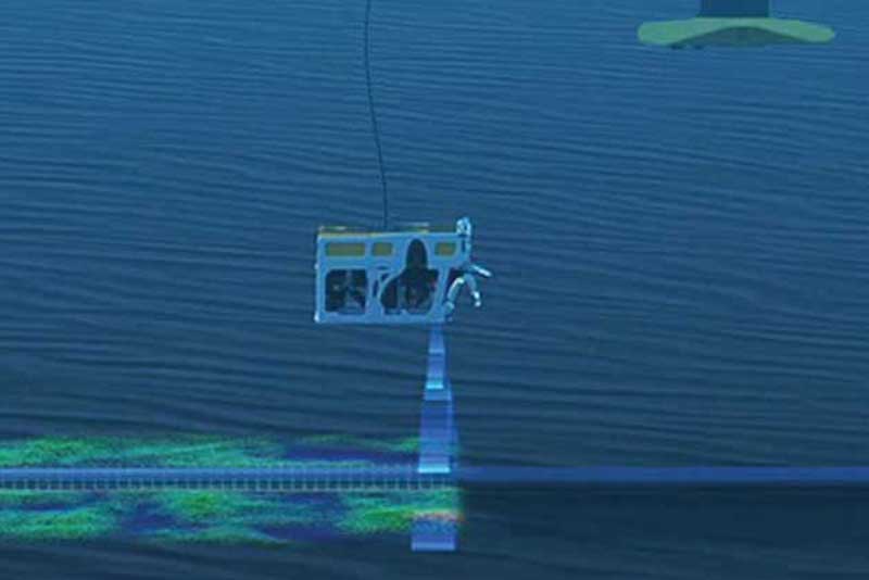
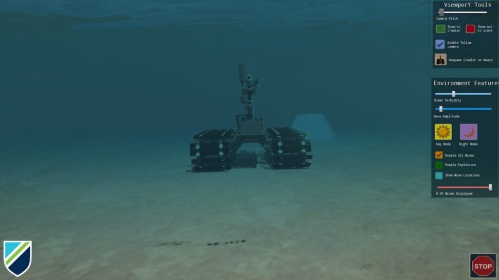
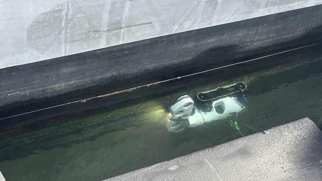
The Bayonet 350 Amphibious Uncrewed Ground Vehicle (AUGV) was demonstrated operating in surf, shallow, and nearshore environments while towing a UXO detection sensor sled, delivering accurate data collection and reliable autonomous performance in complex coastal conditions.
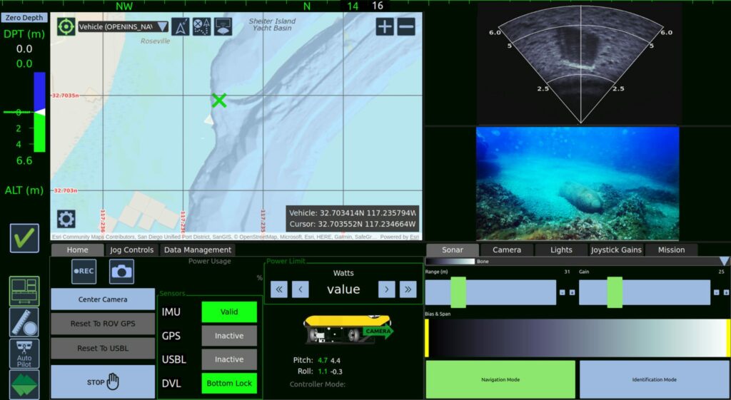
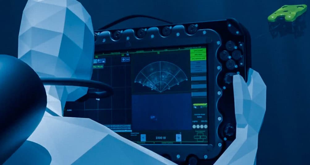
Outfitted with an RTK-GPS system, the Bayonet 350 supported the deployment of White River Technologies’ APEX Three-Dimensional Electromagnetic (3D EM) system. This partnership aims to provide a commercially available solution for the mapping and classification of munitions that failed to detonate and remain in coastal regions, beaches, and nearshore waters.
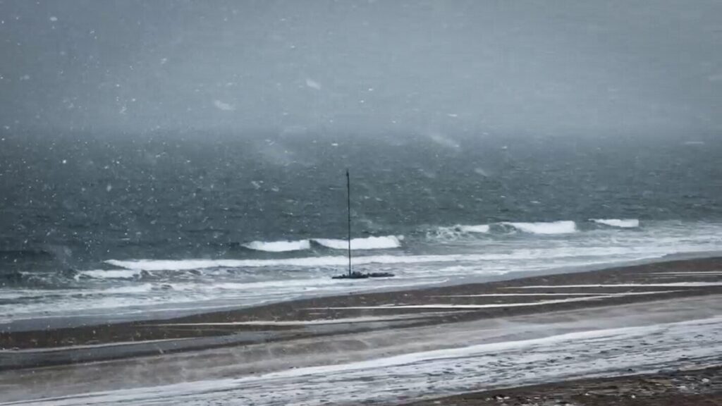
Over five days of field operations, including through a New England blizzard, the Bayonet 350 conducted autonomous surveys over approximately eight acres of surf zone, swash zone, and shoreline with no downtime due to system failures or issues.
Data collected during the demonstration was processed by White River Technologies using advanced geophysical classification methods to generate maps and identify Targets of Interest for follow-on investigation by the U.S. Army Corps of Engineers.
Greensea IQ CEO Ben Kinnaman explains, “Unexploded ordnance is a major issue in the ocean, especially on beaches, sounds, and marshes. UXO presents both a public safety risk and an environmental hazard. Historically, these areas have been difficult to address because there has not been a reliable way to efficiently search large areas and accurately distinguish UXO from typical seabed trash. The Bayonet AUGV, paired with the APEX system from White River Technologies, enables autonomous surveying of large seabed areas while producing accurate maps of classified threats. This allows for more efficient and precise mitigation. This technology provides a cost-effective way to address a significant public safety challenge and reopen impacted areas for recreation and public use.”
UXO refers to the munitions that failed to detonate and remain in the environment, often in former military training areas such as coastal and nearshore regions. The former Maine Bombing Area, a Formerly Used Defense Site (FUDS) in Reid State Park, served as a World War II bombing range. The demonstration funded by the Department of War’s SERDP and ESTCP programs, aimed to validate emerging UXO detection capabilities in real-world conditions.
UXO poses a significant risk to public safety and the environment, remaining hazardous for decades and threatening civilians, marine operations, and coastal development. As a result, large areas of seabed and shoreline often remain restricted due to confirmed or suspected UXO presence.
Historically, identifying and classifying UXO in nearshore environments has been a complex and resource-intensive process. Traditional methods typically require manual surveying in hazardous areas and can struggle to distinguish between actual threats and benign metallic debris. As a result, many impacted areas remain unaddressed due to the difficulty, cost, and risk associated with large-scale detection and classification.
The operation demonstrated the Bayonet 350’s ability to autonomously survey hazardous nearshore environments, even in harsh weather conditions, while collecting high-resolution geophysical data with precise positioning. By removing the need for personnel in dangerous surf and swash zones, the system significantly reduces operational risk and supports scalable, data-driven approaches to UXO response.