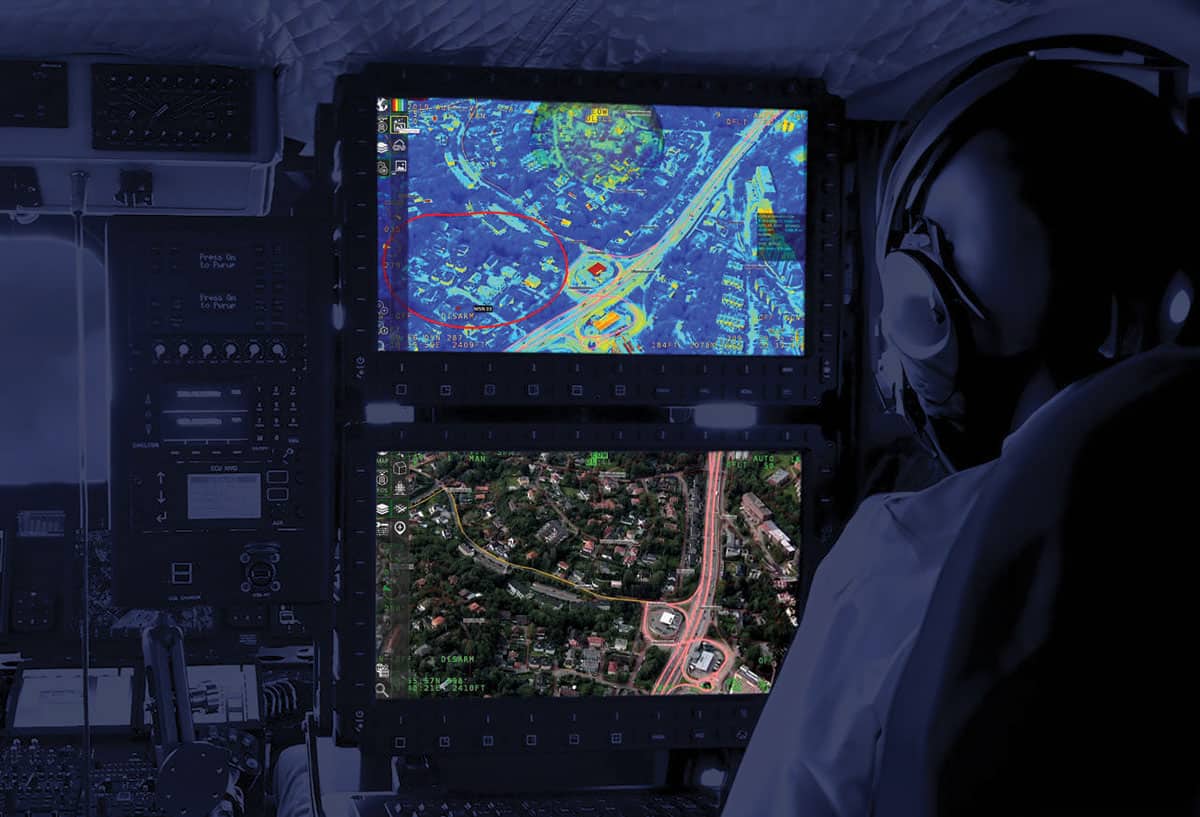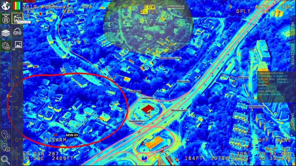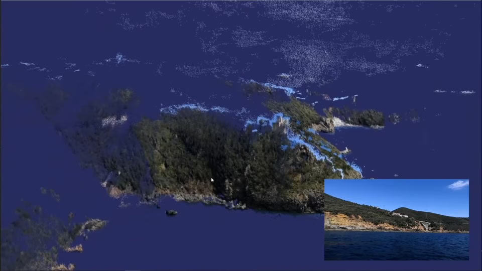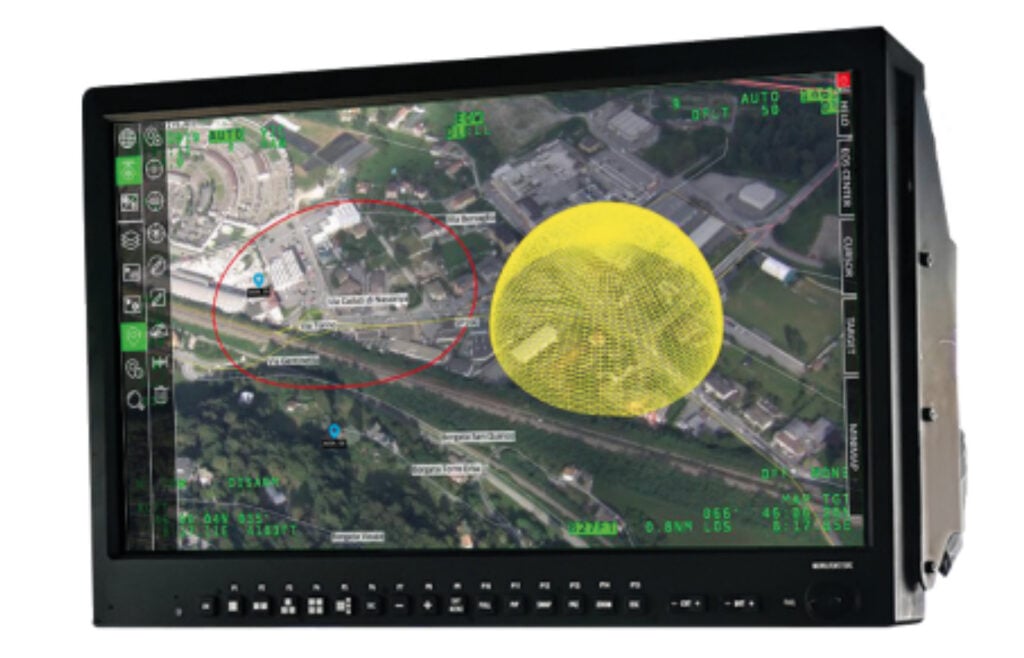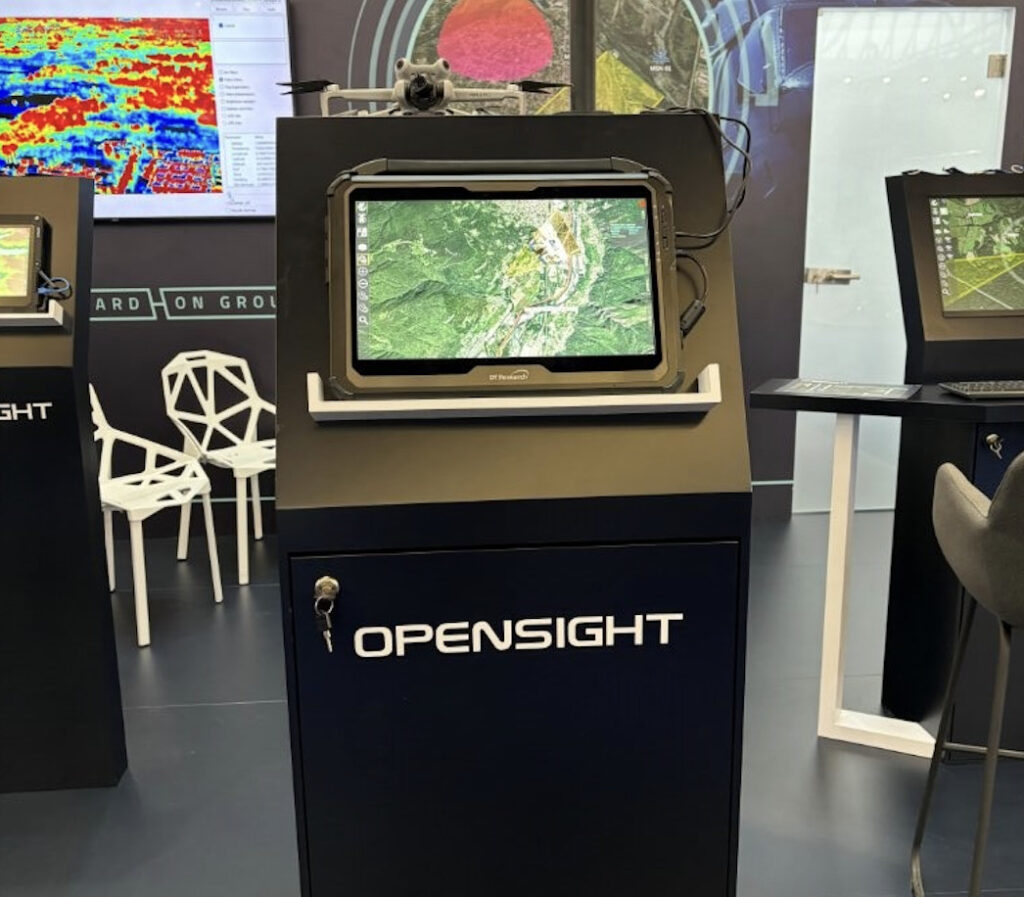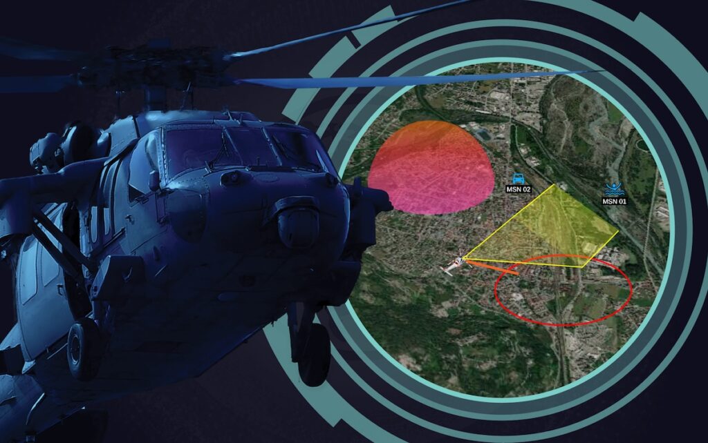

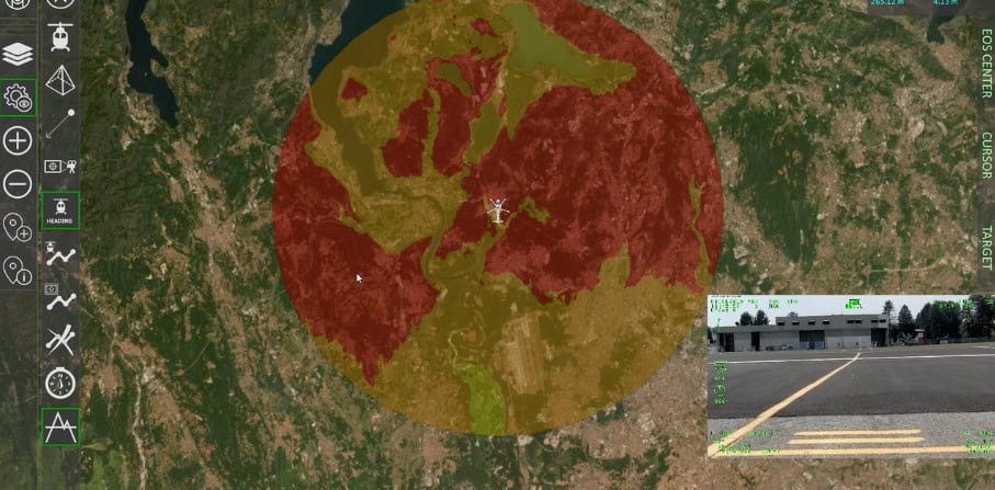
FlySight’s OPENSIGHT Mission Console integrates a Terrain Above Elevation Visualization Capability, a critical tool designed to enhance real-time situational awareness and flight safety for onboard operators in demanding operational environments.
This capability provides intuitive color-coded terrain visualization based on the aircraft’s current altitude and trajectory. Areas with elevation above the helicopter’s current height are displayed in red, signifying potential collision hazards. As terrain elevation falls below the aircraft’s flight path, these areas transition to green, indicating reduced or no threat. When the aircraft descends, elevated terrain or vertical obstacles such as mountains, buildings, or wooded areas dynamically shift to red in the operator’s view, enabling immediate recognition of emerging threats.
The visualization dynamically updates in real time, reflecting changes in altitude and flight direction. This continuous feedback loop helps operators assess terrain risk with precision and respond swiftly to avoid potential collisions.
Key Features of the Terrain Above Elevation Capability
- Real-Time Terrain Awareness: Continuously updated visualization of terrain elevations relative to flight altitude, improving reaction times and spatial awareness.
- Dynamic Color Coding: Clear visual differentiation between hazardous and non-hazardous areas using red-to-green gradients based on elevation relative to the aircraft.
- Improved Operational Safety: Empowers operators to proactively identify and mitigate terrain-related risks during mission execution, especially in complex or low-visibility environments.
This capability significantly enhances the OPENSIGHT Mission Console’s operational value, providing defense operators with a practical, visually intuitive tool to support safe and effective mission planning and execution in real time.
Find out more about the OPENSIGHT Mission Console on the FlySight website.