
In the white paper The Role of LiDAR in Advanced Security Operations, Inertial Labs examines the integration of LiDAR systems, both stationary and UAV-mounted, into modern security strategies.
LiDAR (Light Detection and Ranging) is increasingly being integrated into security systems, offering precise 3D mapping and environmental awareness that addresses limitations found in traditional camera and personnel-based approaches. By measuring the return time of laser pulses, LiDAR generates detailed point clouds that remain accurate even in poor lighting or adverse weather. Its ability to be deployed across platforms, from fixed installations to drone-mounted systems, makes it particularly suited to securing expansive, complex, or remote environments.
Conventional security methods, while still widely used, face several operational constraints. Cameras can be hampered by visibility conditions and limited coverage angles, while security personnel and dogs have finite endurance and range. Physical barriers, meanwhile, are often ineffective against aerial intrusions and may be costly to maintain. These challenges are compounded by false alarms and response delays. LiDAR systems provide consistent data quality regardless of external conditions and can integrate with complementary tools such as CCTV and radar, helping to minimize false alerts and improve system responsiveness.
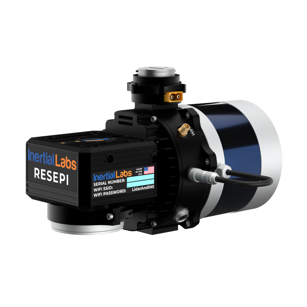
When paired with UAVs, LiDAR’s capabilities are extended even further. Drone-mounted systems like the RESEPI GEN-II combine mobility, precision, and real-time data acquisition. These systems are capable of patrolling large areas, navigating difficult terrain, and supporting operations without putting personnel at risk. UAVs equipped with LiDAR and additional sensors can monitor perimeters, transmit real-time data, and assist in incident assessment. This integration enhances situational awareness and supports more informed responses to potential threats.
The RESEPI GEN-II from Inertial Labs exemplifies the use of advanced LiDAR in aerial security operations. It provides high-resolution mapping, supports multiple sensors, and delivers reliable data under a variety of conditions. The payload’s ability to generate accurate 3D models, detect changes in the environment, and work seamlessly with AI-based systems enables applications ranging from perimeter surveillance to early threat detection. Its use in security frameworks provides scalable, efficient, and adaptable protection for sites requiring consistent, high-precision monitoring. As LiDAR technology evolves, its role in modern security continues to expand, offering refined tools for safeguarding critical infrastructure and high-value assets.