Advanced Navigation has demonstrated high-precision underground navigation without reliance on GNSS or fixed infrastructure, showcasing system performance in one of Europe’s most challenging subsurface environments.
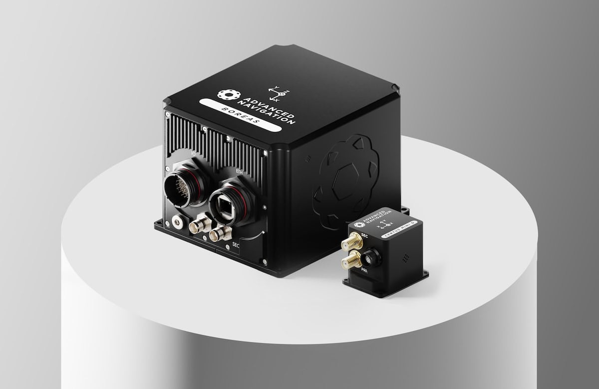
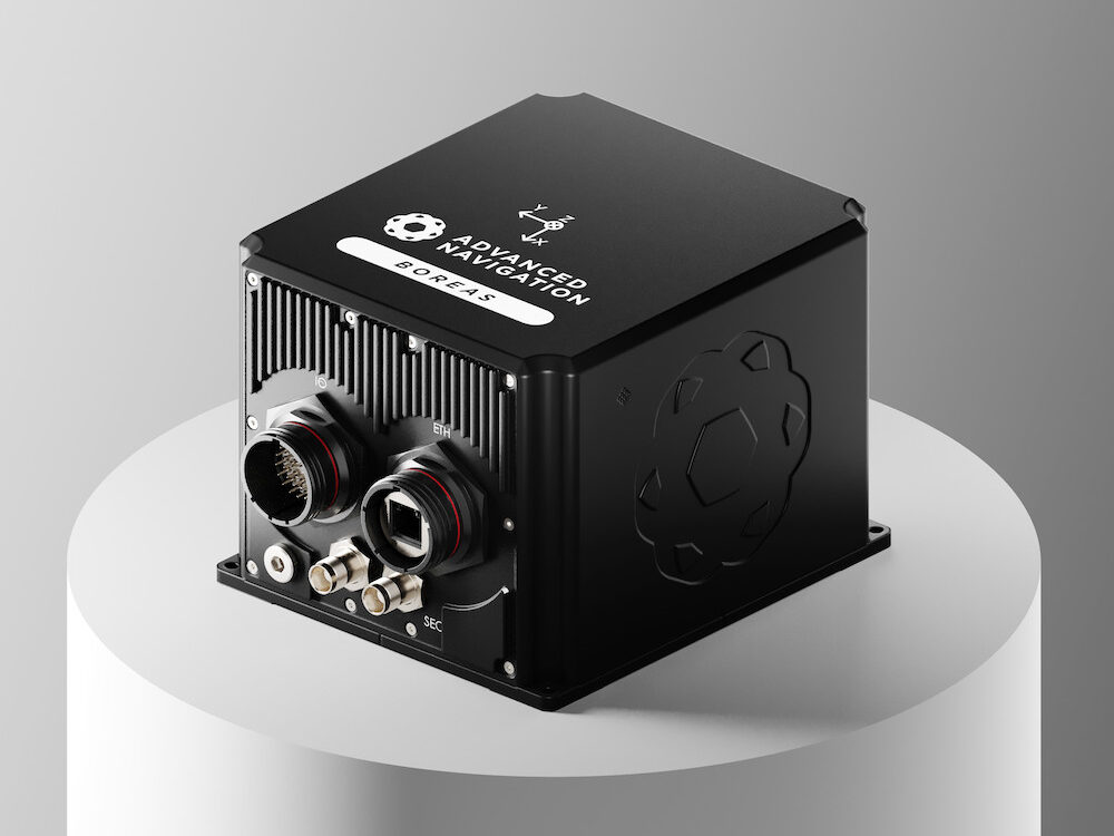
The hybrid navigation solution combines a Laser Velocity Sensor (LVS) with the Boreas D90 Fiber-Optic Gyroscope (FOG) Inertial Navigation System (INS) to deliver accurate, continuous positioning without dependence on fixed infrastructure, pre-existing maps, or external aiding. This approach enables reliable navigation in environments where conventional systems are constrained by signal loss and limited reference points.
During trials conducted in the Pyhäjärvi underground mine in Finland, the system successfully navigated a 22.9 km route to a depth of 1,400 m, operating in complete darkness throughout. Across multiple runs, it achieved consistent sub-0.1% navigation error, with a final position error of 15.9 m (0.07%), demonstrating strong resistance to the drift typically associated with standalone inertial systems.