FlySight has unveiled MAP CREATOR, a new addition to its OPENSIGHT platform, engineered to streamline and speed up the creation of map datasets for real-time 3D rendering in mission-critical environments.
Featuring a completely redesigned Graphical User Interface (GUI), MAP CREATOR enables operators to process raster, elevation, and vector data into optimized MBTILES with just a few clicks, eliminating the need for coding or command-line expertise. The tool supports a wide range of standard and defense-relevant data formats, ensuring compatibility across diverse operational requirements.
“MAP CREATOR represents a major step forward in geospatial usability,” explains Mattia Carpin, Head of Engineering at FlySight. “It combines the technical power of our SDK with the simplicity and visual control today’s users expect.”
Key Capabilities
- End-to-end workflow
From raw geodata to final MBTILES ready for OPENSIGHT’s 3D engine. - Smart Styling
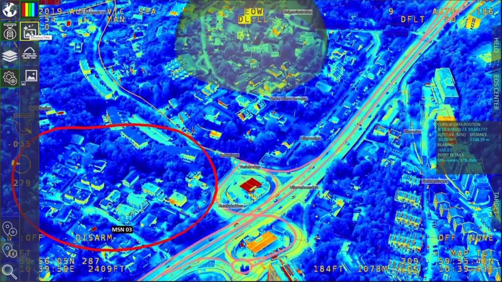
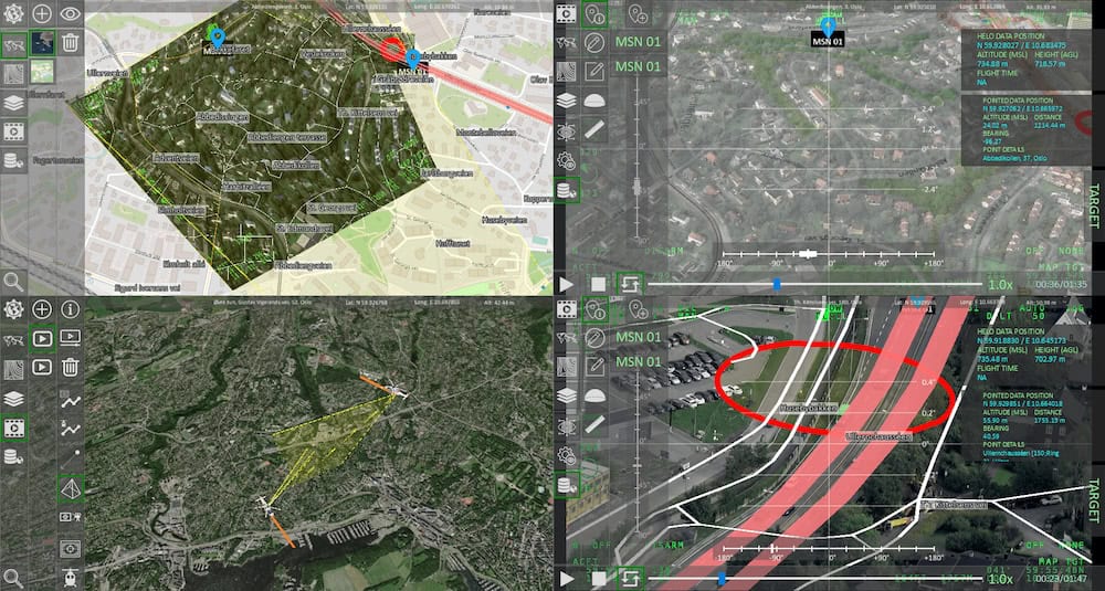
Create and preview complex rules for vector rendering with full attribute control. MAP CREATOR allows users to decide what to represent from the input vector data, selecting specific features and attributes, and how to represent them visually. Thanks to an intuitive styling interface, users can define rules that control colors, labels, extrusion height, altitude modes, and more. This enables tailored, mission-specific map visualizations, ensuring that every element appears with the desired look, behavior, and level of detail in the 3D rendering engine. - Elevation-Aware Rendering
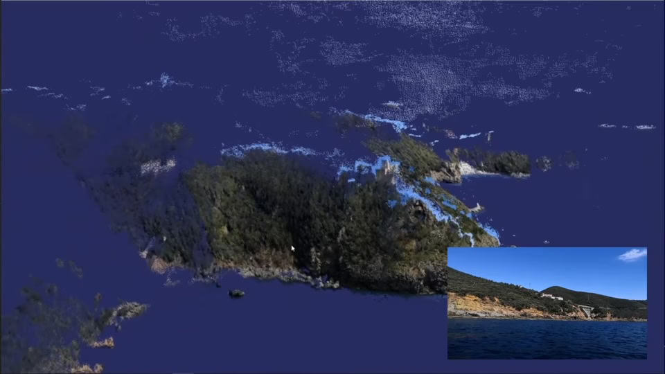
Add terrain precision to 3D vector maps. - Live Previews
Visual feedback before export ensures confidence and accuracy.
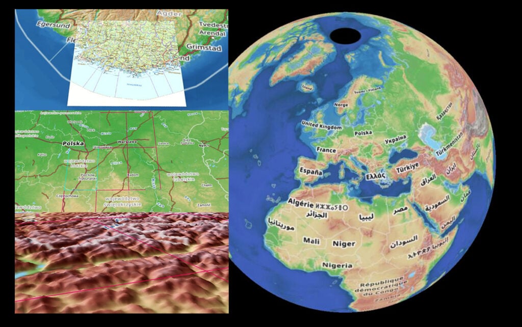
MBTILES Merging: Combine multiple map datasets into a single output. For example, merge a low-resolution global basemap with a high-detail local layer – ensuring broad coverage without sacrificing localized detail. - Full Integration
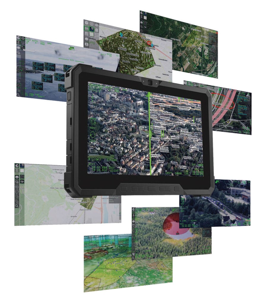
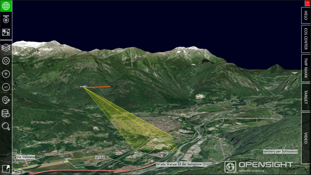
MAP CREATOR is not only part of the OPENSIGHT SDK but also a core component that enhances OPENSIGHT Mission Console capabilities, enabling mission planners and operators to prepare and customize geospatial data directly within their operational environment, allowing mission planners to load, style, and update maps directly within their operational interface.
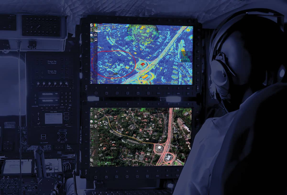
MAP CREATOR is suited for Aerospace, Defense, Environmental Monitoring, and Digital Twin applications, providing advanced geospatial visualization for both strategic planning and operational execution.
The solution is available now as part of the latest OPENSIGHT SDK, fully integrated with OPENSIGHT Mission Console to support real-time mission planning and enhanced situational awareness.