Advanced Navigation is addressing one of the most critical challenges in underground operations: achieving reliable vehicle positioning in environments where conventional navigation fails.
Traditional systems, dependent on wheel or perception-based odometry, are prone to errors from wheel slip, limited visibility, and complex subsurface geometries. Even high-performance Inertial Navigation Systems (INS) struggle to maintain accuracy, leaving operators blind to vehicle movements and creating a costly operational “data gap.”
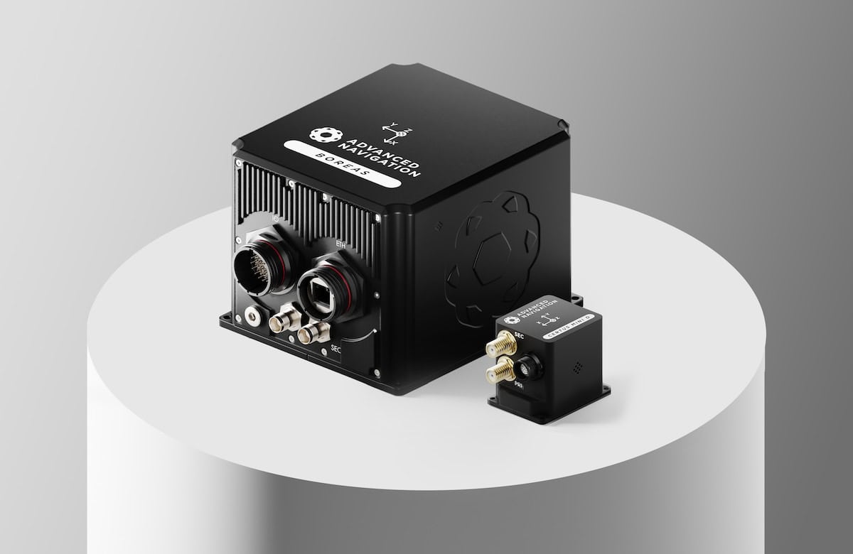
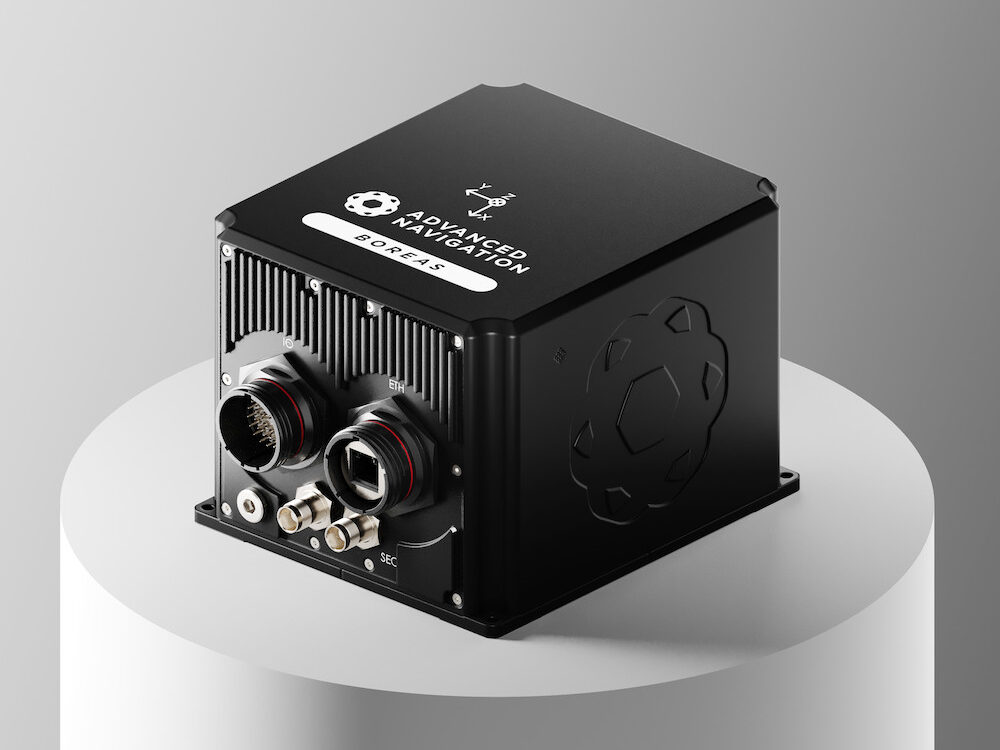
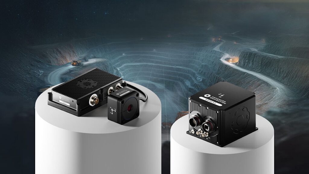
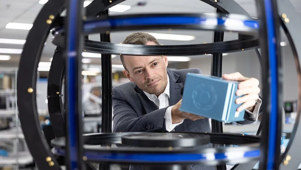
The solution lies in Advanced Navigation’s Chimera Land Laser Velocity Sensor (LVS). By directly measuring true three-dimensional vehicle velocities and feeding them into the INS, the system bypasses the limitations of conventional odometry, delivering precise, time-stamped positional data even in development areas without fixed infrastructure.
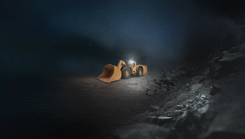
This INS + LVS integration establishes a clear digital chain of custody for every tonne of material moved. Vehicles, from loaders to haul trucks, are tracked from source to destination, enabling accurate reconciliation, predictive maintenance, and optimized fleet management. Trials at the Callio Mine in Finland achieved sub-metre position accuracy over six kilometres, with exceptional heading and roll/pitch fidelity, demonstrating operational reliability under challenging conditions.
By converting motion data into actionable intelligence, Advanced Navigation’s system closes the underground data gap, enhancing operational oversight, safety, and laying the groundwork for future autonomous operations in complex subterranean environments.