Mobile Phone Detection Sensor Now Available as an Integrated Airborne Search Solution

Smith Myers’ ARTEMIS Mobile Phone identification, geolocation and communication sensor is now available as an integrated airborne search solution with FlySight’s Open Sight Mission Console software By DA Staff / 28 Oct 2022

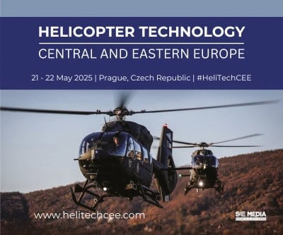
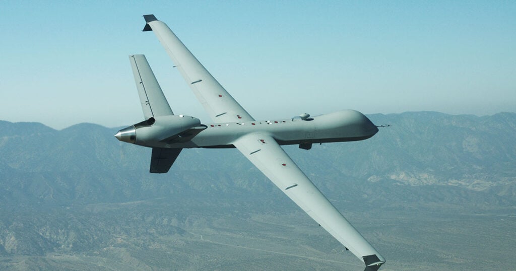
Combat Search and Rescue CSAR

Discover cutting-edge solutions from leading global suppliers
SUPPLIER SPOTLIGHT
Flysight-1
Follow DA

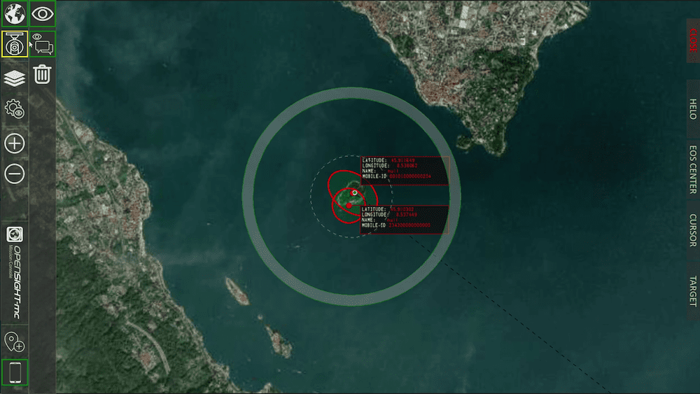
Smith Myers has announced that its ARTEMIS Mobile Phone identification, geolocation and communication sensor is now available as an integrated airborne search solution with FlySight Open Sight Mission Console software.

The agreement, announced ahead of the EUROPEAN ROTORS 2022 conference, combines OpenSIGHT-mc and ARTEMIS for deployment in SAR/ISR missions, where the augmented reality engine can be used to optimize search results.

The collaboration is the first between Italian-based FlySight and UK-based Smith Myers, both deployed with customers globally across SAR and ISR applications, across rotary and fixed wing aircraft.

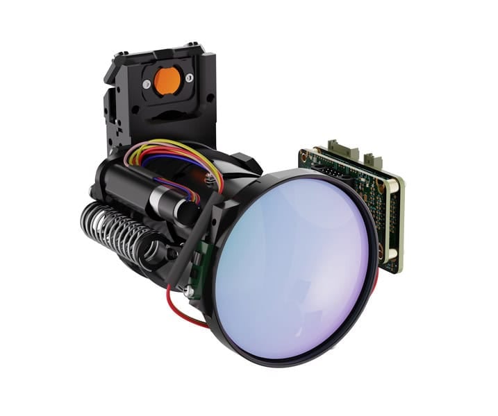
Designed to work with any FlySight hardware options, ARTEMIS can detect a phone at extended ranges and provide capabilities such as mass-mapping and geofencing to minimize crew workload.

ARTEMIS turns any mobile phone into a rescue beacon, only requiring two antennas to generate a latitude/longitude fix at up to 19 nautical miles (35km), offering a radical and effective alternative to traditional airborne sensors.

Some key features include: 

  • Texting and calls in no service areas
  • Possible automatic cueing of EO/IR (Electro -Optical/Infra-Red)
  • Deployment as a stand-alone with embedded mapping or integrate with leading mission system providers
  • Making missions in low light/ IMC (Instrument Meteorological Conditions) safer and increasing the odds for a positive outcome
  • Available in several SWaP configurations for manned/unmanned platforms

“ARTEMIS allows the operator to search for and geolocate the mobile phones of persons in distress during search and rescue operations and natural disasters,” said Andrew Munro, director, Smith Myers. “The integration of the location information from ARTEMIS into OpenSight creates a clearer operational picture for the operator and simply put, leads to more positive outcomes.”

Andrea Masini, CTO of FlySight, explained the system integration: “The same information can also be exploited directly by the augmented reality engine, where the georeferenced positions are overlayed directly on top of the video together with the localization uncertainty, thus allowing the operator to use the EO system to confirm the localization outcome, and can be used to steer the turret automatically in order to frame the desired location.“

ARTEMIS has been in active service saving lives around the world. The global customer base includes deployment with the Royal Norwegian Airforce for search and rescue duties with the Leonardo AW101 SAR Queen. 

Posted by DA Staff Connect & Contact

Latest Articles

GA-ASI & Marine Corps Advance MQ-9A Operational Capabilities

The U.S. Marine Corps has accumulated over 1,000 flight hours using the MQ-9A unmanned aircraft in collaboration with General Atomics Aeronautical Systems, Inc. (GA-ASI)

Apr 30, 2025
New ESTU Module to Boost Short-Term Stability of Optical Cesium Clocks

Adtran has launched the Enhanced Short-Term Unit (ESTU) for its OSA 3300 optical cesium clocks, delivering passive hydrogen maser-level stability and significantly enhancing precision timing for defense applications

Apr 30, 2025
Sky Power to Showcase ISR UAV Propulsion Technology at XPONENTIAL 2025

Sky Power International will present advanced UAV propulsion technologies at XPONENTIAL 2025, highlighting powerful engines, hybrid systems, and customized solutions for ISR and civilian applications

Apr 29, 2025
Full Ground Autonomy Integrated into Army SMET Vehicle for Uncrewed Breaching

Overland AI demonstrated its latest autonomous ground breaching capabilities at Project Convergence Capstone 5, integrating advanced software, hardware, and aerial payloads for Army experimentation

Apr 29, 2025
Application of Wheel Speed Sensors in INS

Micro-Magic delves into how wheel speed sensors are often used as auxiliary sensors in INS to improve navigation accuracy and suppress accumulated errors of inertial sensors

Apr 28, 2025
Product Spotlight: The Honeywell HG4930 IMU

Honeywell highlights the key features and reliability of the Honeywell HG4930 IMU, a trusted solution for navigation in GNSS-denied environments and challenging conditions

Apr 28, 2025

Featured Content

Sky Power to Showcase ISR UAV Propulsion Technology at XPONENTIAL 2025

Sky Power International will present advanced UAV propulsion technologies at XPONENTIAL 2025, highlighting powerful engines, hybrid systems, and customized solutions for ISR and civilian applications

Apr 29, 2025
Q&A with DEFCROS: Key Insights for the 2025 Expo

DEFCROS Founder Kristijan Ilovača discusses the expo’s rapid growth, international ambitions, and how the event aims to support defense and security innovators

Apr 24, 2025
Ophir® FoldIR Lens Enhances Long-Range Imaging for Defense & Security Operations

The new Ophir® FoldIR 25-275mm MWIR zoom lens delivers compact, long-range imaging with low-SWaP performance for drones and small gimbal platforms

Apr 17, 2025
Advancing Defense Capability Through Strategic Collaboration Defense Advancement works with major OEMs to foster collaboration and increase engagement with SMEs, to accelerate innovation and drive defense capabilities forward.