

MANTIS – Command-and-Control Software
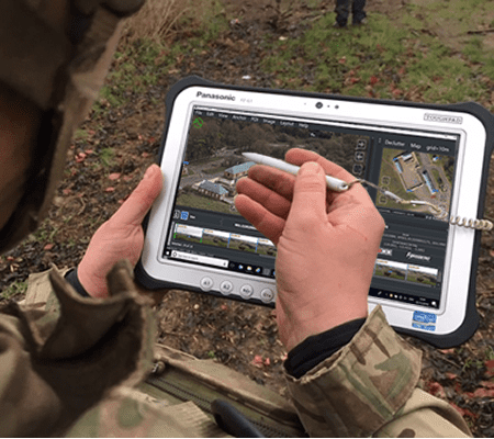

MANTIS combines real time sensor data into a common operating picture, utilizing common internationally recognized standards. The result is a reduction in the time between sensing points of interest and effecting them.
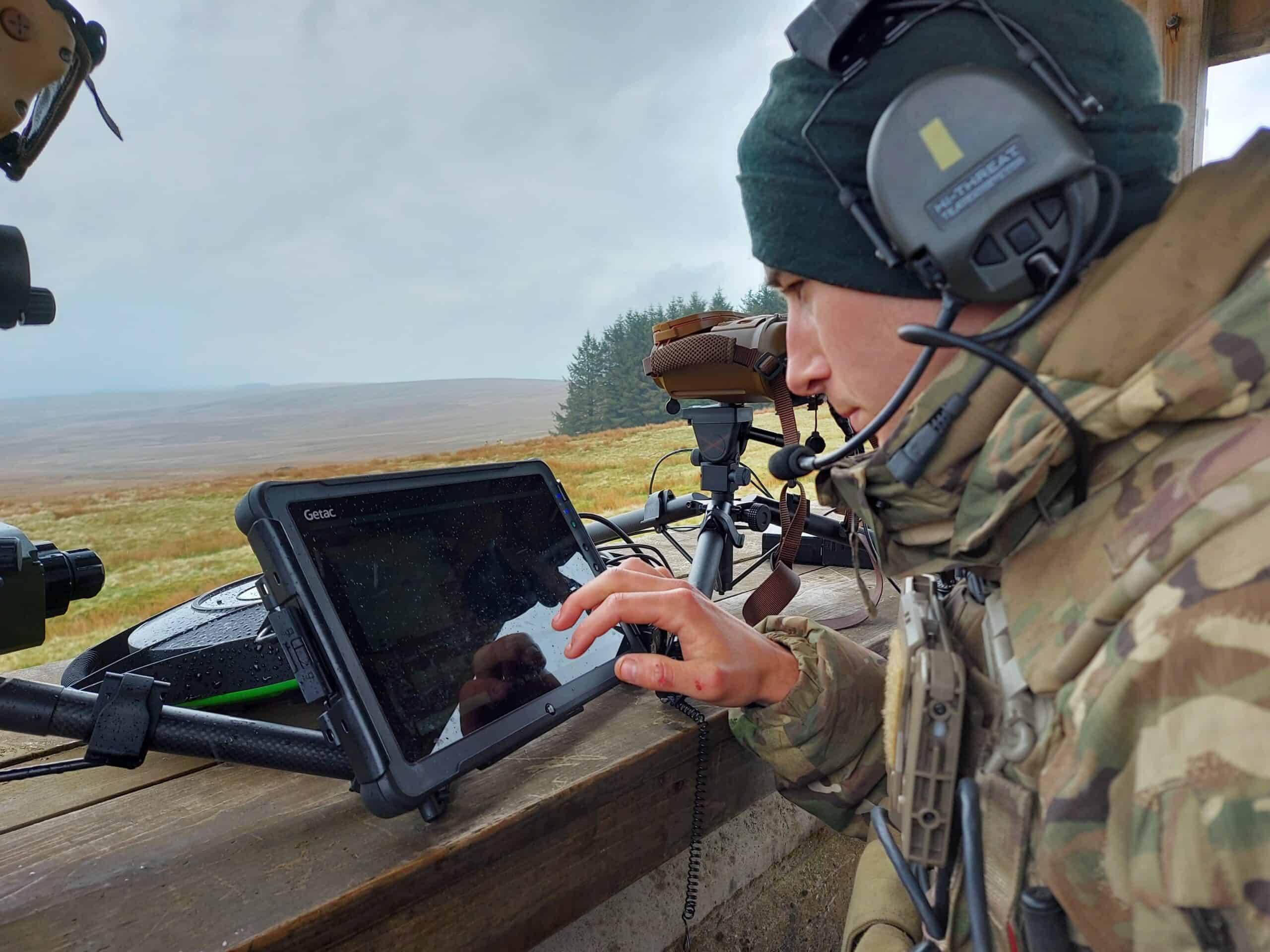
Operators use a chest mounted tablet and an integrated sensor capable of capturing georeferenced imagery and STANAG 4609 compliant video feed. The user is able to share data via a secure radio network or Wi-Fi connection.
MANTIS can be installed on a capable end user device in minutes and already has many data formats that it can ingest. All users feed into the MANTIS HQ element providing a full battlefield picture allowing for current situational awareness and timely decision making.
Core capabilities include:
- Manoeuvre and mobility navigation and route coordination
- Joint Intelligence, Surveillance and Reconnaissance via sensor data exchange and display
- Message exchange and battle log


